Some days ago I presented the "tut gut" hiking trail Rohrendorf - Route 1, now I want to show you Route 2.
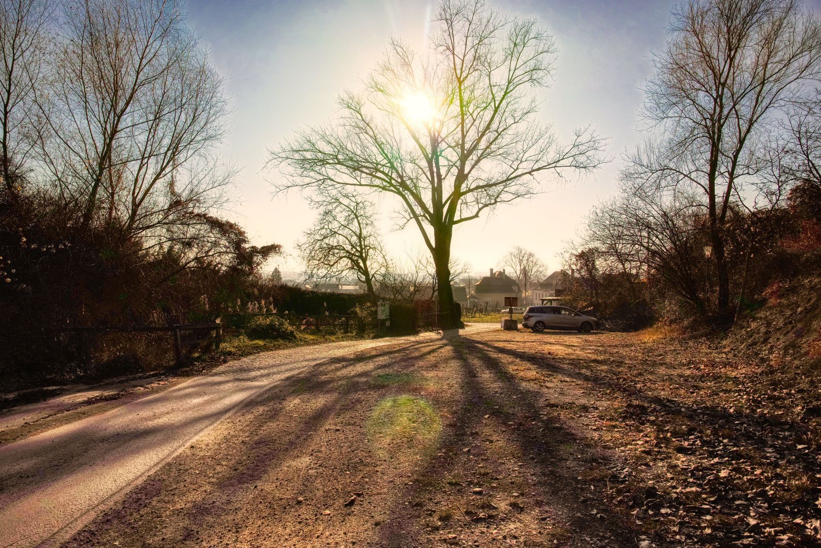
Also Route 2 starts at the parking space behind the Sepp Moser winery.
But at the Viehtrift-Heurigen you don't turn right, instead you turn sharp left.
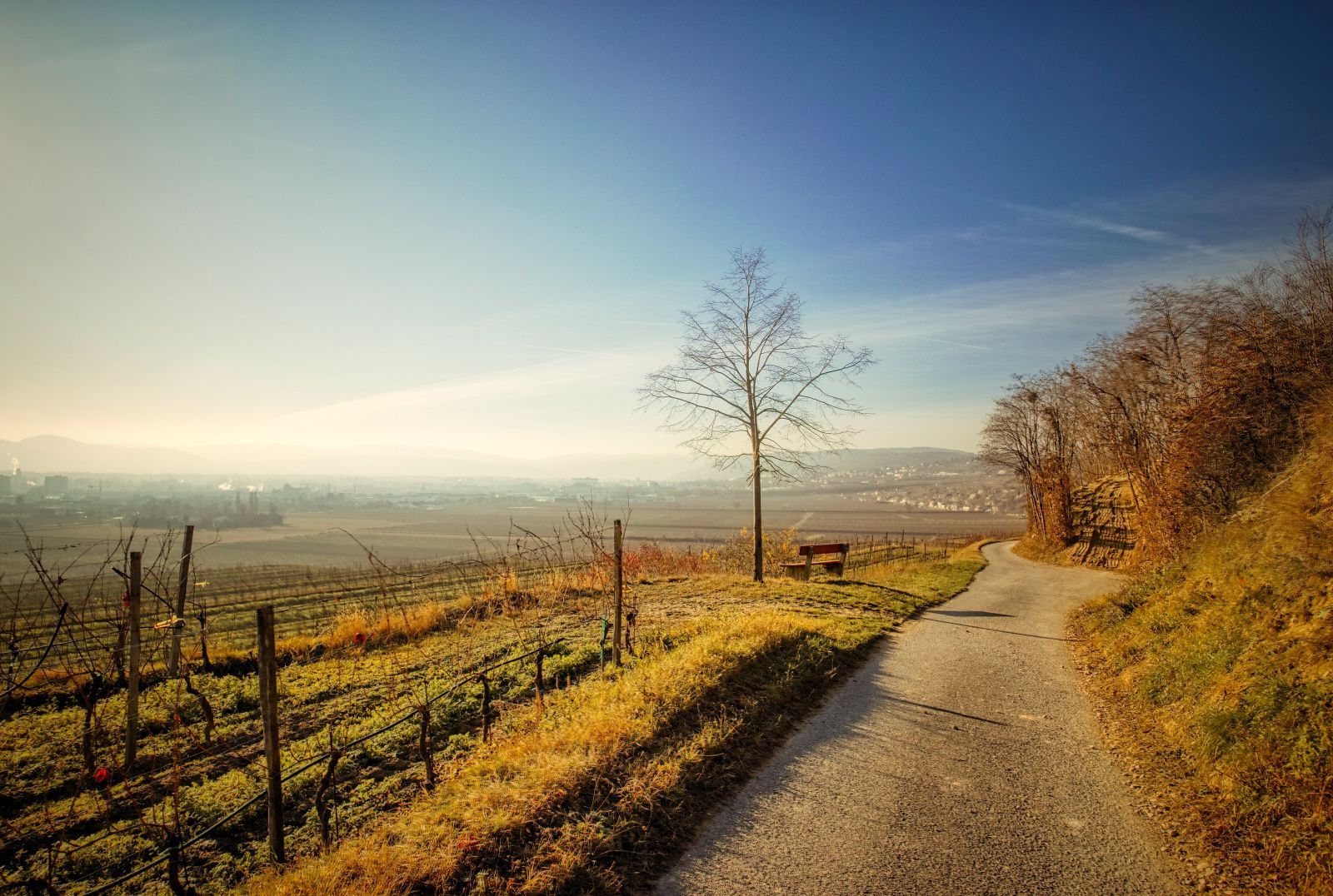
Some minutes later you reach the "Kleine Geblingweg" that is quite flat, on sunny days exposed to the sun almost around the clock and offers a beautiful view to Rohrendorf.
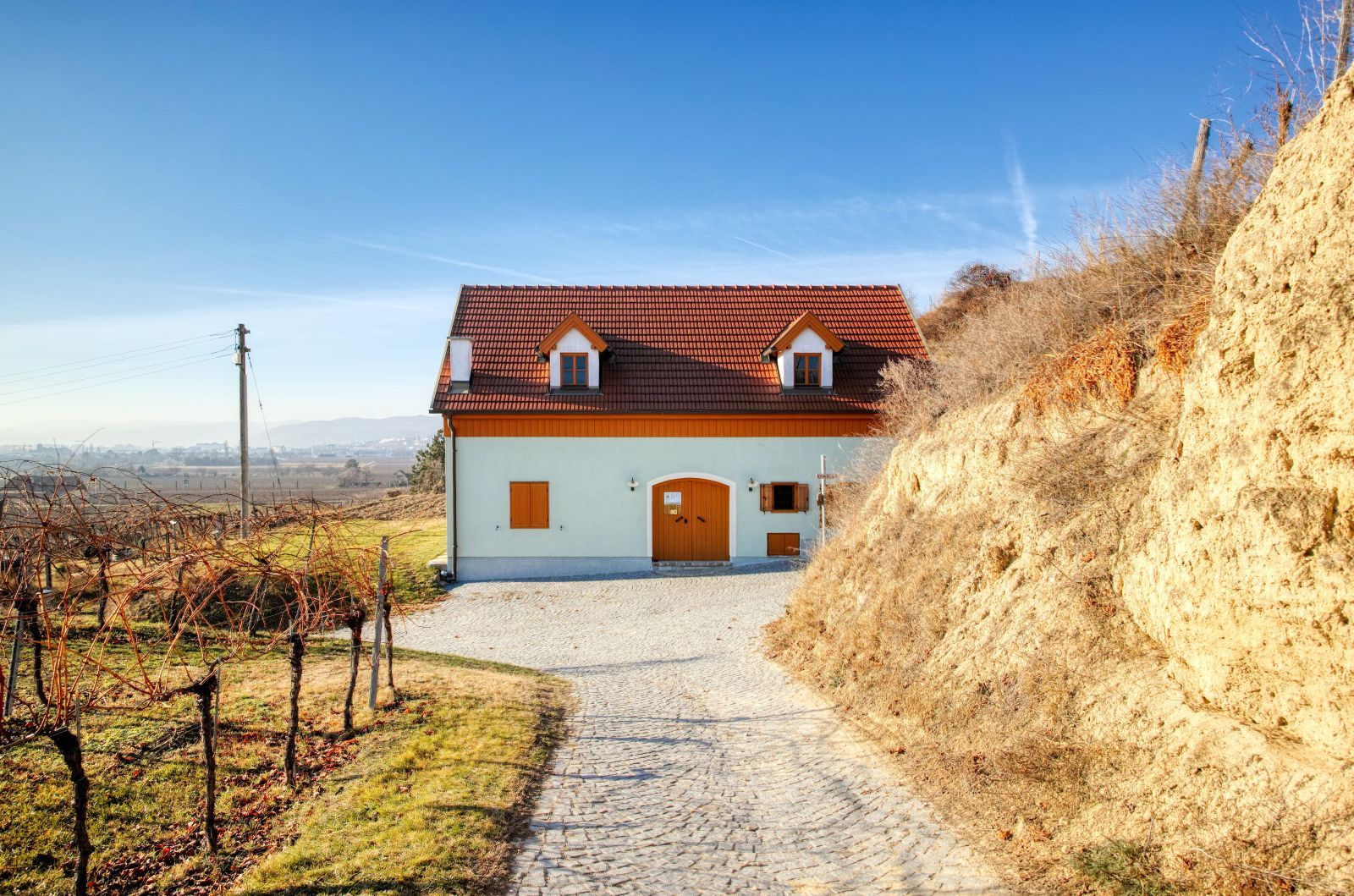
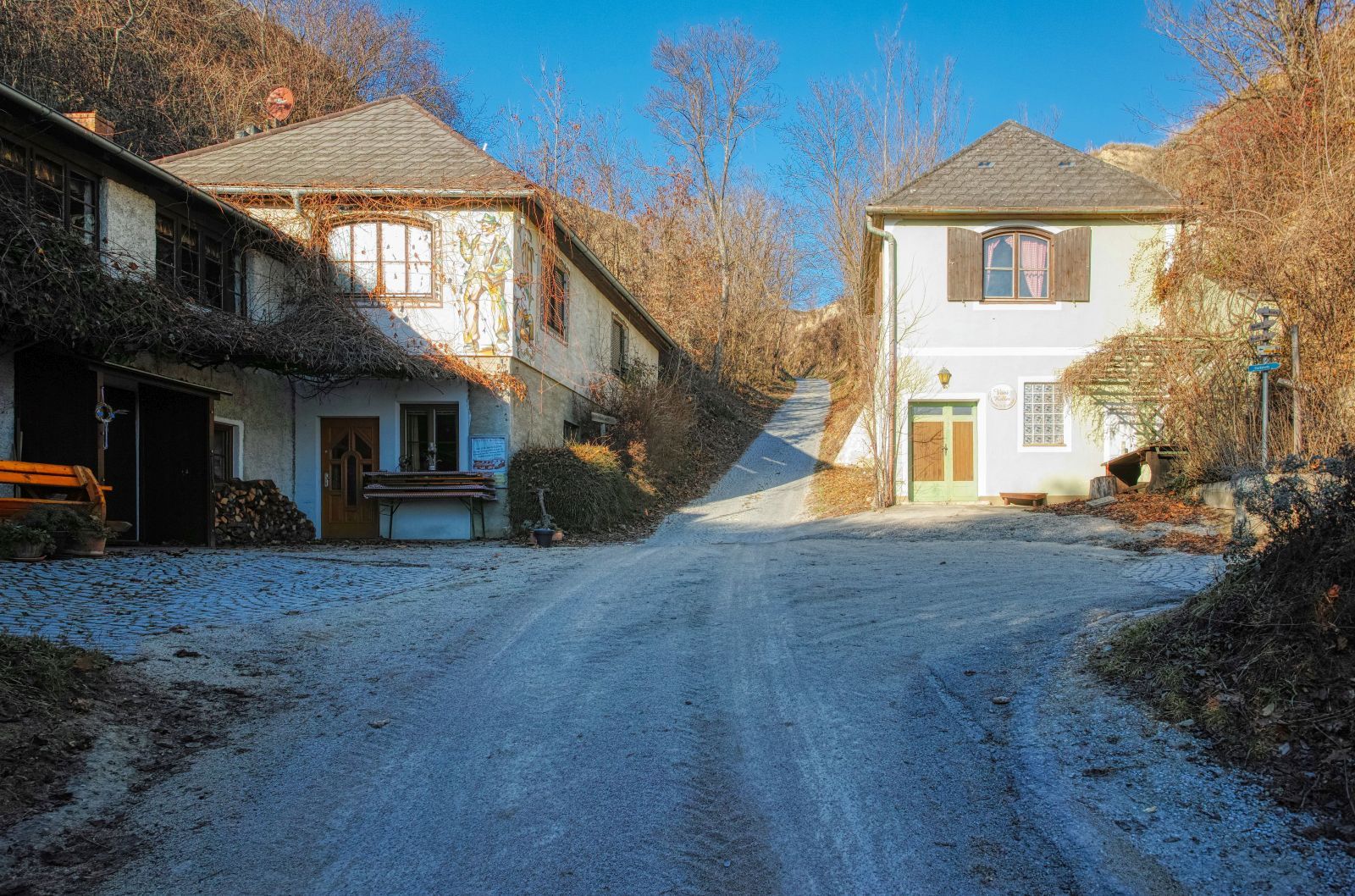
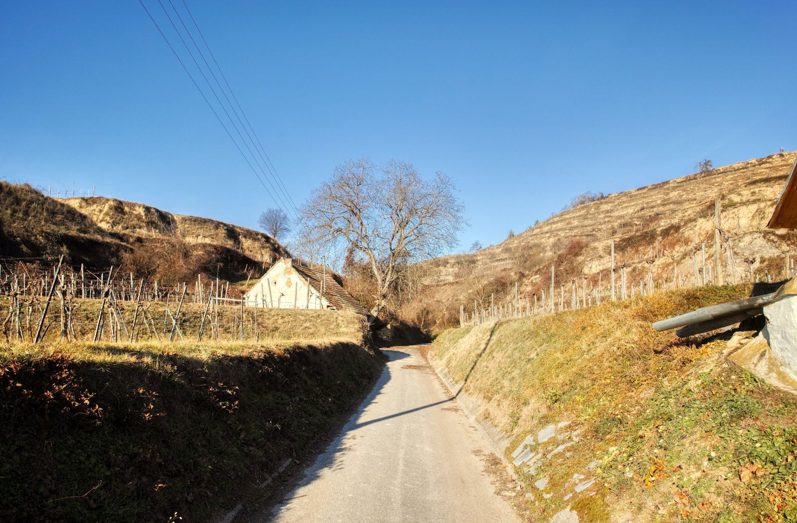
Then you arrive at this house. Now you turn right and…
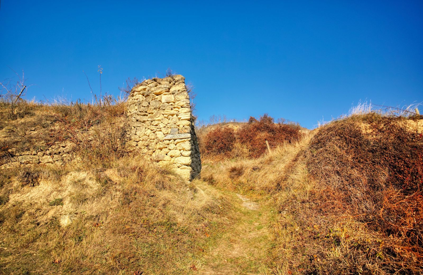
walk up the "Hauersteig", a narrow and steep path covered with grass.

But there are also beautiful places to relax and recover from the effort of the ascent.
Later you arrive at a narrow street, here you turn left and continue your walk in Western direction.
Then you reach some houses. Here you continue walking straight ahead the street called "Breitenrain".
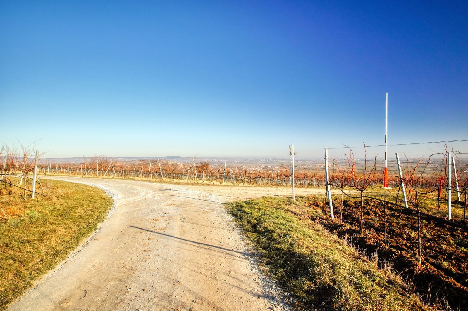
The street then turns right and leads straight up the hill.
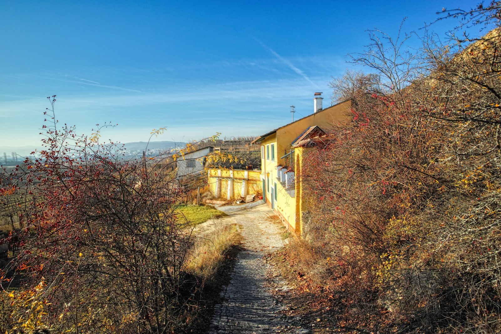
At the end of the street you'll reach another street, the "Große Geblingweg". Turn left and follow this way in western direction until you reach a house.
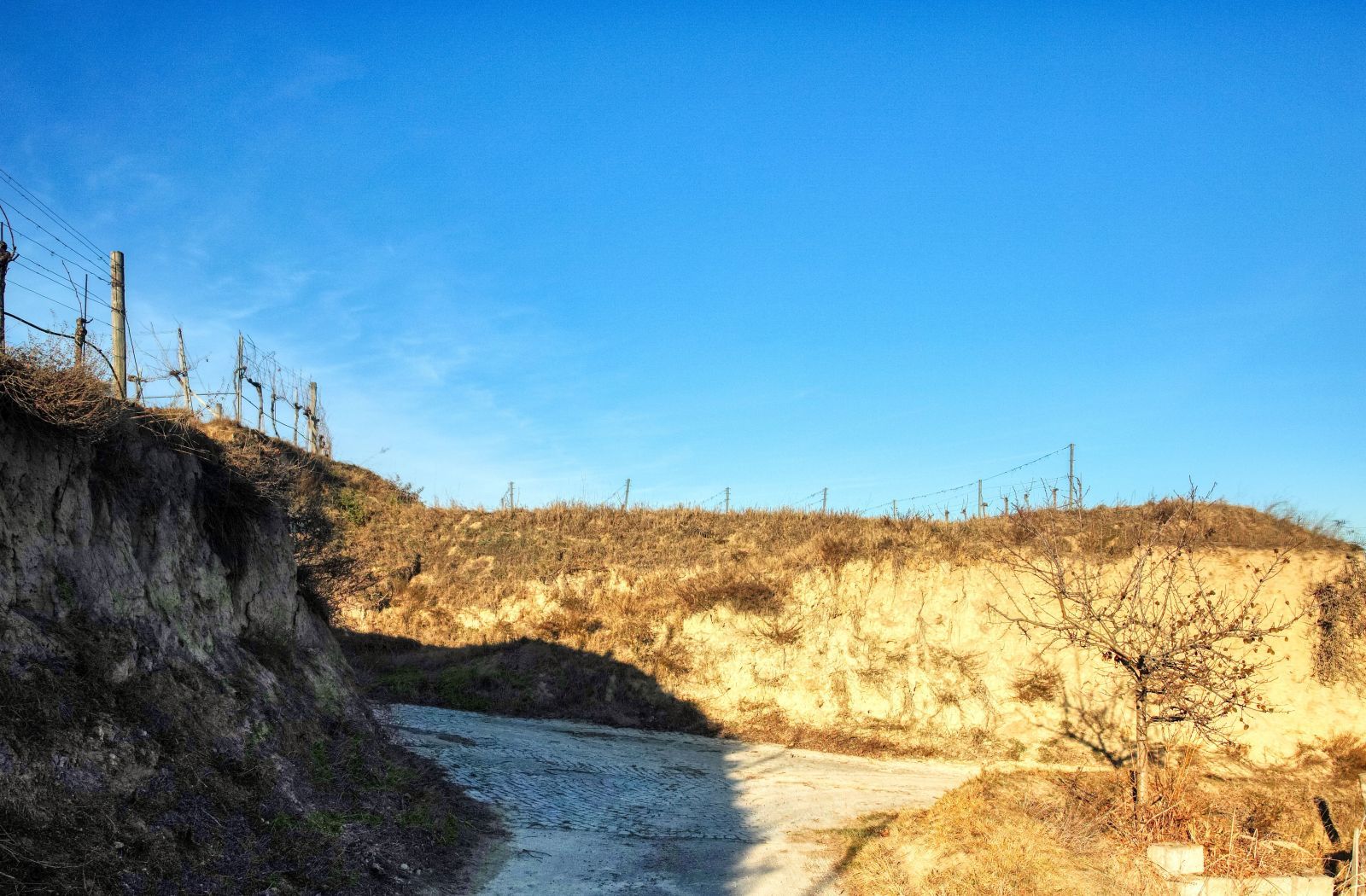
At this house you turn right and walk up a hollow road called "Rosshimmelweg". Walk up this road!
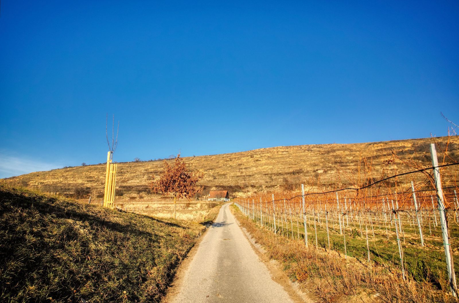
Later on this road will make a right turn and you'll see vineyards on your left side.
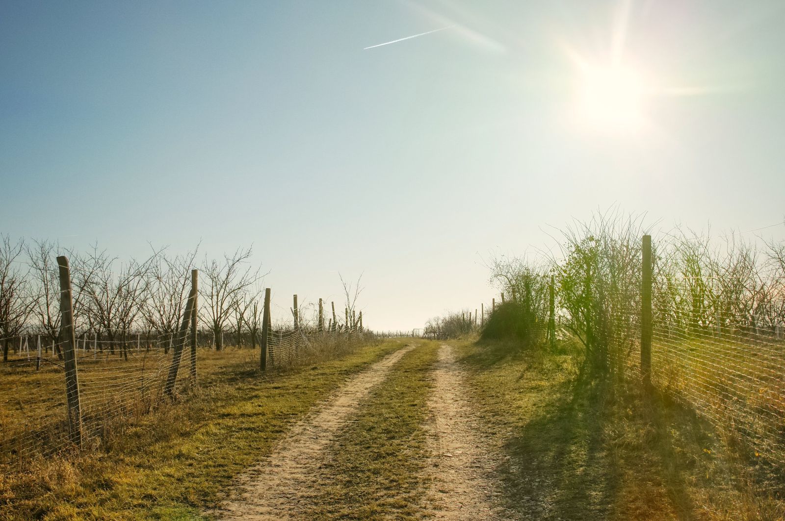
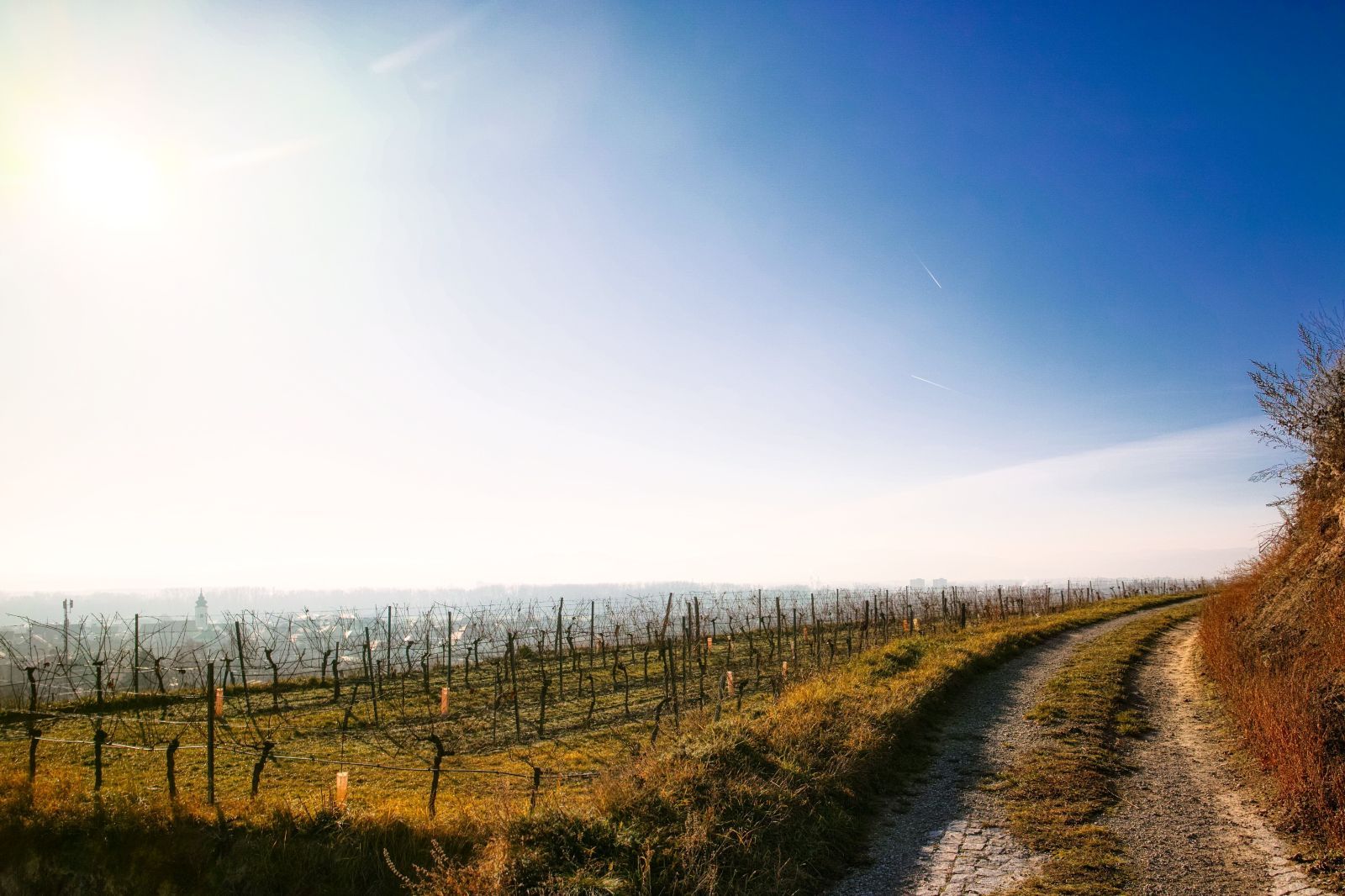
Shortly afterwards you will find a path through fruit orchards and vineyards. Follow this path in Southern direction.
This path will later on turn left and lead to another street called "Neubruchweg Süd". Here you turn right. Also this path will make a left turn, then you can continue following the way for around 500 meters.
The road on the right side (usually closed for cars with a red and white barrier) leads to the "Heinz-Conrads-Tor", that I have described in this story. You can do this small detour, but route 2 continues on the street on the left side.
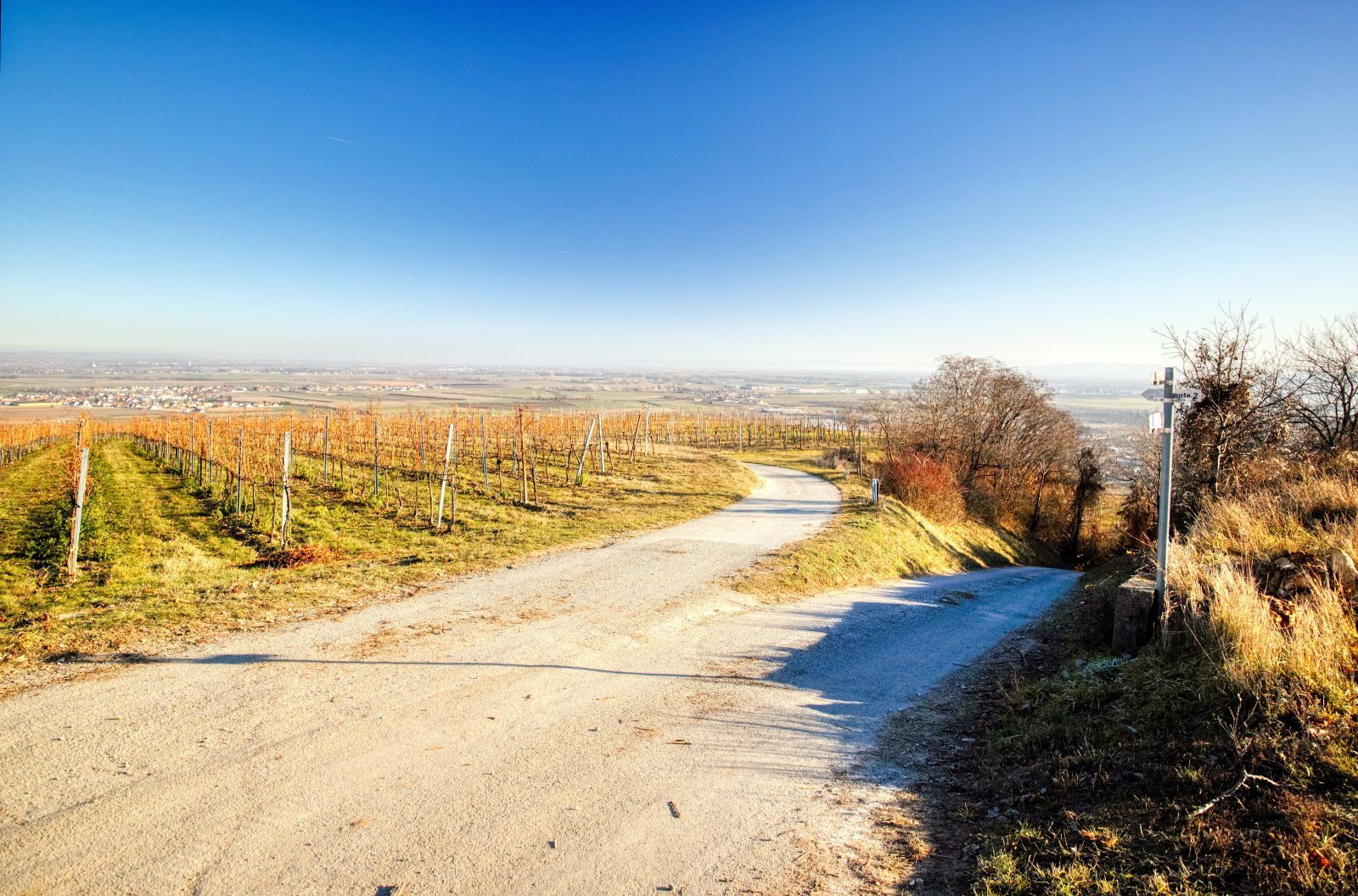
You then reach the "Viehtriftweg" and continue walking on the left of the two streets on the right side.
Here you have to turn left. Some meters later the road splits and you have to choose the one on the right side.
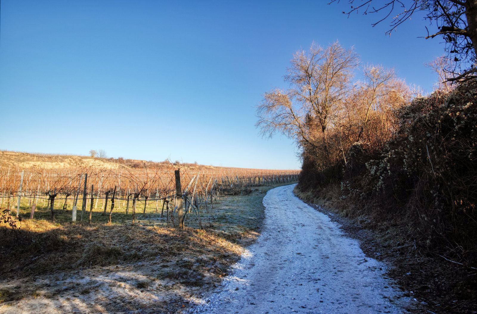
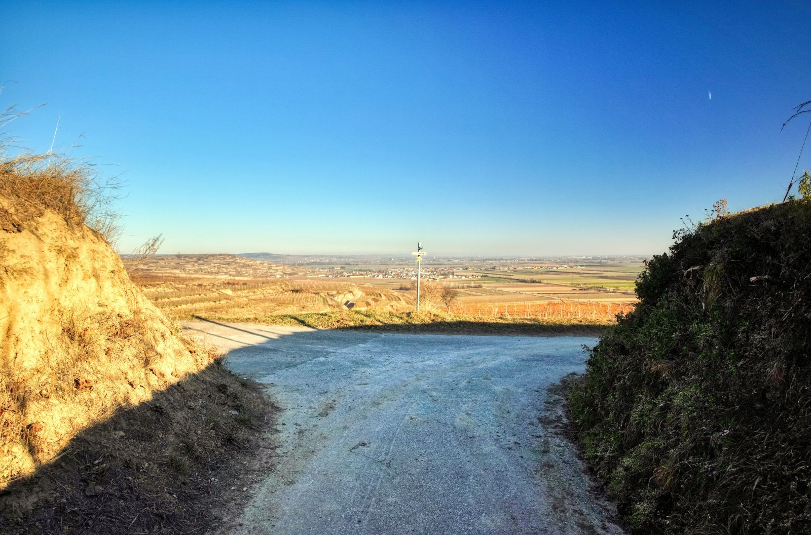
After again some minutes of walking you reach a road called "Steinmasslgraben". Here you turn right.
You follow this hollow road until you reach the Lindobelgasse, a cellar alley that you might know from this story or from route 2.
You turn right into this cellar alley and walk downwards in Southern direction.
At the end of the cellar alley you turn right and walk to the parking space again.
The whole hike is about 6.7 kilometers long and you'll need between 1.5 to 2 hours. Unfortunately, some sign posts have been removed or turned in the wrong direction. So please download the map from wanderwege.noetutgut.at (choose "Waldviertel", then "Rohrendorf bei Krems" and finally "Route 2"!), print it and take it with you. It is also recommendable to use a special GPS for hiking on your smartphone, for example bergfex. Right now (December 2019), Google Maps does not include many of the paths described in this story!
A detailled map is also included in my German description of this hike on schmatz.blog!
Besides that, it is a really great hike. You change between steep ascents, flat roads and steep descents. You have all kinds of road surfaces you can imagine: asphalt, gravel, pavement, cobblestones, grass etc. - in winter probably also ice and snow. So this route is a very good route for training purposes, but you can also enjoy great views!
It is also suitable for Nordic Walking, but of course not for strollers and wheelchairs!

Comments