Lengenfeld is a small village with around 1.400 inhabitants near Krems an der Donau in Lower Austria. The small village has established some nice hiking trails, including some circular hiking trails, for example to the Spiesberg mountain.
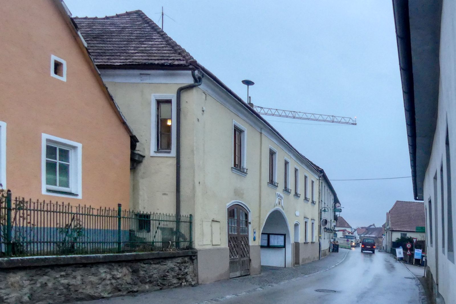
All hikes start at the municipal office of Lengenfeld

For the "Spiesberg Wanderung" you have to walk through the courtyard of the municipal office.
Then you cross a street called "Hofstatt" and continue your walk over a pasture.
You will then reach a street called "Kollerweg" and turn right into this street, some meters later you have to turn left into the "Schickenberggasse".
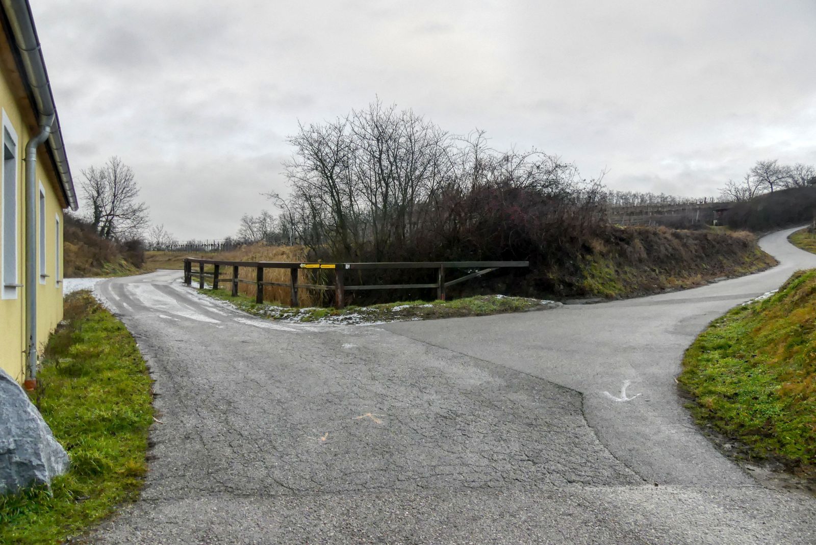
At the next crossroads you have to take the left road.
And at the next crossroads the right road. Then you continue walking straight ahead for a while.
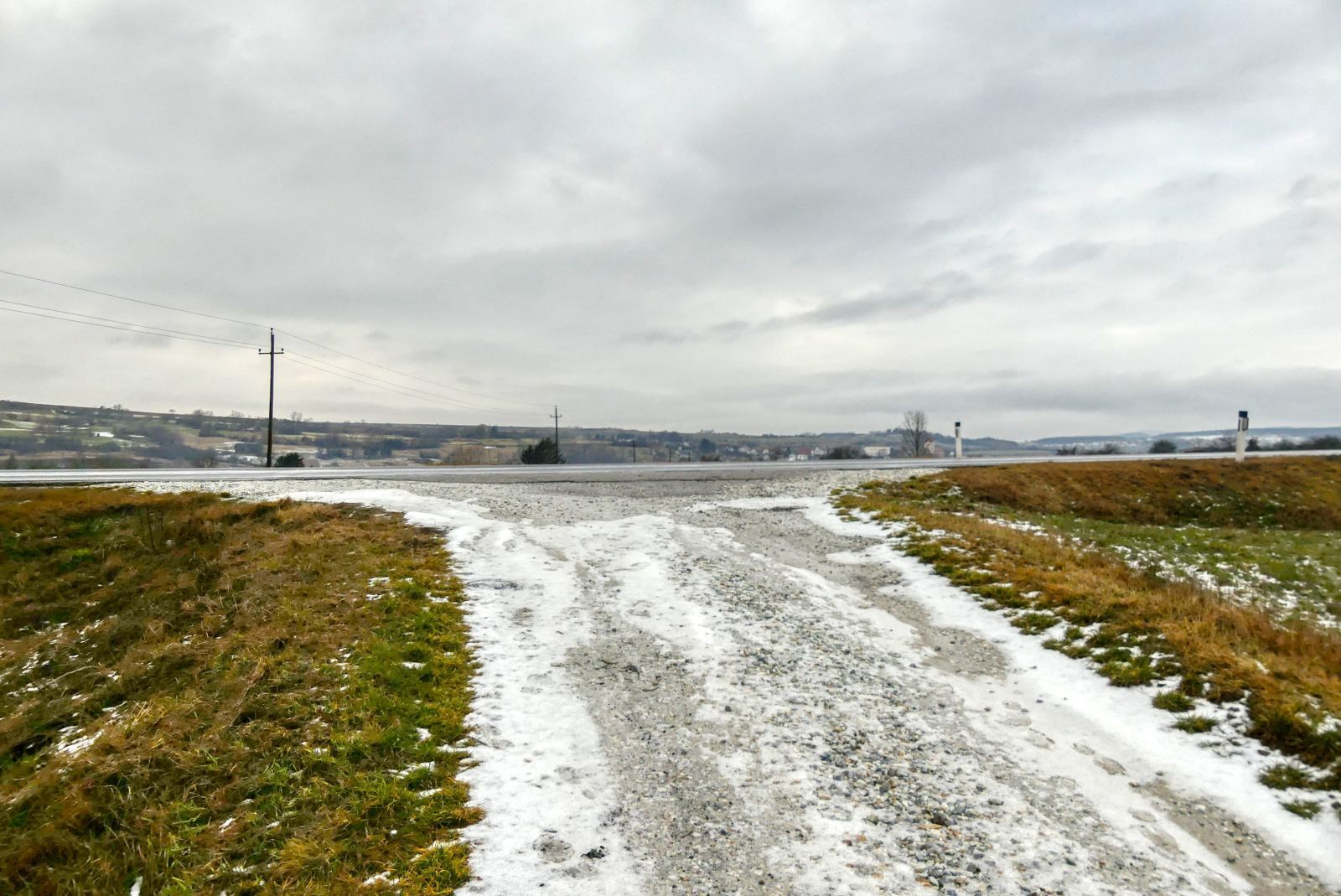
Then you reach the main road L7030 and turn right into this road.
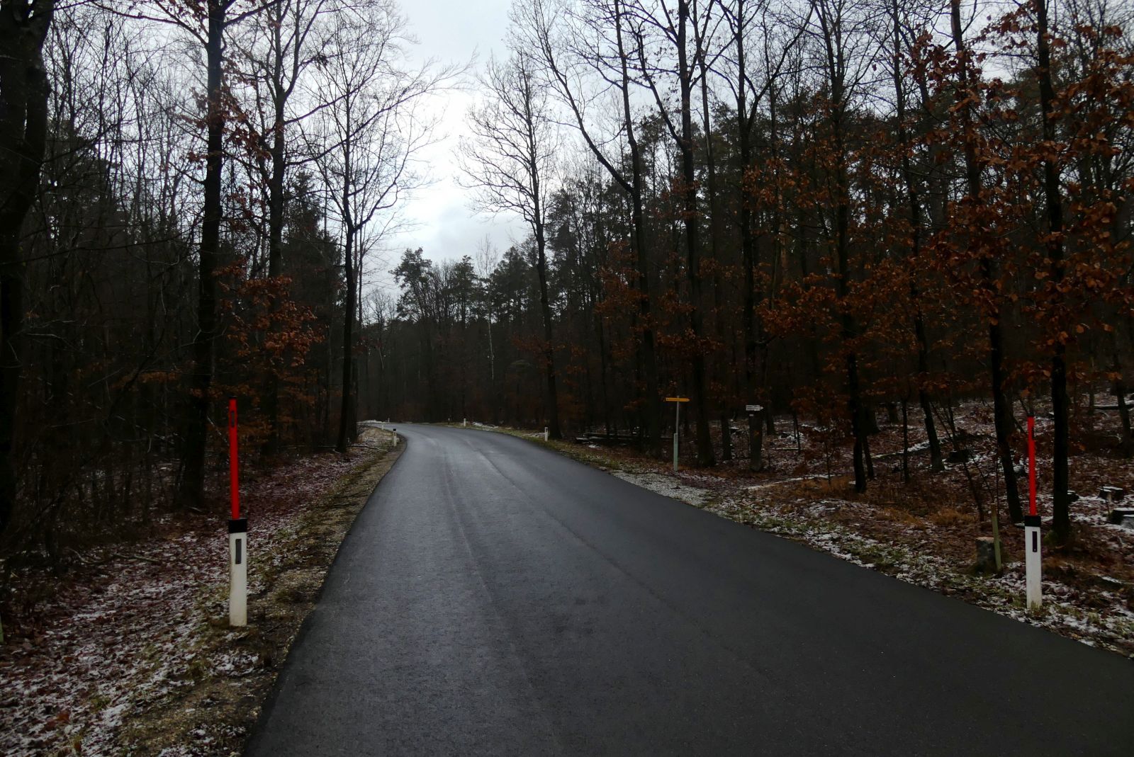
After 300 meters turn right into the wood and walk the path through the wood.
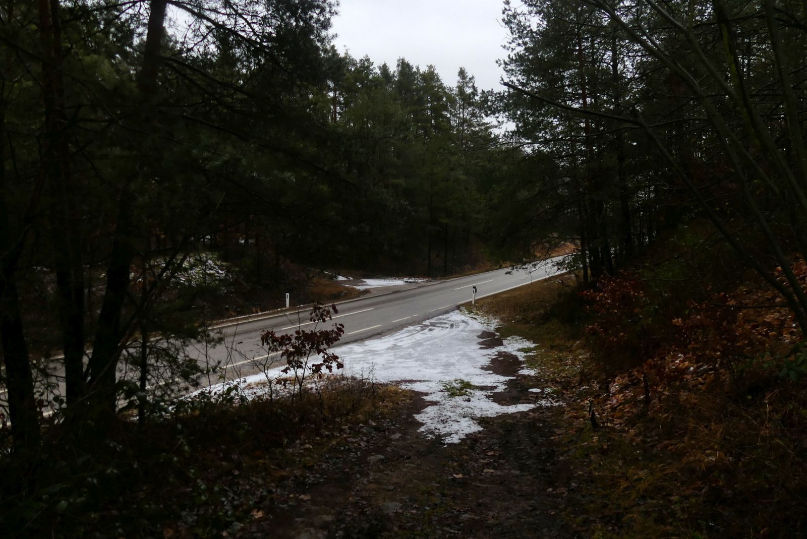
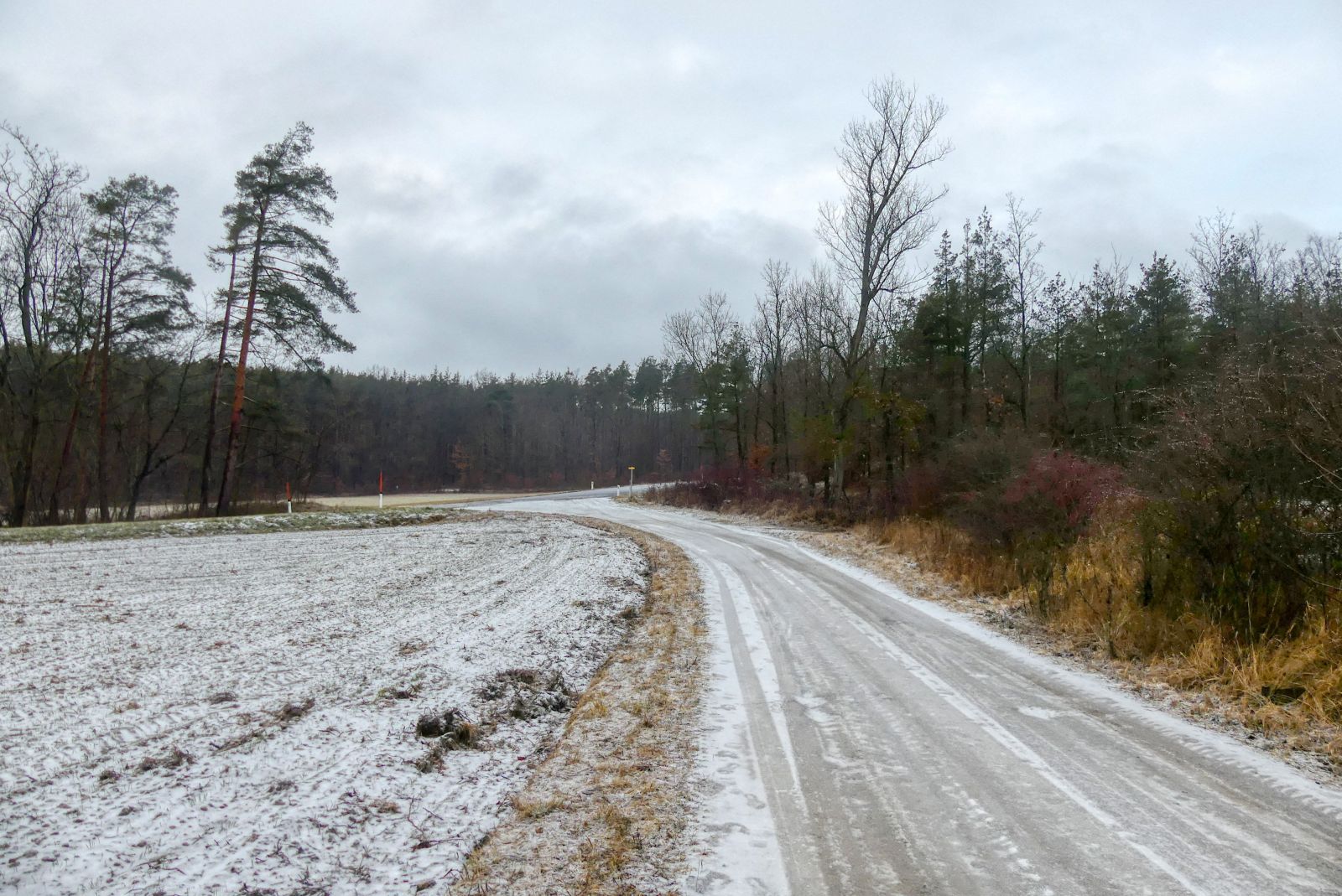
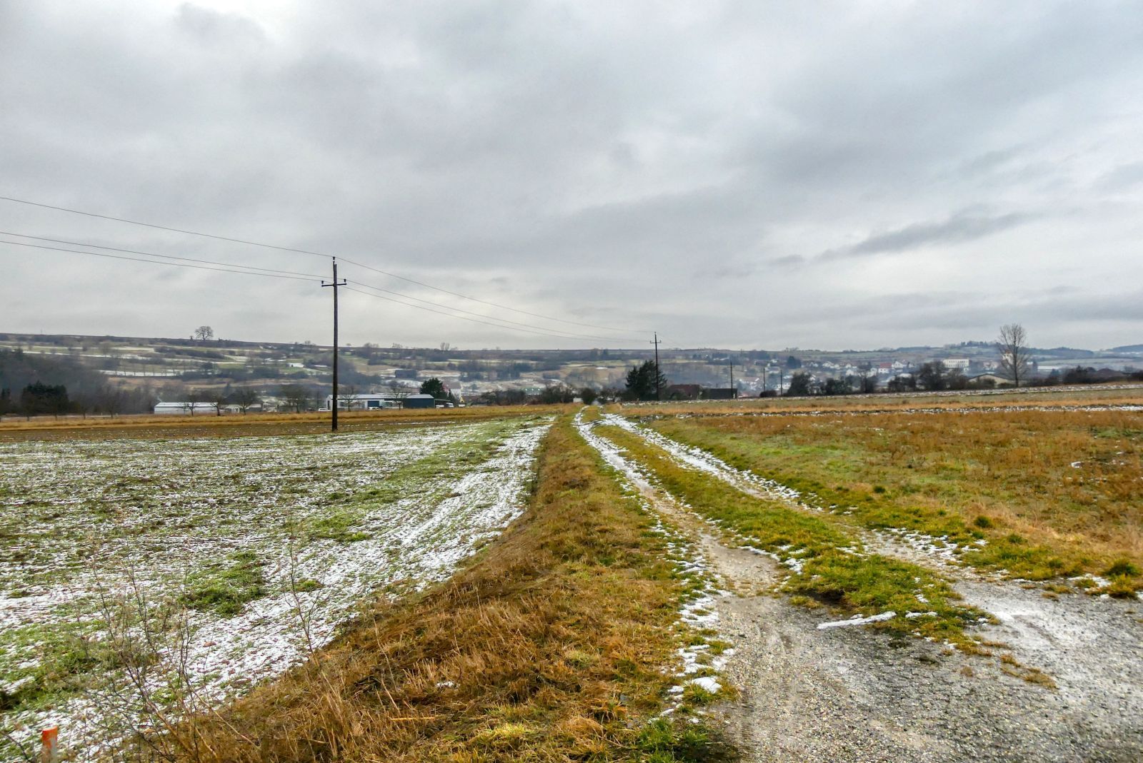
After 300 meters walking through the wood you will reach the main road L55 "Gföhler Strasse". Cross this road and walk again through the wood.
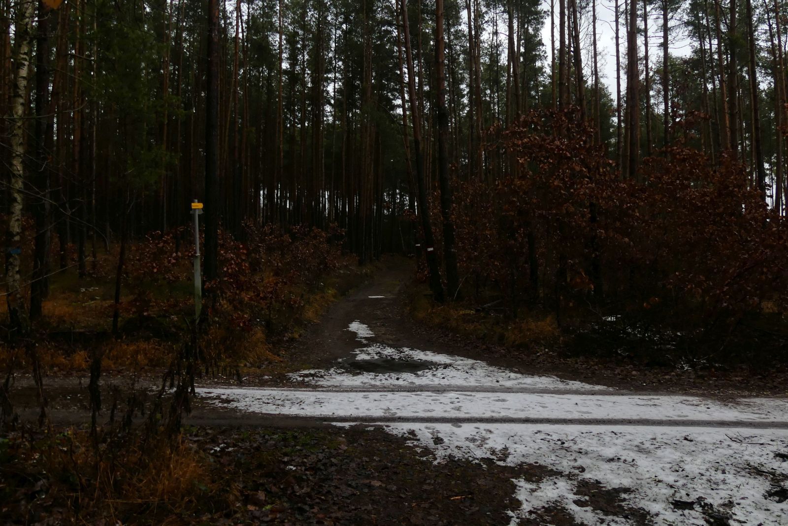
Follow this road for about 2 kilometers.

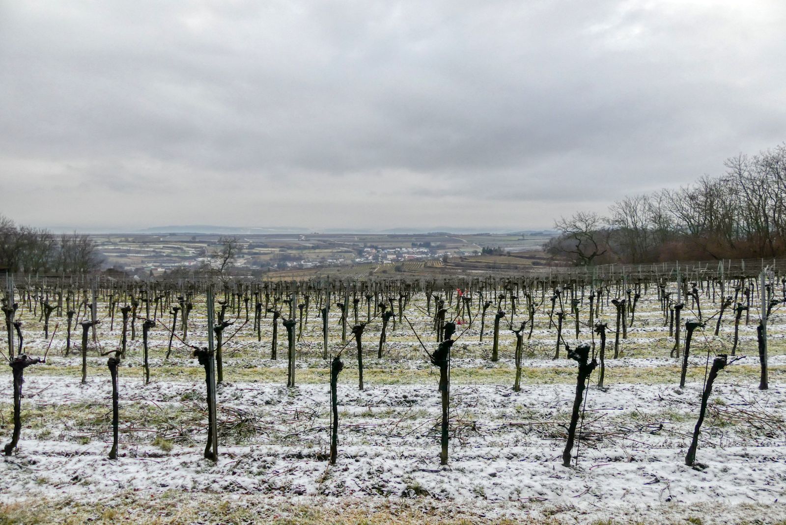
Now the bad news: The hiking trail won't lead to the "summit" because the summit is surrounded by trees and doesn't offer a beautiful view. But: sometimes you will have vineyards on your right side and from there you can look down to Lengenfeld.
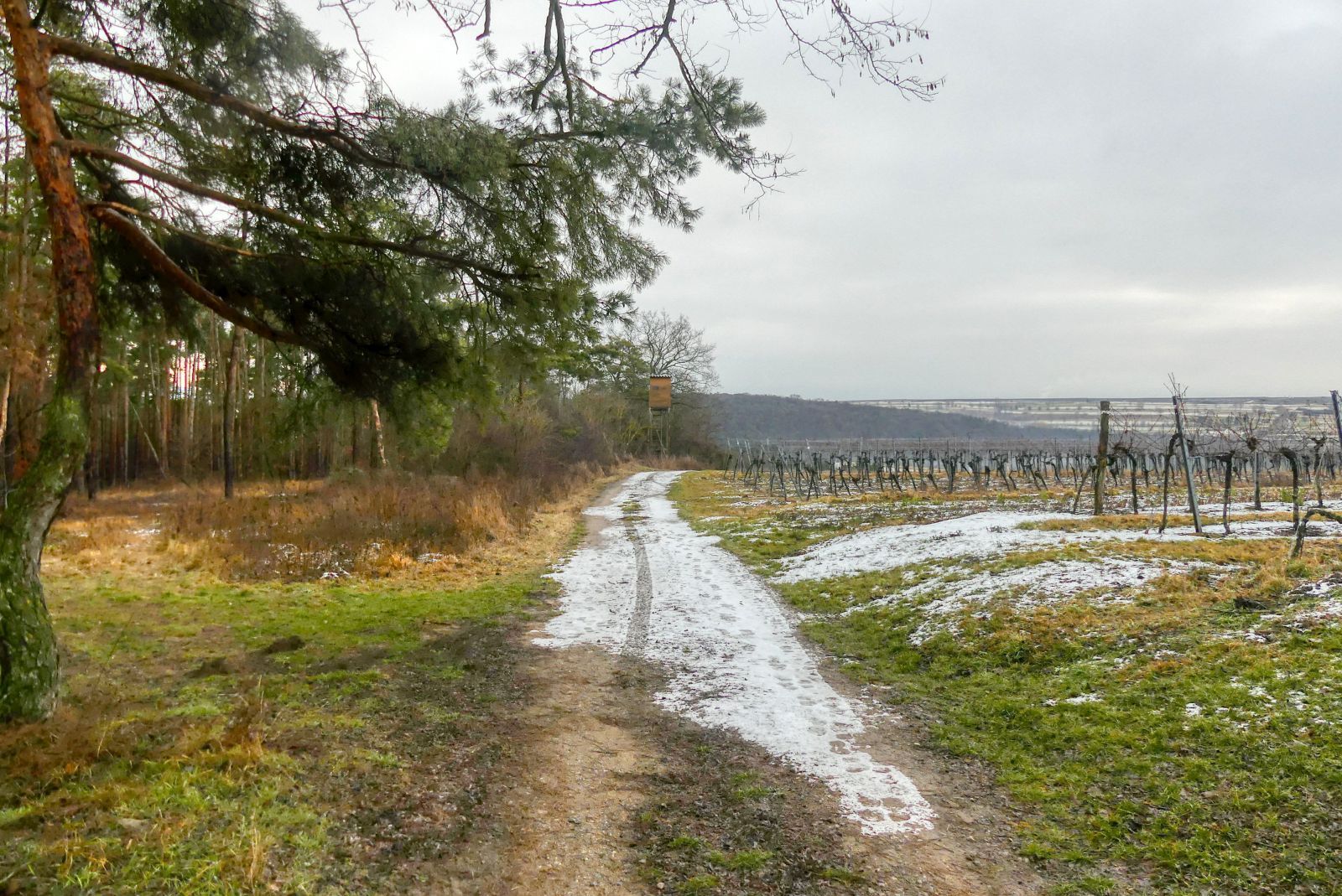
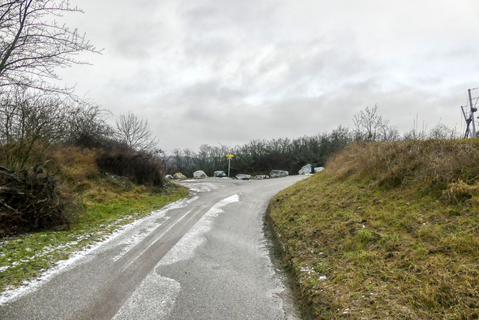
After 2 kilometers you will finally leave the wood and the road will make a right-turn.
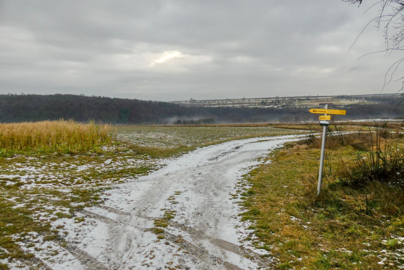
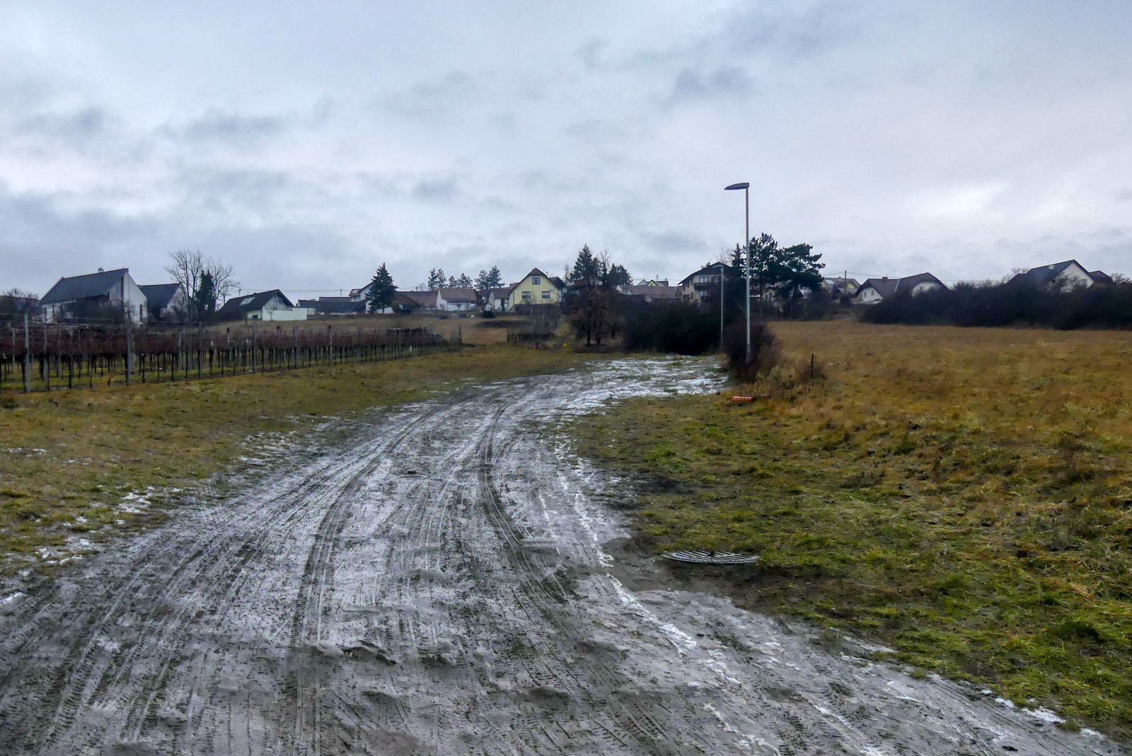
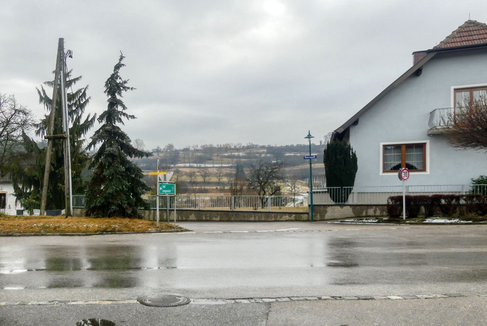
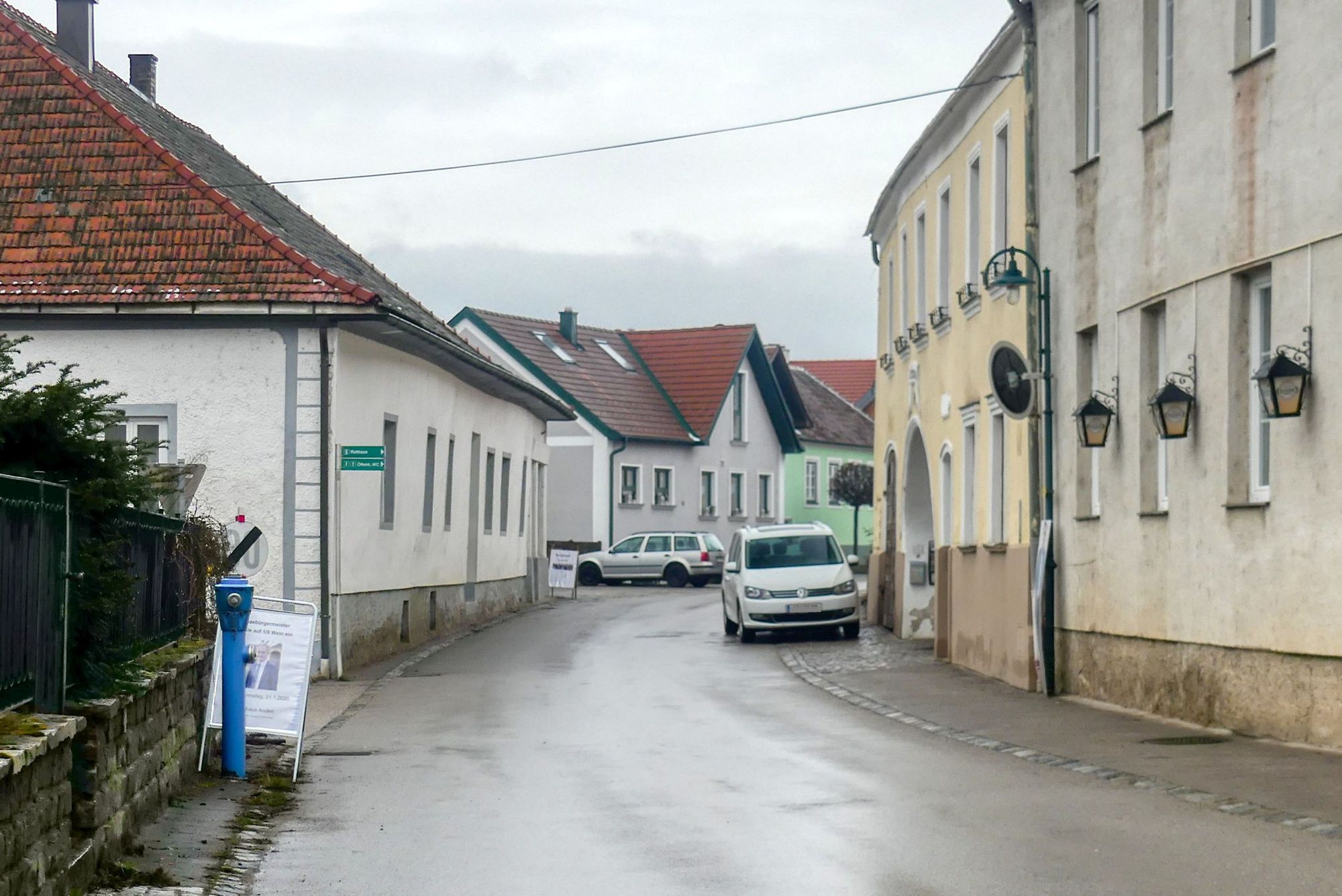
200 meters later you will have to turn left and again 200 meters later you have to turn right (see photo).
After walking straight ahead for 400 meters you will reach the L55 "Gföhler Straße" again and cross this road again.
Then walk straight ahead through the fields.
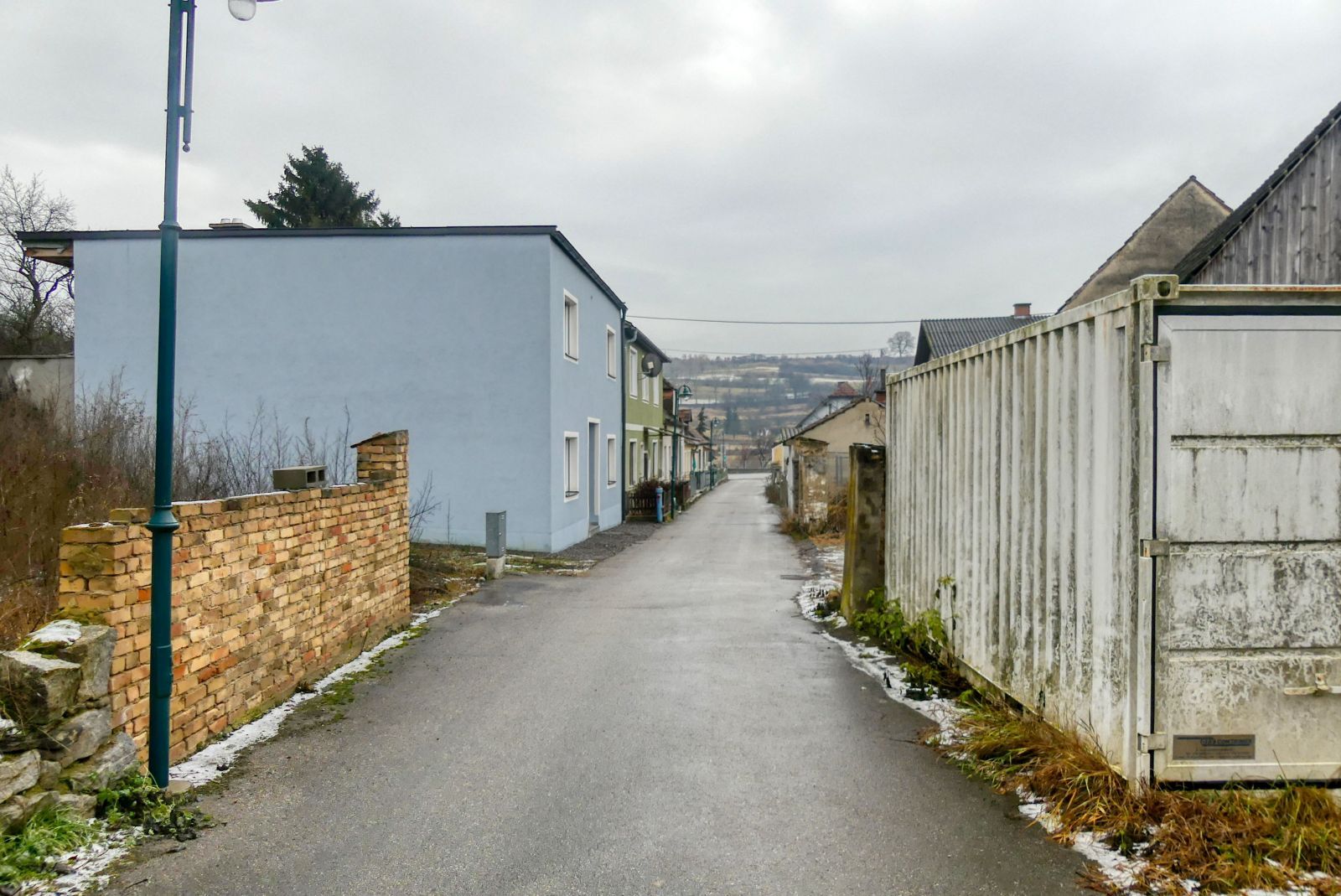
The path through the fields will become broader by the time and finally become a street called "Mühlfeldgasse".
Finally you will come to the "Langenloiser Straße". Turn right into this street and walk in western direction.
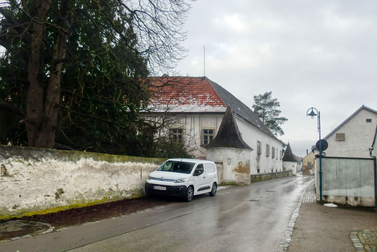
Walk along the old castle of Lengenfeld.
Finally you will come back to the municipal office.
The whole hike has a length of 6.7 kilometers and you will need approximately 1 houre and 45 minutes. GPS data can be downloaded from bergfex.at and you can find a detailled description with more images and a map on my blog schmatz.blog.
It is a quite easy hike that offers different road surfaces. I can also recommend this trail for Nordic Walking!

Comments