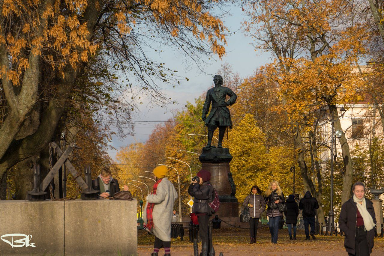
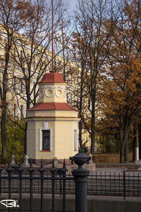
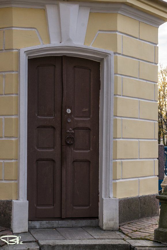
This monument has a height of 7 meters. How did we measure it? Two points were compared, the ground level and the highest point of the monument. And what will happen if we take as a starting point not the ground level in this place, but a zero water level mark? I can assume that the height of the monument will change. I also assume that the monument will become higher.
I don’t know how it is accepted all over the world or in every country, but Russia has its own zero water level mark. And it is located in Kronstadt. Here we will look for her
Этот памятник имеет высоту 7 метров. Как мы это измерили? Сравнили две точки, уровень земли и и самую верхнюю точку памятника. А что будет, если мы возьмём за исходную точку не уровень земли в этом месте, а нулевую отметку уровня воды? Могу предположить, что высота памятника изменится. Так же предположу, что памятник станет выше.
Я не знаю, как принято во всём мире или в каждой стране, но в России есть своя нулевая отметка уровня воды. И находится она именно в Кронштадте. Вот её мы и будем искать
We don’t need a dog to search, but we have to walk along the edge of the former Arsenal Square. Now here is the Petrovsky Park. In the center of the park, we have already seen the monument to Peter 1, cast in 1841 by P.K. Klodt (The model of the monument was purchased in 1839 from Theodore Jacques).
Нам не понадобится собака для поиска, но придётся прогуляться по краю бывшей Арсенальной площади. Теперь здесь находится Петровский парк. В центре парка мы уже видели памятник Петру 1 отлитый в 1841 году П. К. Клодтом (Модель памятника приобретена в 1839 году у Теодора Жака).
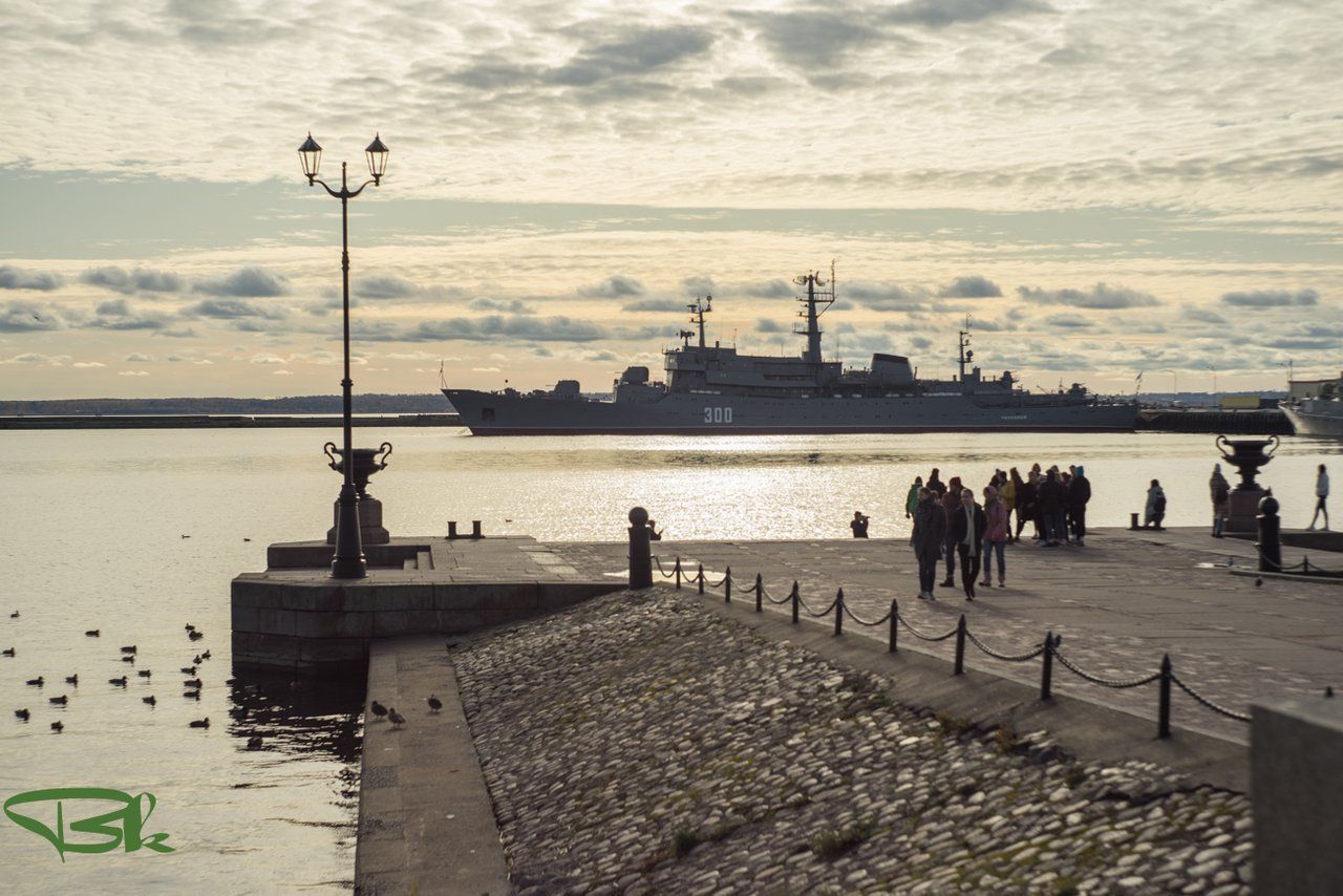
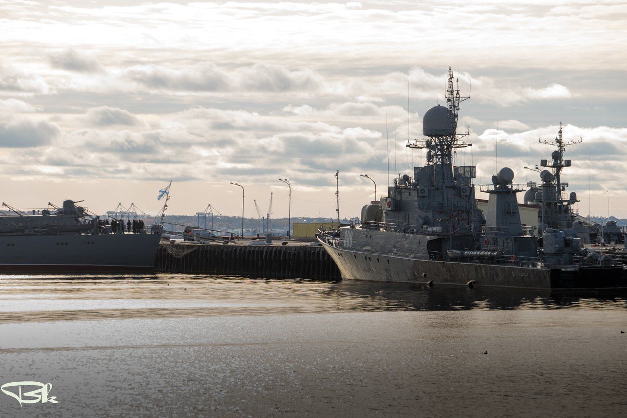
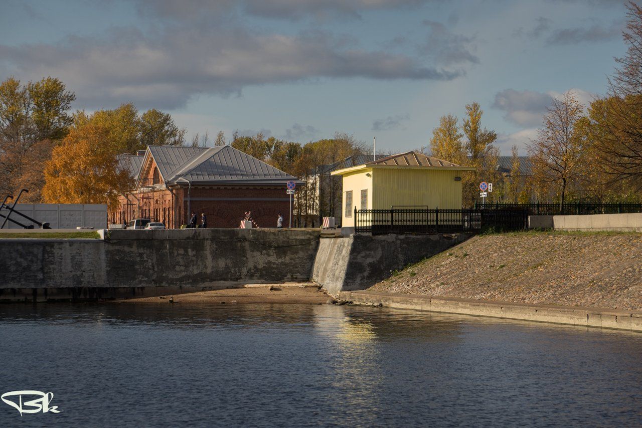
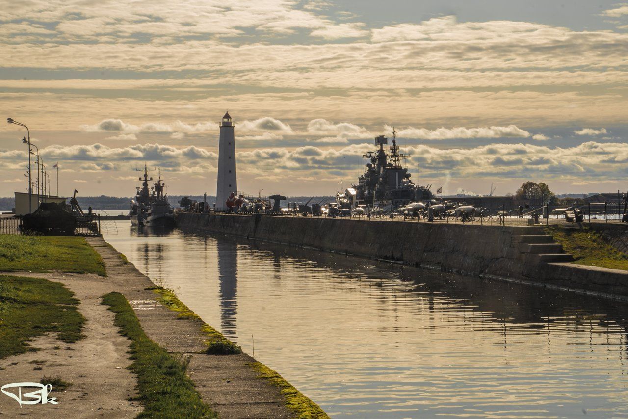
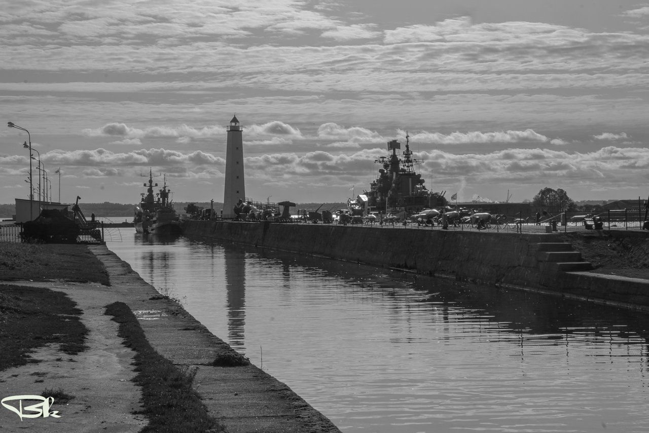
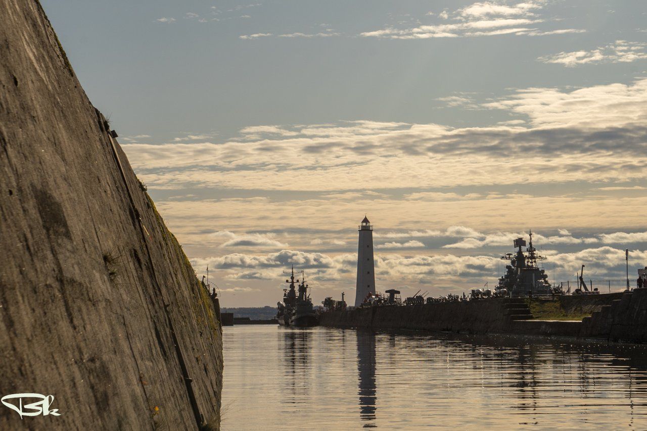
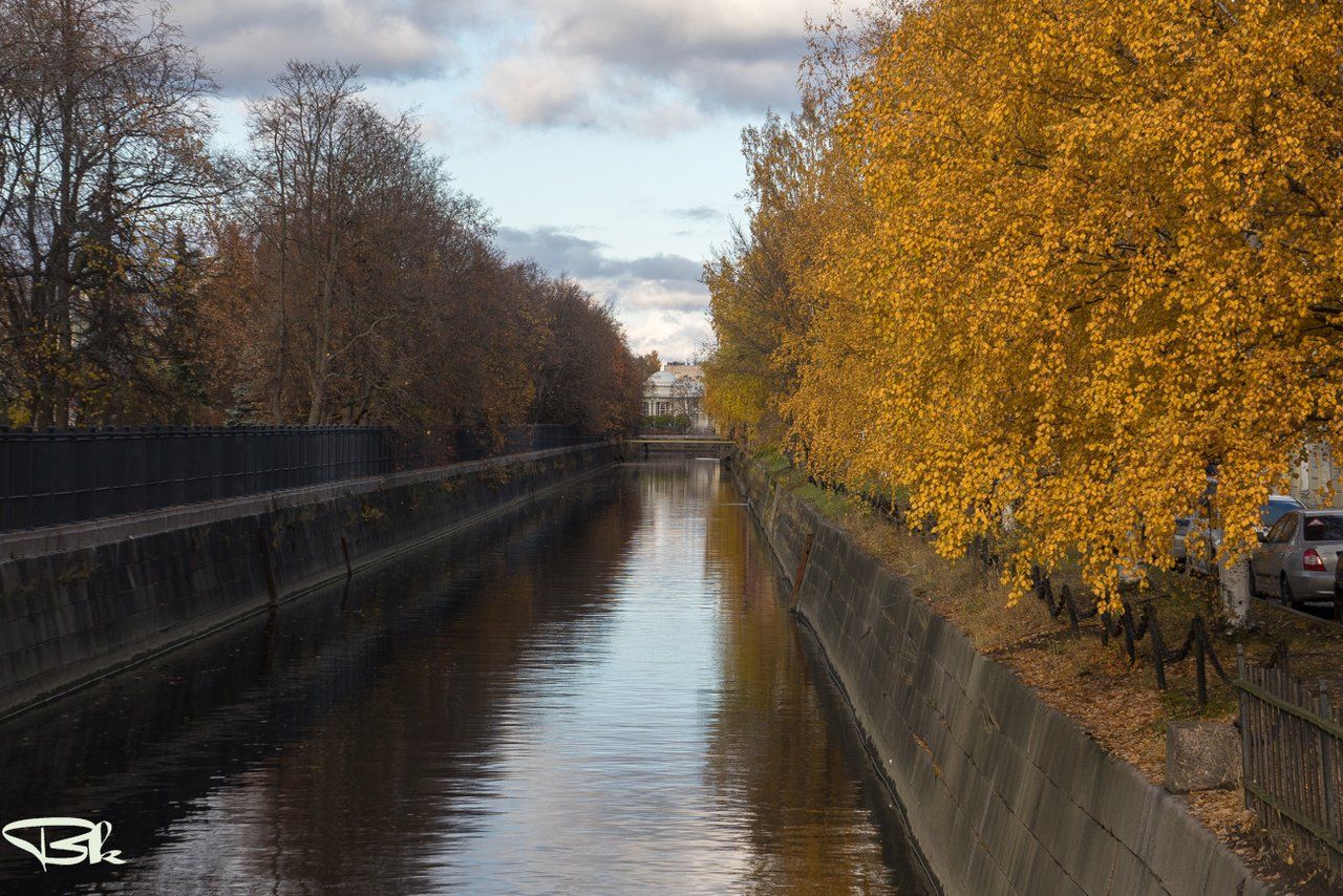
We are moving along the Winter Quay. The sun is still high enough, but located so that you have to shoot in the backlight. Because some frames are very different in color. But the view of the ships against the background of the colorful sky rather wins. The pier has acquired a modern look in 1882. Until this date, all buildings were wooden.
Мы движемся вдоль Зимней пристани. Солнце ещё достаточно высоко, но расположено так, что приходится снимать в контровом свете. Потому некоторые кадры сильно отличаются по цветам. Но вид кораблей на фоне пёстрого неба скорее выигрывает. Современный вид пристань приобрела в 1882 году. До этой даты все постройки были деревянными.
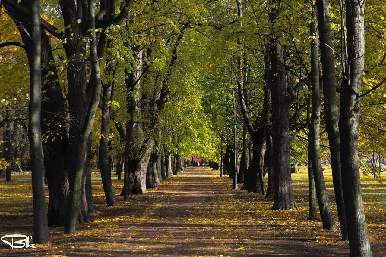
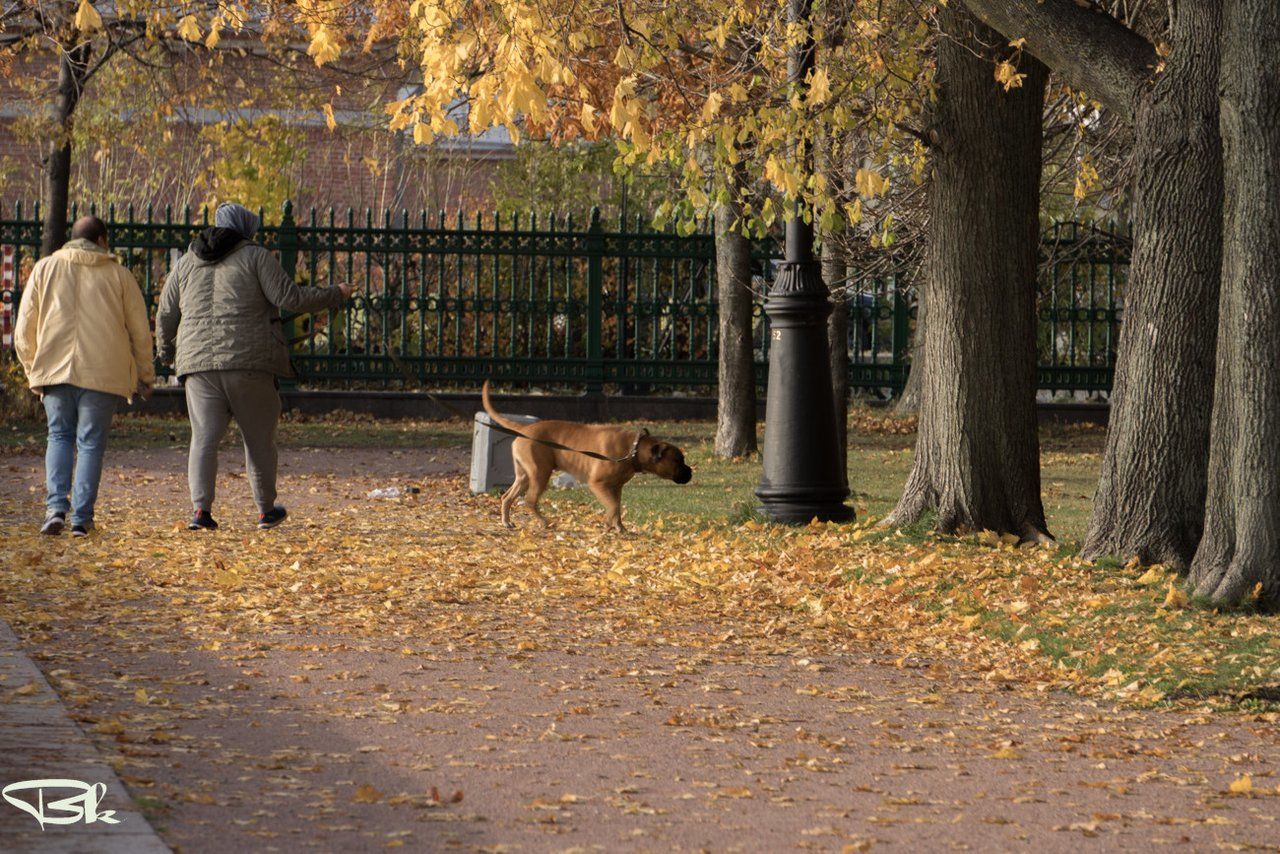
The park is undoubtedly beautiful. But we did not go for a walk in the park. Our goal is to find a footstock and we are going to it. By the way, we were lucky with the weather. Among the rains, this is the only sunny day.
Парк несомненно красив. Но мы не пошли гулять в парк. Наша цель обнаружить футшток и мы идём к нему. Кстати, нам повезло с погодой. Среди дождей это единственный солнечный день.
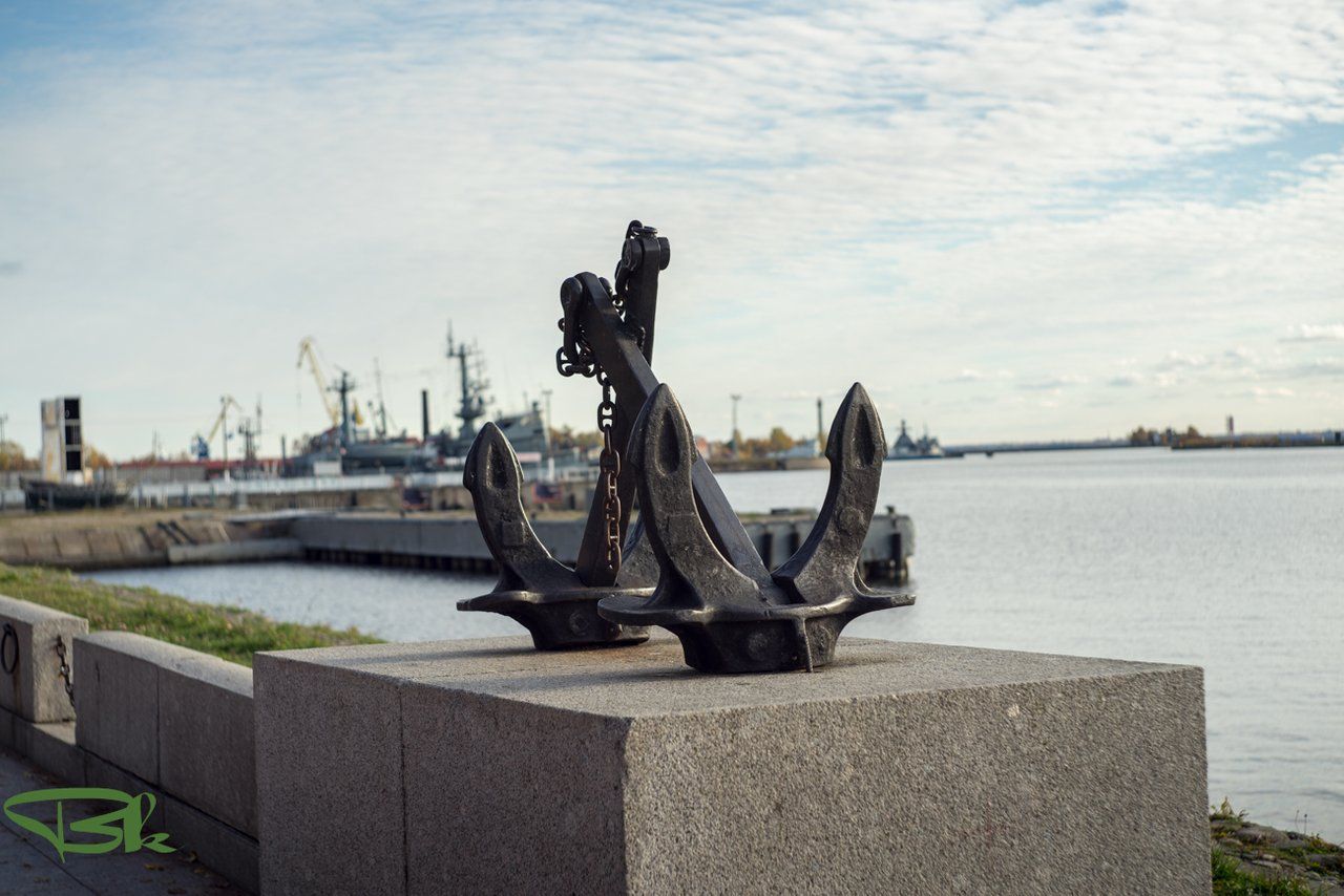
There are many cannons in the city, but they are used for peaceful purposes. A good example for missiles, bombs and other war instruments.
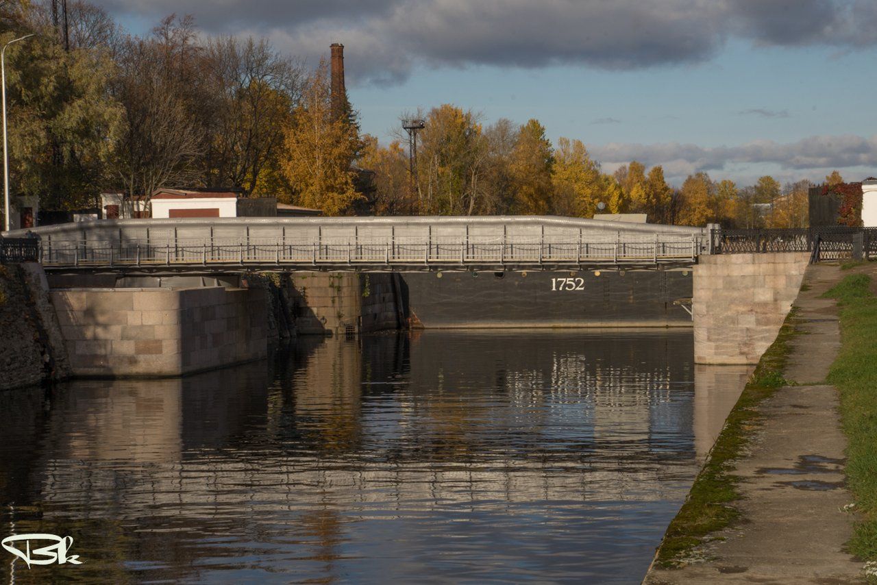
1752 is the year of the construction of the Petrovsky Dry Dock. To get there, I had to hide my wife somewhere. She did not agree. Someday I will come here alone and penetrate wherever possible.
В городе много пушек, но они используются в мирных целях. Хороший пример для ракет, бомб и других инструментов войны.
1752 - это год постройки Петровского сухого дока. Чтобы туда попасть, я должен был спрятать жену где-нибудь. Она не согласилась. Когда-нибудь я приеду сюда один и проникну везде, где можно.
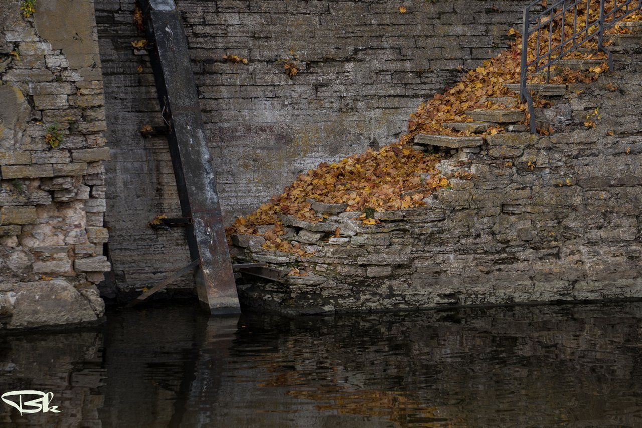
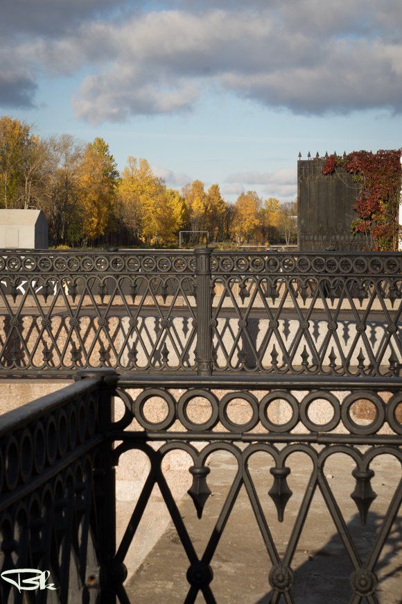
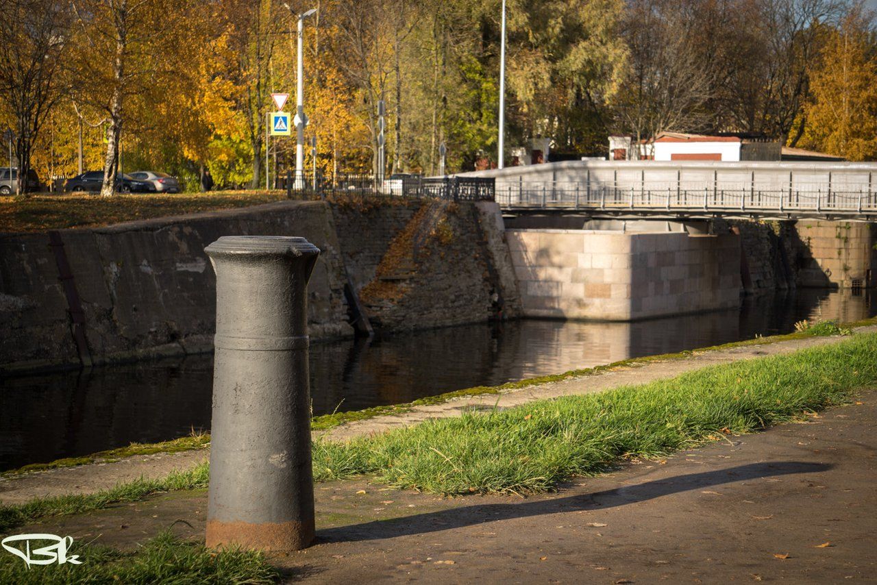
The small town is full of all sorts of interesting views and gizmos. These three frames are made almost without leaving a place. Just a few steps along the stone steps down and up.
Маленький город насыщен всякими интересными видами и штуковинами. Эти три кадра сделаны почти не сходя с места. Просто нескколько шагов по каменным ступеням вниз и вверх.
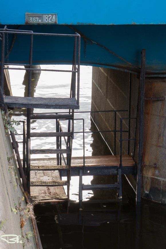
All. Jokes aside. We arrived. This Blue Bridge was once a drawbridge, then a swing bridge, now it’s just reinforced concrete. The Kronstadt footstock is attached to the Blue Bridge foundation, from the zero level of which depths and heights are measured in Russia. And in the first photo you see the watermark during the flood of 1824.
Всё. Шутки в сторону. Мы пришли.Этот Синий мост когда-то был разводным, потом поворотным, сейчас просто железобетонный. К устою Синего моста через Обводный канал и прикреплён Кронштадтский футшток, от нуля уровня которого производятся измерения глубин и высот в России. А на первом фото вы видите отметку уровня воды во время наводнения 1824 года.


Note for the curious. This copper tablet has a point corresponding to the average water level of the Gulf of Finland according to the observations of 1825-1839. Further measurements confirmed the accuracy of its determination. Previously, a man was going down the ladder and taking water level readings four times a day. Now everything is automated. From this copper mark, the heights and depths of everything in Russia are measured.
К сведению для любознательных. Эта медная табличка имеет точку, соответствующую среднему уровню воды Финского залива по наблюдениям 1825—1839 годов. Дальнейшие измерения подтвердили точность её определения. Раньше по трапу спускался человек и четыре раза за сутки снимал показания уровня воды. Сейчас всё автоматизировано. Вот от этой медной метки меряются высоты и глубины всего в России.
Last look from the Blue Bridge to the Bypass Canal. Mission Complete. I think that today will be enough.
Последний взгляд с Синего моста на Обводный канал. Миссия выполнена. Думаю, что на сегодня будет достаточно.
From Russia with Love

Comments