 Tasmania, Australia
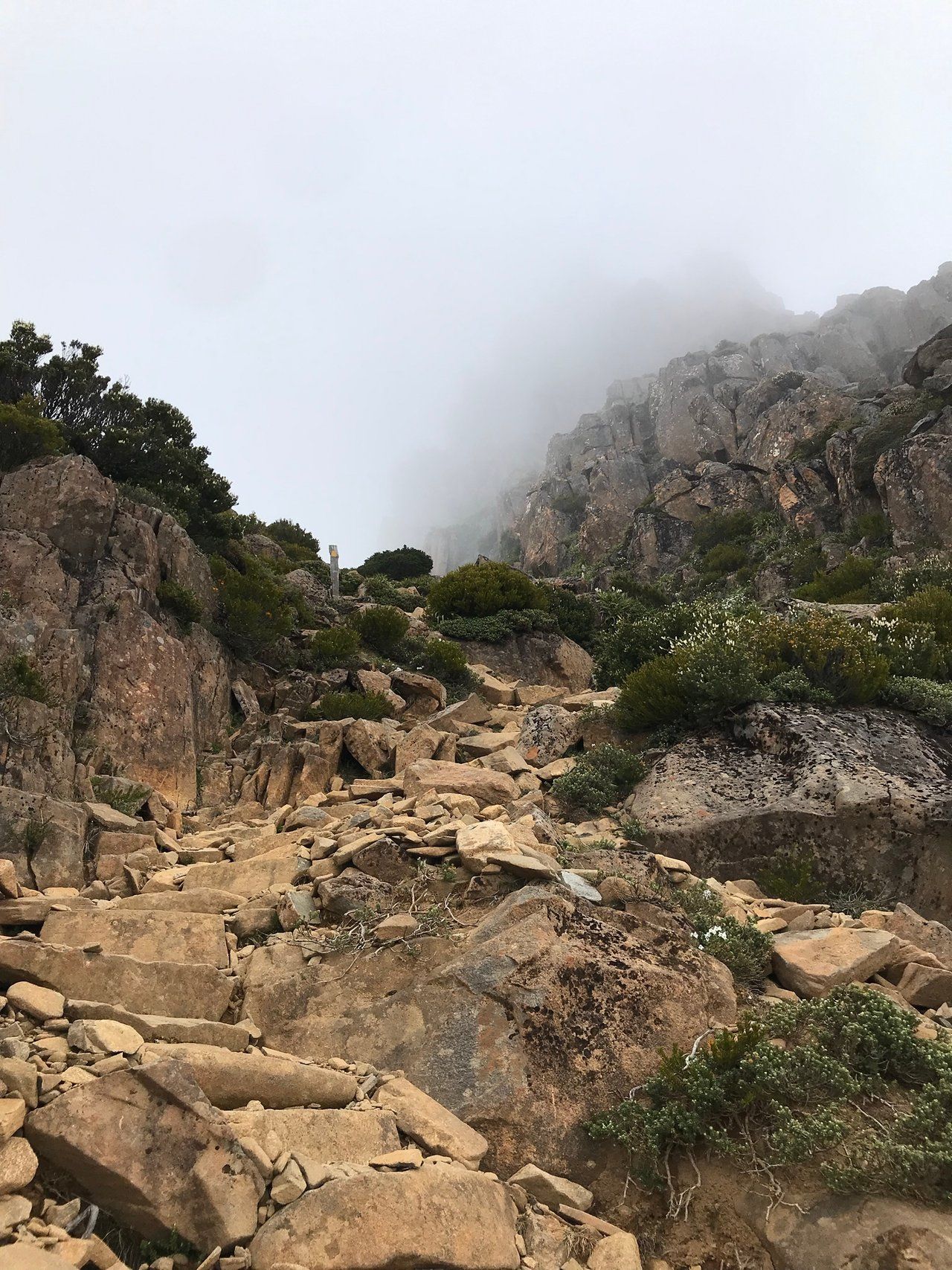
Mount Ossa is 1,617 metres high, the highest point in Tasmania, and it sits somewhere genuinely awkward to reach. There is no road to the trailhead and no day walk from a car park. The summit track leaves the Overland Track at Pelion Gap, roughly halfway along a 65 km, six-day walk through the Cradle Mountain-Lake St Clair National Park.
The climb itself is short. Parks Tasmania's Overland Track walk notes put the side trip at 5.2 km and 4 to 5 hours return from the track junction, and warn that you need those 4 to 5 hours of daylight in hand, plus another hour to walk on to Kia Ora Hut. The hard part is not the mountain. The hard part is that the standard way to stand at the bottom of it involves a $312 booking fee, a departure slot that sells out the morning it goes on sale, and five other days of walking.
There is a second way, and it is not a loophole someone found on a forum. Parks Tasmania publishes it. The Overland Track Special Use Guidelines name the Arm River approach to Pelion, including day walks to Mount Ossa, as an appropriate walk that does not require paying the Overland Track fee. It surfaces in trip reports and forum threads, but not on the booking pages.
What the Mount Ossa side trip actually involves
Pelion Gap is the saddle between Mount Ossa and Mount Pelion East. Parks Tasmania calls it an exposed alpine plateau and advises walkers to take their breaks in the shelter of the forest below it in bad weather. The Ossa track climbs from there.
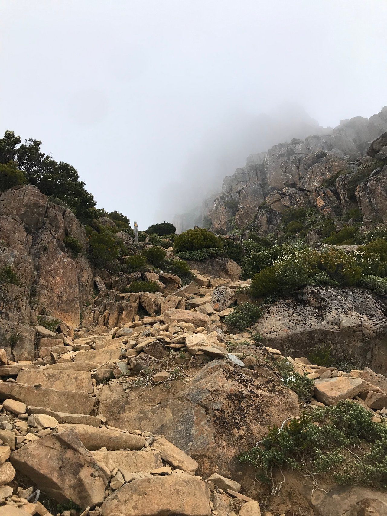
The ground changes character twice on the way up. As @mrhill described after climbing it on day four of a guided Overland walk, the route starts as a goat track near the bottom, turns into boulder scrambling higher up, and then flattens into a track running along the top of the mountain to the summit itself.
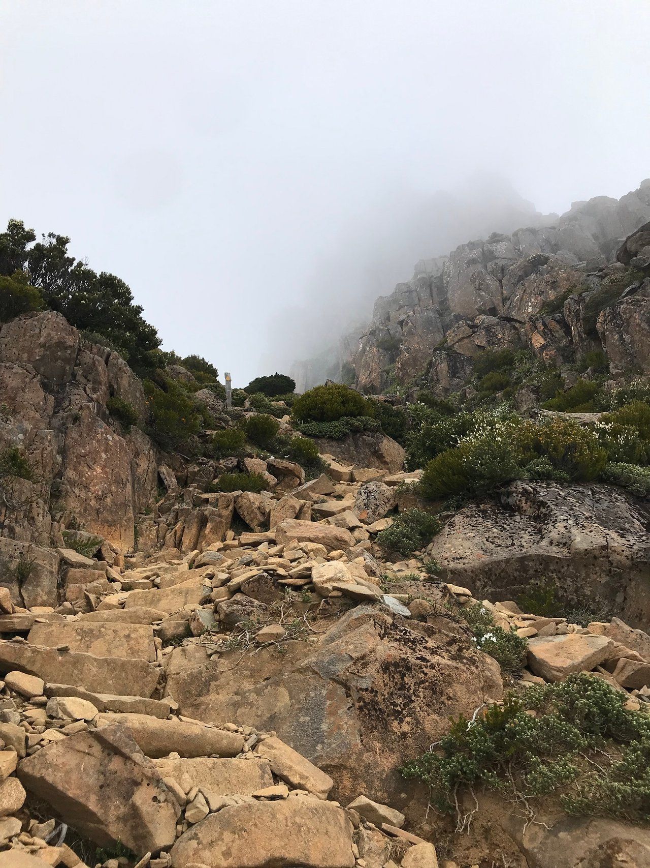
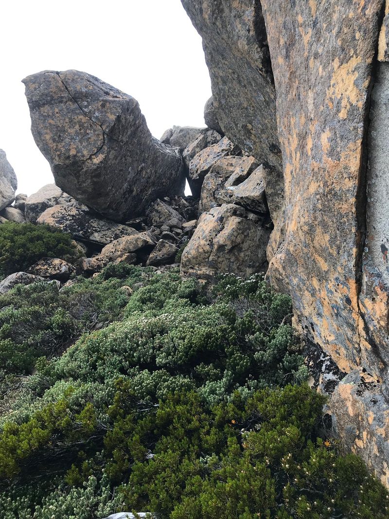
The scrambling is where the useful detail lives. @mrhill had climbed Cradle Mountain a few days earlier on the same walk and rated Ossa's boulders as the trickier of the two, for a specific reason: less of the rock is set into the mountain, so some blocks have to be approached with caution because you cannot tell how stable they are sitting. Parks Tasmania's own note is blunter and applies to both peaks. Do not attempt them under heavy rain or snow, because boulder fields under snow are dangerous.
Then there is the timing, where official advice and real trip reports part company. Parks says 4 to 5 hours return. @mrhill's group was up and back at Pelion Gap in about two, which he puts down to a small group moving quickly. Both numbers are true and only one of them is safe to plan around: the 4 to 5 hour window exists so that you are not still on the boulders at dusk. Budget the official time. If you are faster, you get an easier afternoon.
The two ways to reach Pelion Gap
The first is the Overland Track, and its rules are strict. Between 1 October and 31 May the track runs one direction only, north to south, with a maximum of 34 independent walkers departing on any given date. The pass costs $312 for adults and $272 for children under 18 and concession holders, reviewed annually against CPI, and it covers park entry for the duration of the walk plus the shuttle from the Cradle Mountain Visitor Centre to the start at Ronny Creek. Bookings open at 9:00 am AEST on the first Tuesday in July, there is no waitlist, and Parks itself advises booking on opening day if you have specific dates in mind.
Ossa falls on day four, on the 8.6 km stretch from Pelion Hut to Kia Ora that takes 3 to 4 hours before you add side trips. Six days is the usual pace; Parks notes that walkers who want summits often take seven, spending two nights at a hut to give themselves a clear day.
The second way is the Arm River Track, which reaches Pelion Hut directly without touching the northern half of the Overland Track at all. From Pelion you walk up to Pelion Gap, climb Ossa, and come back the way you came.
Why the Arm River route is allowed, and what it asks of you
Parks Tasmania's Overland Track Special Use Guidelines exist because Tasmanian bushwalkers were using parts of this country long before the booking system was introduced. The document opens by acknowledging that connection, some of it spanning generations, and its stated purpose is to let people walk routes that use only a small part of the Overland Track without paying the booking fee. One of the walks it lists as appropriate, word for word, is "Arm River > Pelion > Arm River (incl day walks to Mt Ossa / Proteus, Pelion East, Pelion West, Oakleigh) return via Arm River."
That is as clear a green light as a park agency gives, and the conditions attached are reasonable ones:
- Do not walk more than one overnight segment of the Overland Track.
- Camp rather than take a hut bed at a hut node, so that fee-paying Overland walkers get first call on the bunks. Hut access in a genuine safety emergency is an accepted priority for everyone.
- Apply leave-no-trace practice.
- As a courtesy, let Parks know your plans in advance. The guidelines then carve out an exception that covers exactly this trip: walks that do not require notifying Parks include "Pelion Hut area stays with walks to the greater Ossa-Proteus area."
Two things to be careful about. The guidelines apply from 1 October to 31 May, and the document says they are reviewed after each summer season, so read the current version rather than trusting a summary, this one included. And fee-free is not pass-free: you still need a valid Tasmanian national parks pass. A Holiday Pass covering all Tasmanian parks for up to two months is $98.35 per vehicle or $49.20 per person on foot; an annual pass is $104.75, worth the arithmetic if Ossa is one stop of several.
Parks does not publish walk notes for Arm River the way it does for every Overland day, so distances quoted for it online vary and none are official. Treat them as approximate and carry the TASMAP 1:100,000 Cradle Mountain-Lake St Clair map, which Parks recommends for this area.
The weather decides, not your fitness
Parks Tasmania grades the Overland Track as a grade 4 walk and does not soften the warning: severe cold, wet and windy conditions can happen at any time of year, including summer, and deaths have occurred in summer when walkers were not properly prepared. Almost half the track sits above 1,000 metres on exposed plateaus. Ossa's summit is 600 metres above that.
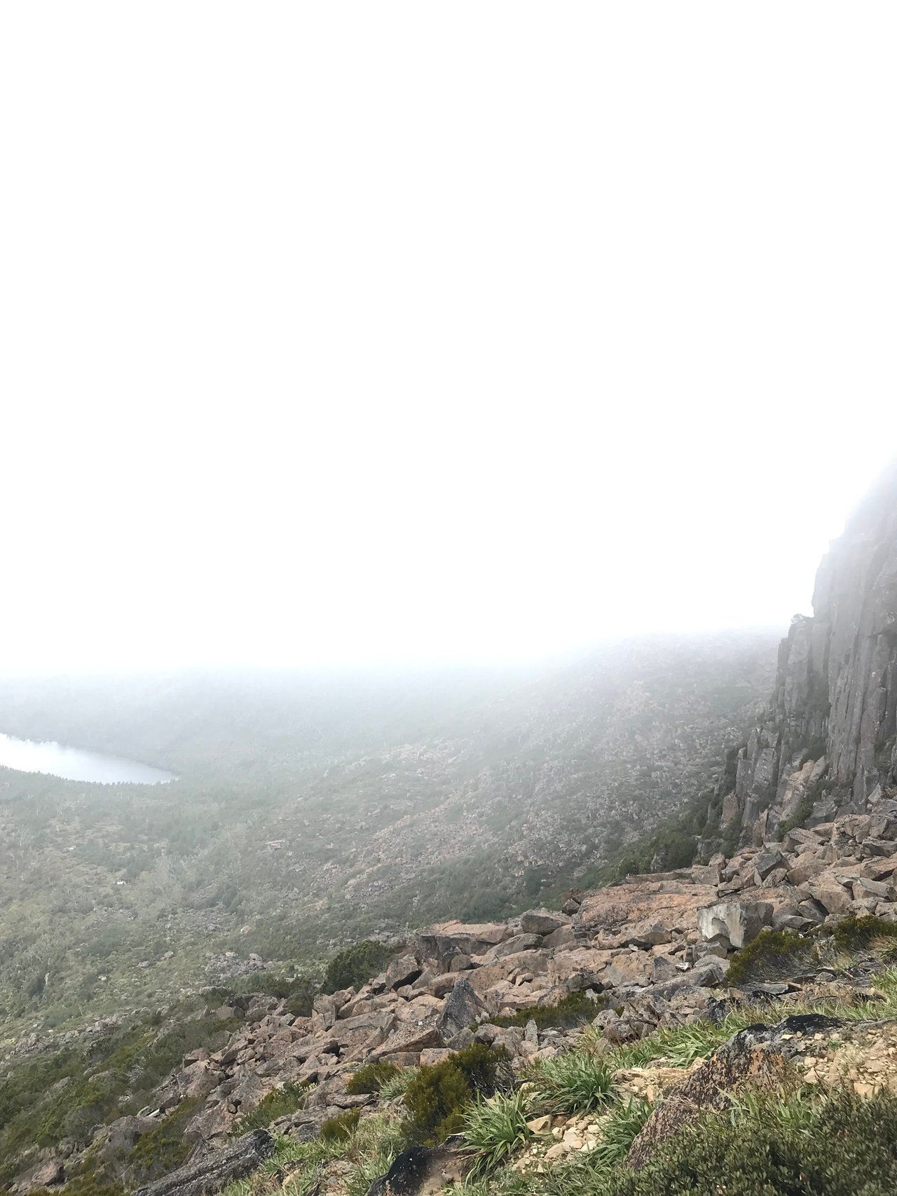
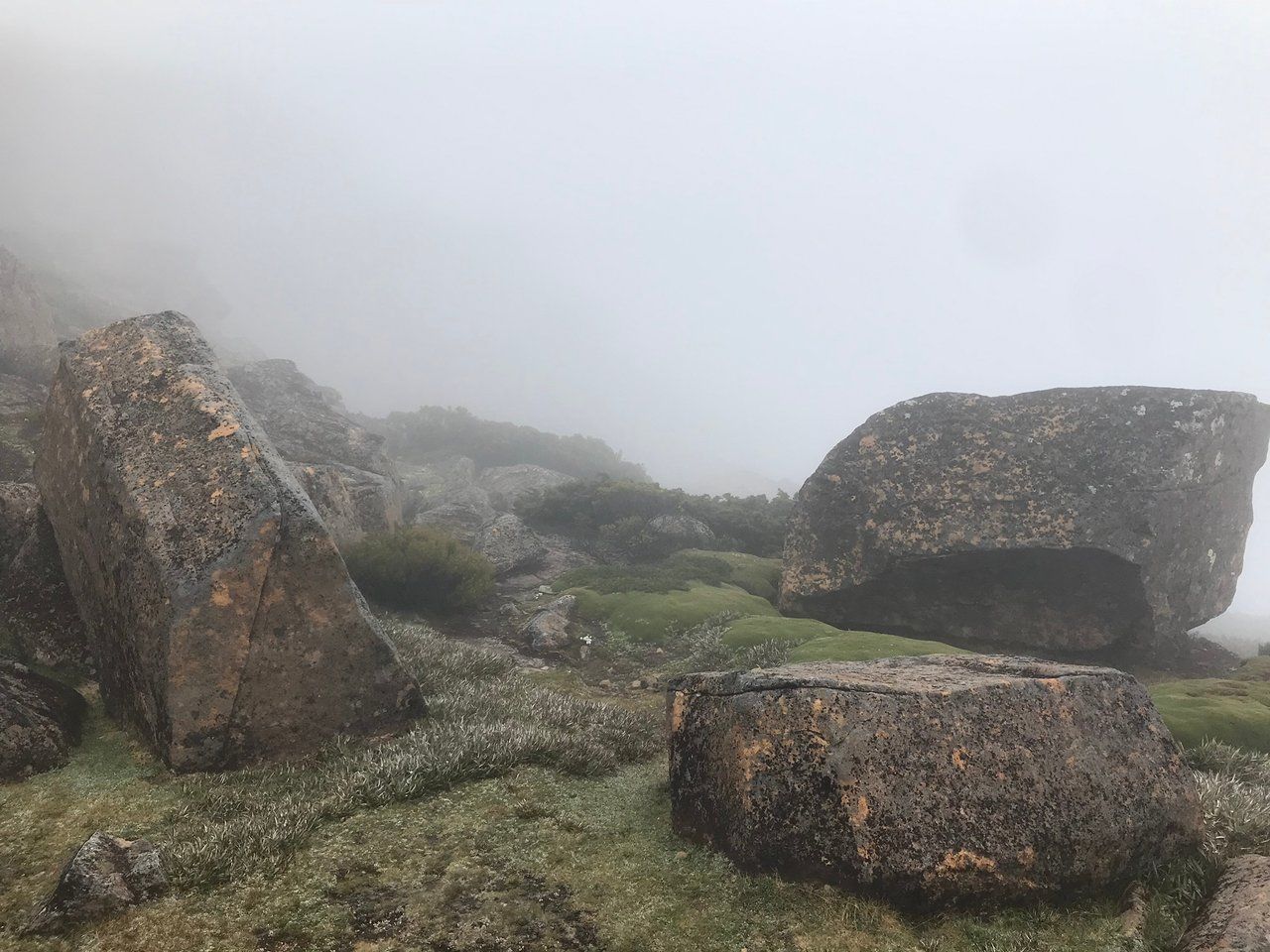
What that means in practice is that the mountain frequently gives you nothing. @mrhill's summit day started foggy with patches of light rain, and when the guides judged the afternoon safe enough to try, half the group declined outright on the grounds that the view would not be worth the effort. Those who went up saw very little from the top, and the cloud only thinned on the descent, which gave brief glimpses back across the Pelion Range.
Snow is not a winter-only problem here. As @paulmp has documented across many trips to Tasmania, the mountains can get snow at any time of year, and on one visit he was the last vehicle in to Cradle Mountain before blizzards closed the roads entirely. That is the northern end of the same national park, on a sealed road with a visitor centre. Ossa is four days' walk deeper in.
When to go
Between 1 October and 31 May you get the booking season, the walker briefings, the shuttle bus and the Special Use Guidelines. Outside it, from 1 June to 23 September, the Overland Track shifts to a registration system with no fee, which sounds appealing until you read what Parks attaches to it. Winter walking should only be attempted by very experienced bushwalkers prepared for blizzards and for trees fallen across the track. Daylight is short, track maintenance is minimal, hut heating is not guaranteed, there are no briefings, and a 3 to 4 season tent is required. You still need a parks pass, and you register at the booth at Ronny Creek.
The honest summary is that winter removes the fee and the crowds and replaces them with a serious alpine undertaking on a mountain whose boulder field Parks explicitly tells you not to climb under snow. @paulmp rates mid-autumn through to the end of winter as his favourite time in Tasmania, and he is right that it is the most photogenic season, with the extra rain and snow feeding the waterfalls. That is an argument for being in Tasmania in June. It is not an argument for being on Ossa in June.
For most visitors the sweet spot is late spring to early autumn, with a spare day built in, so that a cloudy morning at Pelion Gap does not have to become the day you climb anyway.
Is Ossa the summit you actually want?
Height is a poor reason to choose a mountain, and this park has four summit side trips with very different costs. Parks Tasmania's numbers, all return from the track junction:
- Mount Ossa, 1,617 m, 5.2 km, 4 to 5 hours.
- Mount Pelion East, 1,433 m, 2.4 km, 2 hours, from the same junction at Pelion Gap.
- Cradle Mountain, 1,545 m, 2 km, 2 to 3 hours, on day one.
- Barn Bluff, 1,559 m, 7 km, 3 to 4 hours, on day one or two.
Pelion East is the interesting one. It leaves from the same saddle as Ossa, takes less than half the time, and Parks notes that its summit looks out over Mount Ossa and most of the park's highest peaks. If the cloud is sitting low at Pelion Gap, two hours is a much cheaper gamble than five.
Cradle Mountain is the other genuine alternative, and it is the one most people can actually reach. As @mrhill puts it, Cradle can be climbed by day trippers as well as multi-day hikers, unlike Ossa, which sits too far into the track for anyone but the latter. @mrhill climbed it three days before Ossa and rated the scrambling as the safer of the two, since Cradle is a rocky mountain where the holds are part of the mountain rather than piled on it. He also rated the crossing between Cradle's false summit and the real one, which the postcards leave out, as the best part of the climb. Worth knowing: Parks warns that currawongs at the pack-drop junction have worked out how to undo zips.
Practical details
Mount Ossa sits in the Cradle Mountain-Lake St Clair National Park, part of the Tasmanian Wilderness World Heritage Area, in Tasmania's central highlands. The rock is Jurassic dolerite, which is why the summit approach is a boulder field rather than a scree slope.
Transport to Cradle Mountain and away from Lake St Clair is not included in the booking fee. It runs year-round from Hobart, Launceston and Devonport, with more services in summer. The shuttle from the visitor centre to Ronny Creek is included in the Overland pass, and you must complete a walker briefing and be on track by 2:00 pm on your departure date; in April and May the last briefing runs at noon rather than 1:30 pm.
Huts cannot be booked and work first come, first served, so you carry a tent whether or not you intend to use it, and their rainwater needs boiling or treating. There is no phone reception on the track. Personal locator beacons can be hired from Service Tasmania shops in Hobart, Launceston, Burnie and Devonport, and in limited numbers from the visitor centres, where they cannot be reserved.
For more from this part of the world, see our Australia destination page.
FAQ
How long does it take to climb Mount Ossa?
Parks Tasmania puts the side trip at 5.2 km and 4 to 5 hours return from the junction at Pelion Gap, and advises having that much daylight left before you start, plus a further hour to reach Kia Ora Hut afterwards. Faster parties do beat that: @mrhill's small guided group was up and back at Pelion Gap in about two hours. The official figure is still the one to plan your day around.
Do you have to walk the Overland Track to climb Mount Ossa?
No. Parks Tasmania's Overland Track Special Use Guidelines list the Arm River to Pelion return walk, including day walks to Mount Ossa, as an appropriate way to use part of the track without paying the Overland Track booking fee. The conditions are that you walk no more than one overnight segment, camp rather than take hut beds so that fee-paying walkers have priority, and follow leave-no-trace practice. You still need a valid Tasmanian national parks pass.
How high is Mount Ossa?
1,617 metres, or 5,305 feet, which makes it the highest mountain in Tasmania. It is part of the Pelion Range in the Cradle Mountain-Lake St Clair National Park.
Can you climb Mount Ossa in winter?
The Overland Track runs a winter season from 1 June to 23 September with registration instead of a booking fee, but Parks Tasmania states plainly that boulder fields under snow are dangerous and that the Ossa side trip should not be attempted under heavy rain or snow. Winter walking here is for very experienced bushwalkers carrying a 3 to 4 season tent, with short daylight hours and minimal track maintenance.
How much does the Overland Track cost?
$312 for adults and $272 for children under 18 and concession card holders, for departures between 1 October and 31 May. It covers park entry for the walk and the shuttle to the trailhead, but not transport to or from the two ends, or the ferry across Lake St Clair. Fees are reviewed annually in line with CPI.
