 Gandaki Province, Nepal
Hello travelers,
If you are reading this, then I survived Thorong La. Today I will be sharing some experience from my trek to Highest lake in the world "Tilicho Lake" and Widest pass "Thorong La pass" . In the previous post, I have shared a video on 3speak of the trek. Also, I have mentioned major places on timestamp on this post which you can follow on the link I have mention at end of blog.
My journey started from Besisahar. At first, the Himalayas didn't look so much intimidating. As I pass down the green valleys and reached Chame Mananag by Jeep, roads were cutting the hills, there were small villages and even the noise of the waterfalls was very companion. Along our route, Marsyangdi River was following us. Every kilometer of the trek from chame changed the landscape. Simply on a paper, our plan was :
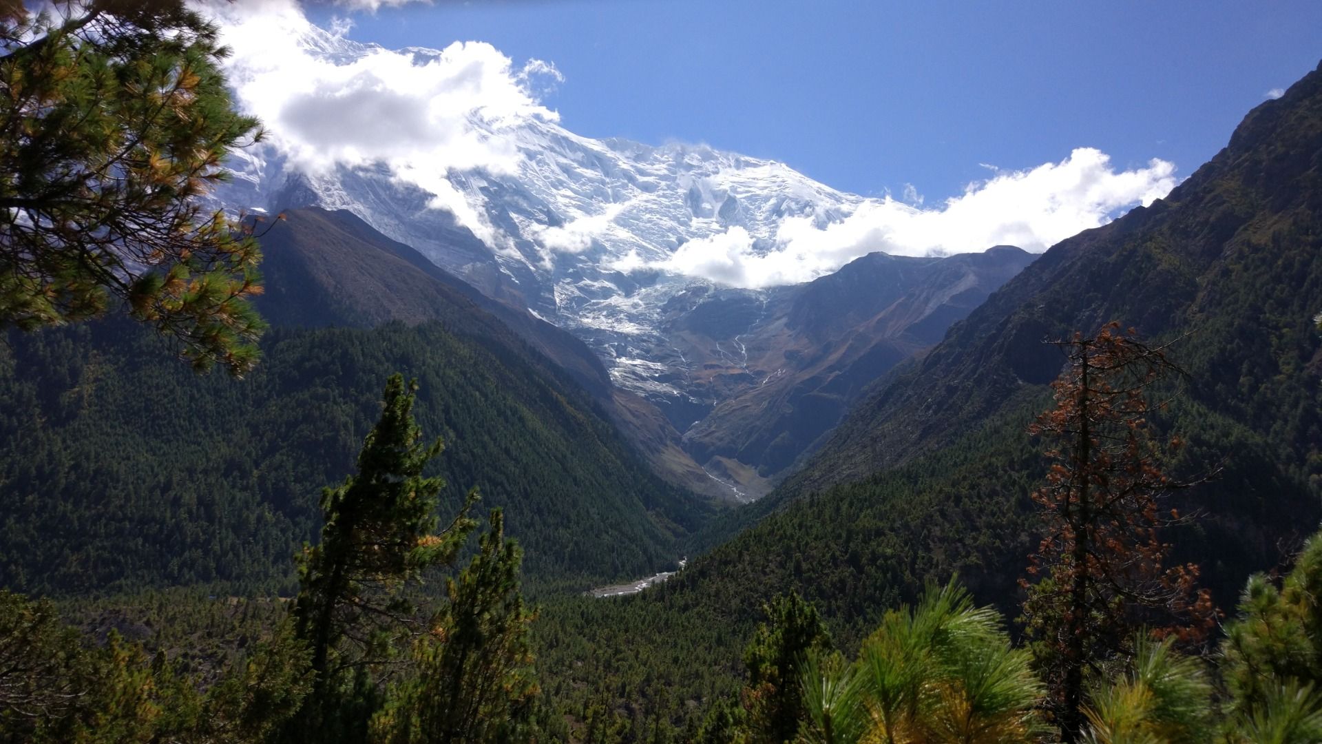
All the green hills was slowly turning to the cliffs and the dense forest was becoming thinner which was scattered on the hilly slopes. Coming to Annapurna range, all the familiar sounds of village life and birds began to fade away. Environment suddenly felt different where familiar grey gradually surrendered to shades of grey, brown and white.

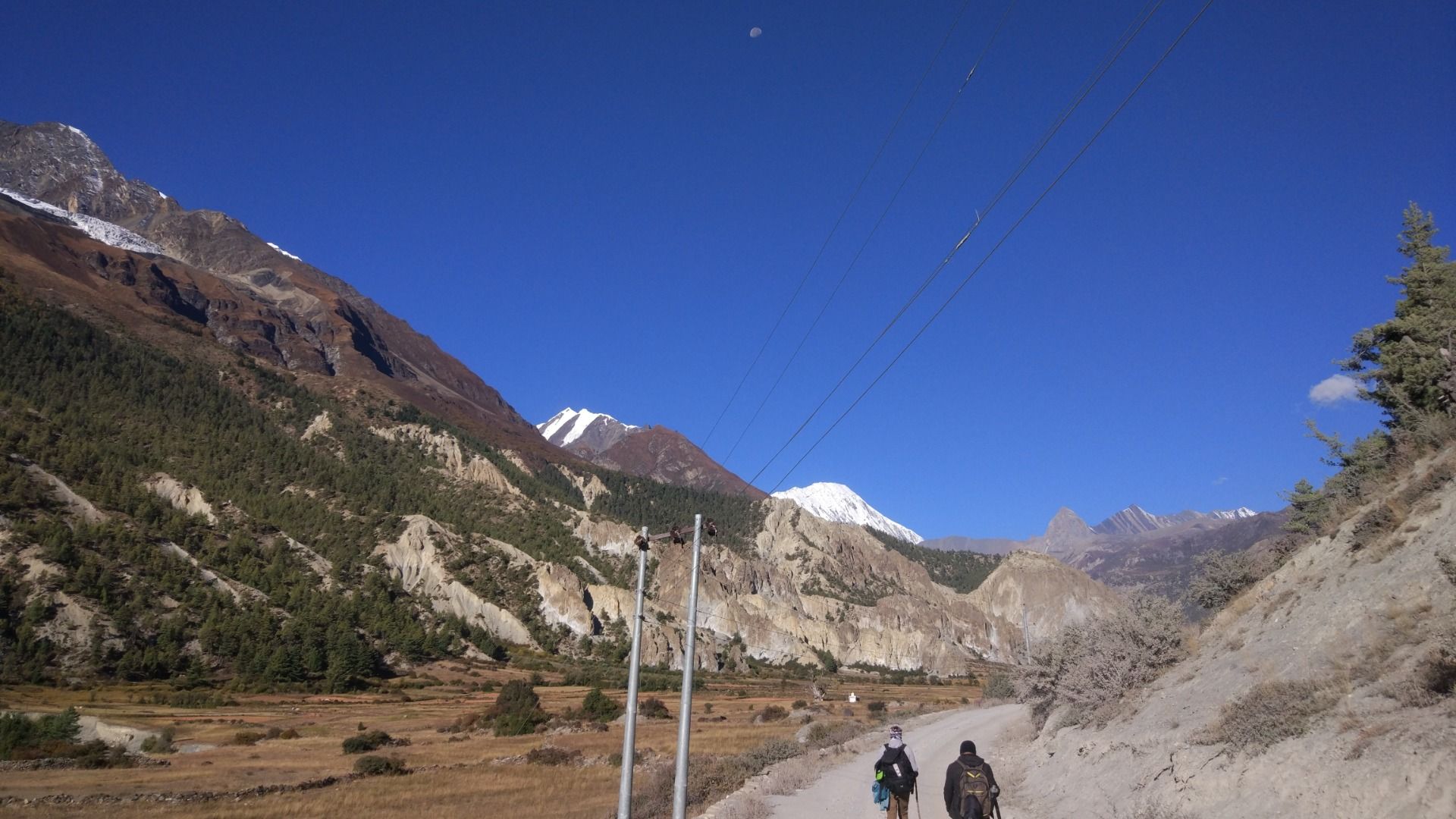
Altitude began to increase almost suddenly. Snow covered peaks began to surround the valley. There was constant question in my mind and also every trekker ask :
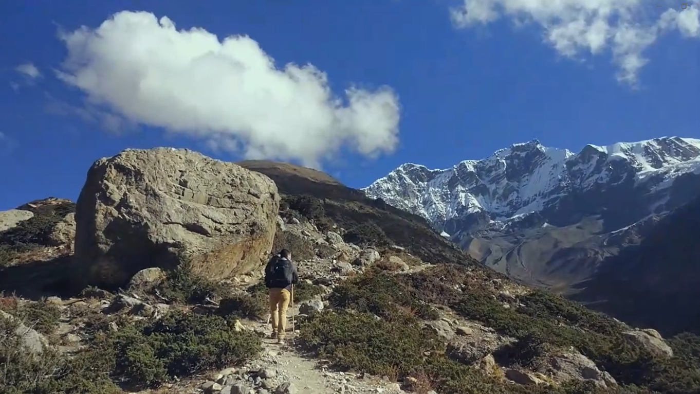
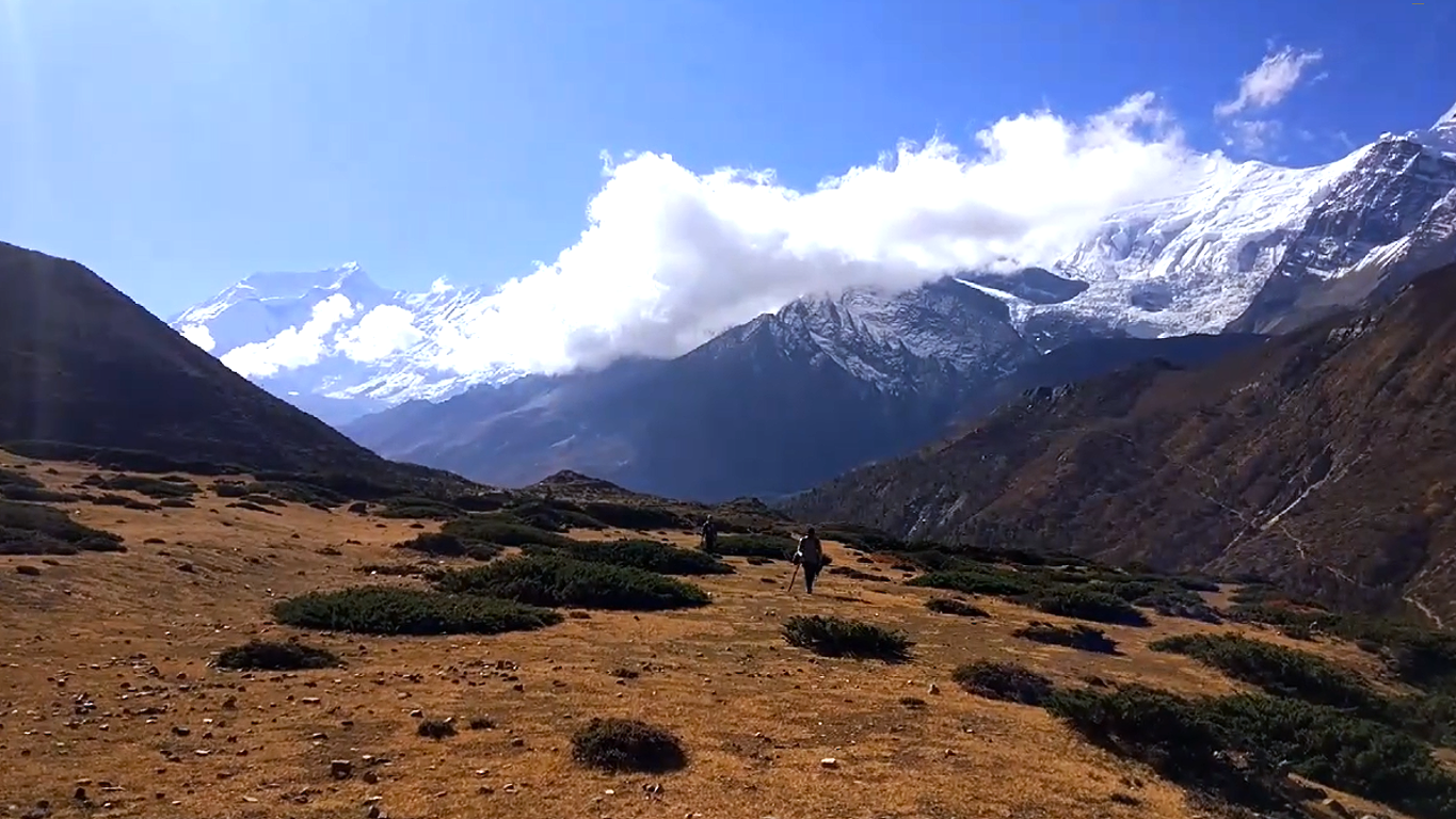
The trail was much tougher and dramatic. One thing to keep in mind while trekking in Himalayas is not to walk. So we slowed down and it was an acclimatization day for us. We explored the community there for a while. Are we smart enough ?
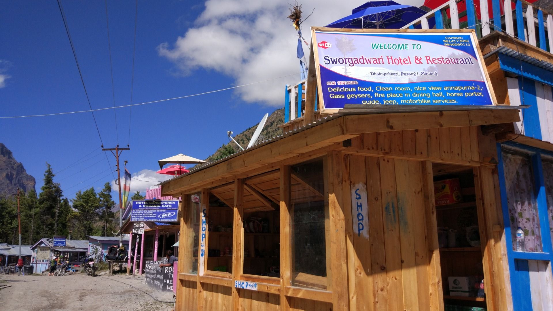
We had a breakfast where a local bakery shop was functioning there.
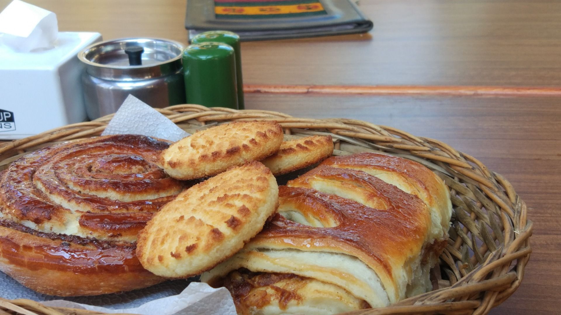
We headed to Khangsar where the roads splitted to two different direction. Tilicho Lake and Yak Kharka. Basically, Yak kharka route led to Thorong La Pass but our aim was to reach Tilicho lake and then Thorong La Pass.
![Signals on the trek route [Timestamp : 9:17]](https://img.truvvle.com/?src=aHR0cHM6Ly9pbWcudHJhdmVsZmVlZC5pby9leWVndXklMkYyMDI2LTA5LTI3LTA3LTEwLTIxLTYwMy02LWpwZw&width=2000)
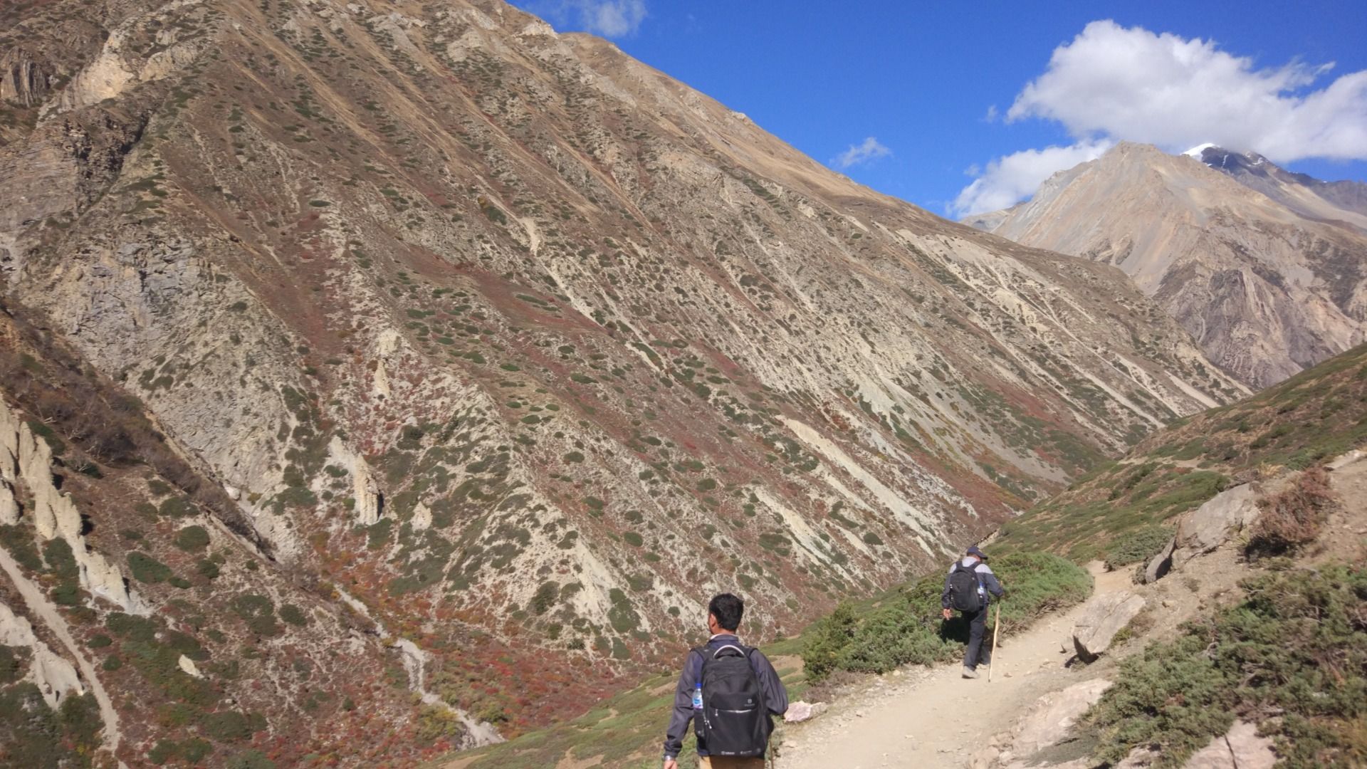
Eventually the temperature was dropping suddenly. Trails was much more dangerous. There were landslide prone zone. Our destination for today was to Tilicho Base camp. We had to acclimatize and slowed down for the lake as there were no shelter, food and weather would be devastating after 12:00 PM.

![landslide area [Timestamp : 9:50]](https://img.truvvle.com/?src=aHR0cHM6Ly9pbWcudHJhdmVsZmVlZC5pby9leWVndXklMkYyMDI2LTA5LTI3LTA3LTE2LTM5LTg0MC1pbWdfMjAxNzEwMTBfMTY0MzQ3LWpwZw&width=2000)
Every trail became more rougher and more dramatic.
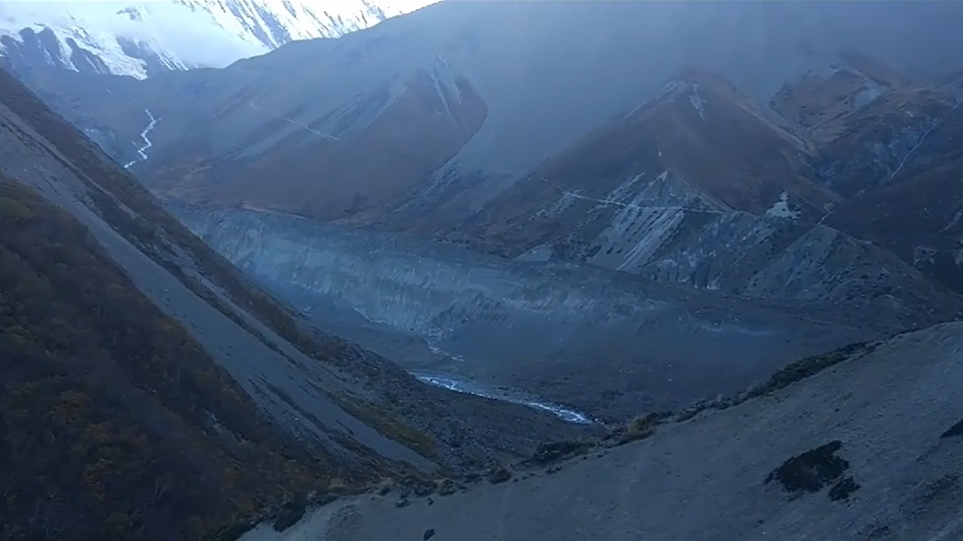
Very early morning, we started our climb. Every step became harder. It steep was just like the human nose (Steep). After hours of walking, the lake appeared.
![tILICHO lAKE [highest lake in world]](https://img.truvvle.com/?src=aHR0cHM6Ly9pbWcudHJhdmVsZmVlZC5pby9leWVndXklMkYyMDI2LTA5LTI3LTA3LTIzLTAwLTA2OS1pbWdfMjAxNzEwMTFfMDc0NTM5LWpwZw&width=2000)
Located at 4919 meter, Tilicho lake felt rewarding than just a destination. For a few minutes, everyone was silent like nobody is talking to anyone. All stood simply there. There was only a tea house where a cup of tea cost 5$. With tears in my eyes, it felt hard to knowing you have to leave it and join the circuit.
![Sometimes photo dont need a caption [Timestamp 11:40]](https://img.truvvle.com/?src=aHR0cHM6Ly9pbWcudHJhdmVsZmVlZC5pby9leWVndXklMkYyMDI2LTA5LTI3LTA3LTI4LTI0LTMzOC1pbWdfMjAxNzEwMTFfMDcyNDA3LWpwZw&width=2000)
Trek was far from over. We returned back to annapurna circuit. Our plan final destination was Thorong La pass. We had to reach at 5416 meter which was much highest point of our journey. The closer we got, the bigger mountaines we could visualize.
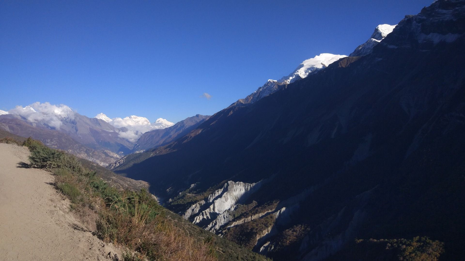
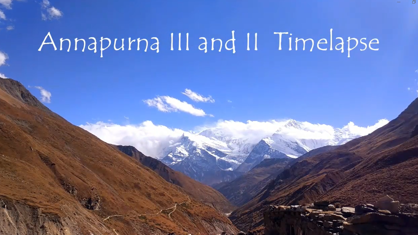
There were two base camp ; Thorong High camp at 4880 meter while Lower Phedi Camp at 4540 meter. We had to stop at Thorong Phedi which is also called foot of the pass.
Early morning at 2:30 AM we started our climb. Headlamps moved slowly through the darkness and one after another we climbed the mountain. We reached High camp and had a tea and rest for 30 minutes. Slowly the sunrise appeared. Mountains appeared and was glowing like a Gold.
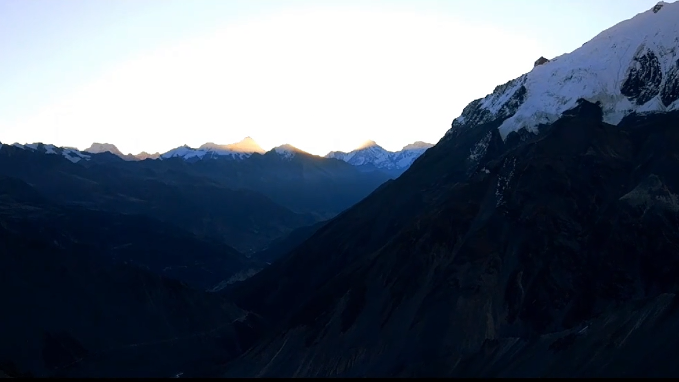
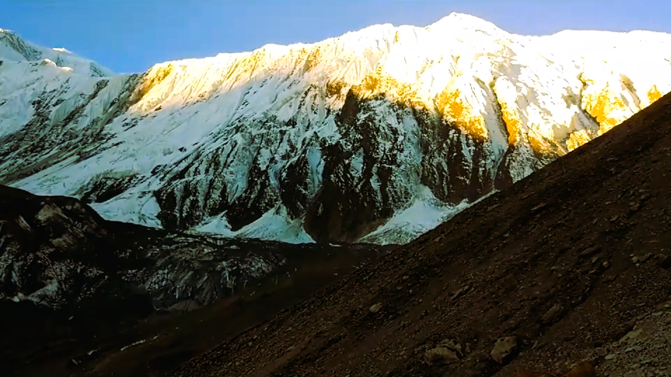
There were no shortcuts. Just one foot one after another. Even the simple things were becoming difficult. All the bottles of water had turned into ice.
Walking with heavier bags which felt ligheter previously
Breathing on low O2 (oxygen)
Thinking
Every step made Thorong La Pass Summit more closer. Eventually there were signs of summit.
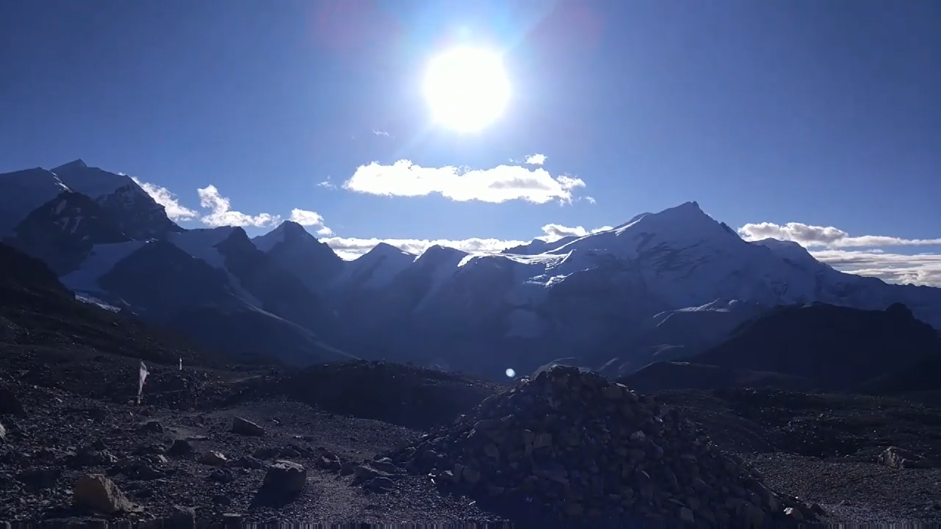
![Signs of summit [timelapse timestamp :23:38]](https://img.truvvle.com/?src=aHR0cHM6Ly9pbWcudHJhdmVsZmVlZC5pby9leWVndXklMkYyMDI2LTA5LTI3LTA4LTMzLTMzLTkwOC1waWN0dXJlMy1wbmc&width=2000)
Still hard to breath, we made it. For a moment, all the exhaustion, tired legs disspeared. Wind was cold. Mountains were stretched at every corners and directions.
![5415 meter. One pass. thousand of steps.[timestamp ;24:00]](https://img.truvvle.com/?src=aHR0cHM6Ly9pbWcudHJhdmVsZmVlZC5pby9leWVndXklMkYyMDI2LTA5LTI3LTA4LTQxLTE4LTAyNy1pbWdfMTYzNS1qcGc&width=2000)
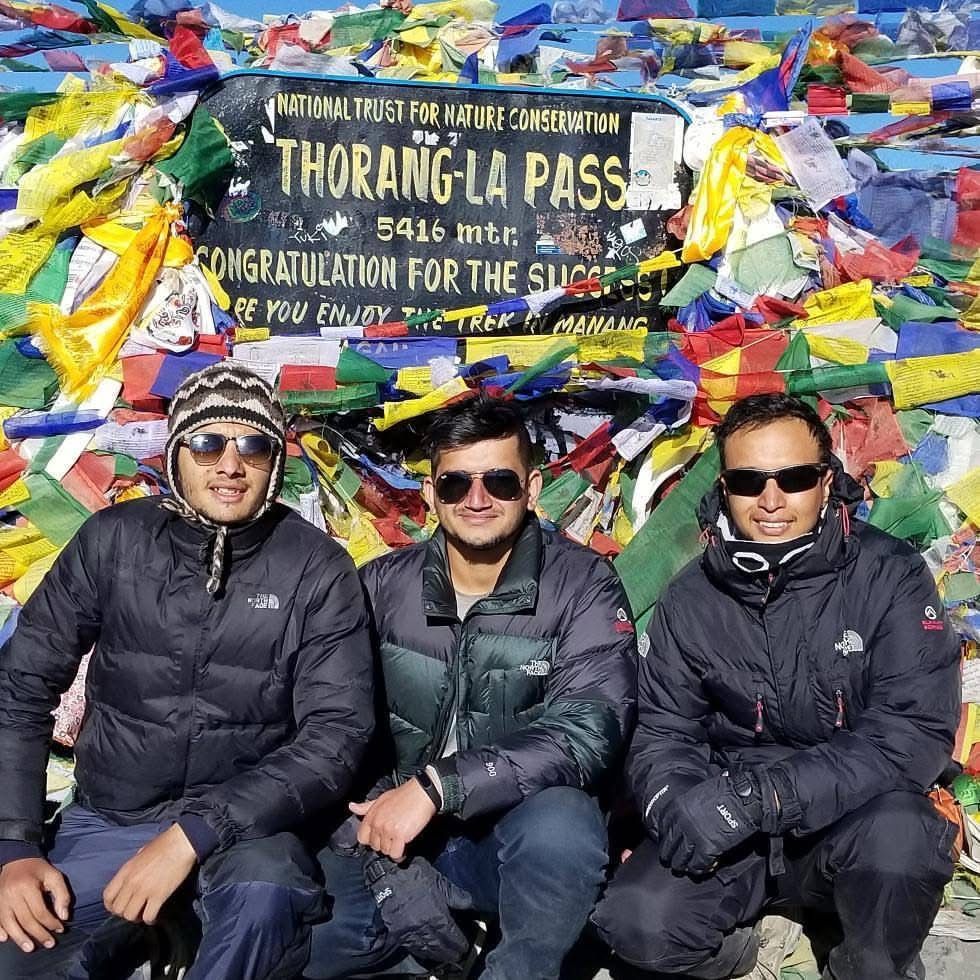
For me, these photograph cost me days of walking, sore muscle, endless questionnaires, cold nights, endless stairs, altitude headaches and yes a several moments of regret.
Thank you everyone for a look in my blog
Link to my 3speak trek video to look for timestamp :
https://3speak.tv/watch?v=eyeguy/world-highest-lake-with-wid-20