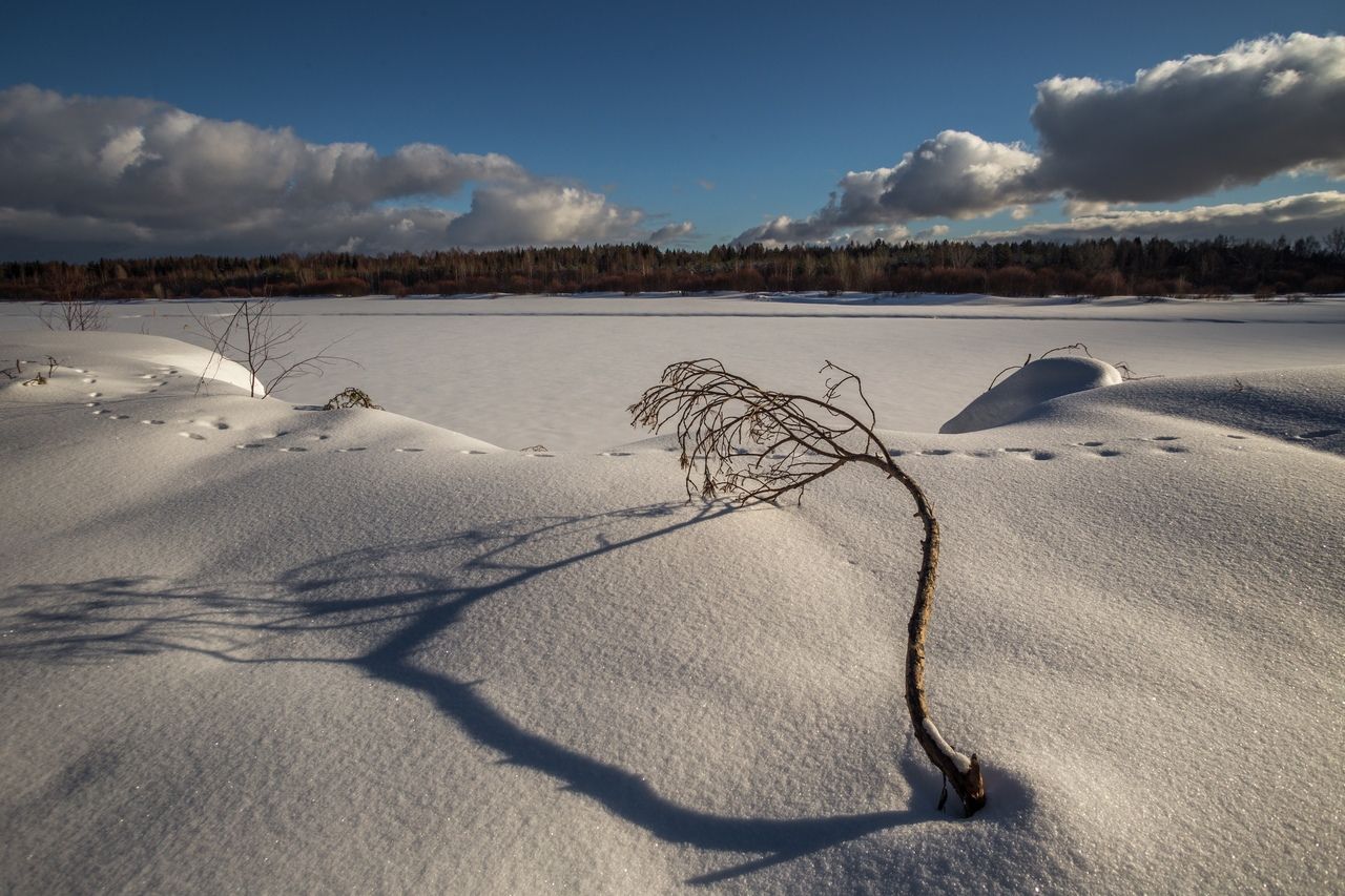
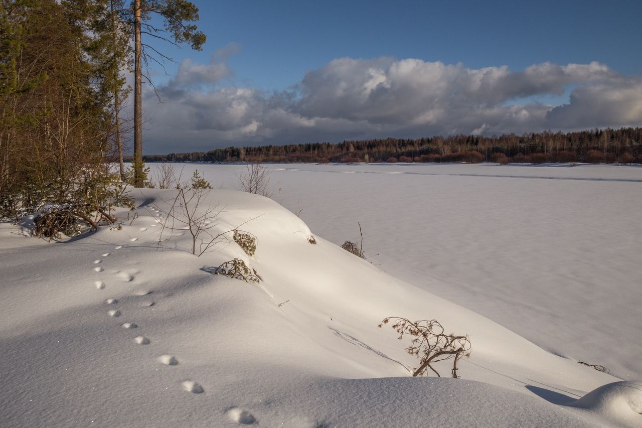
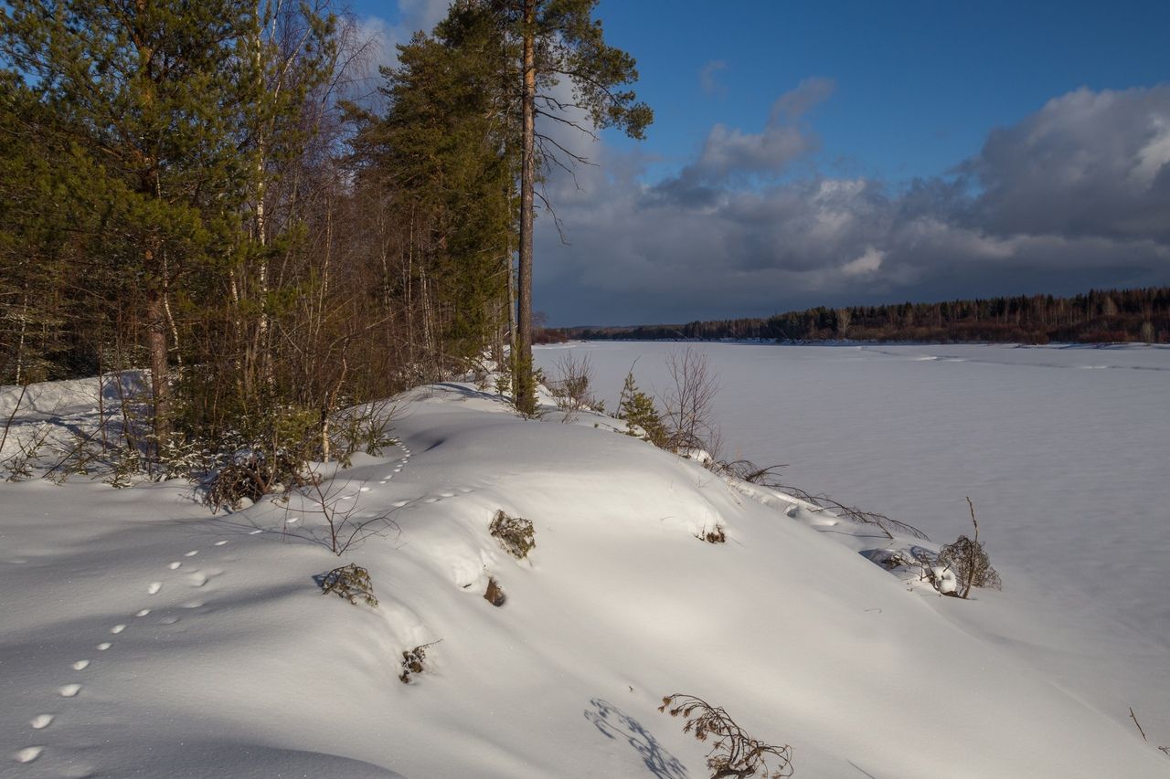
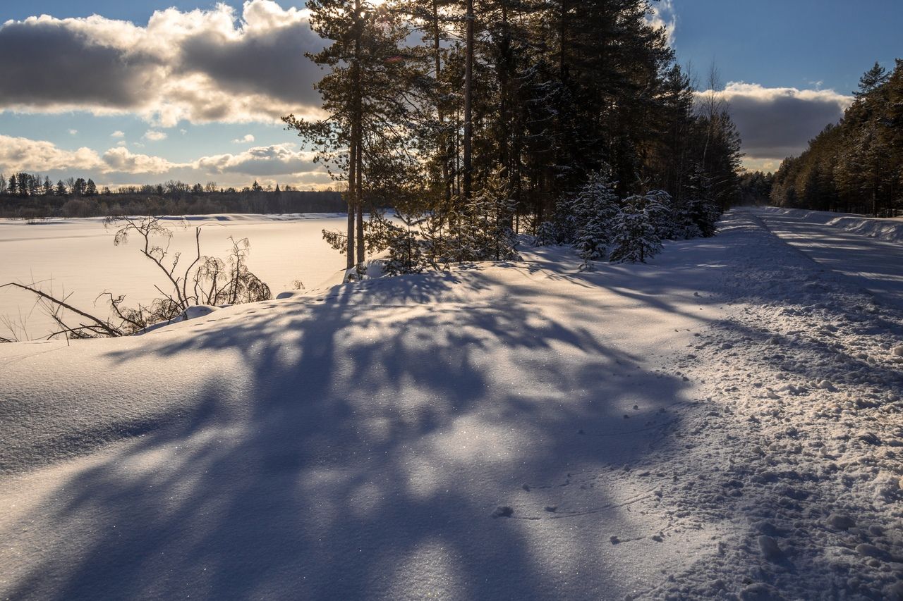
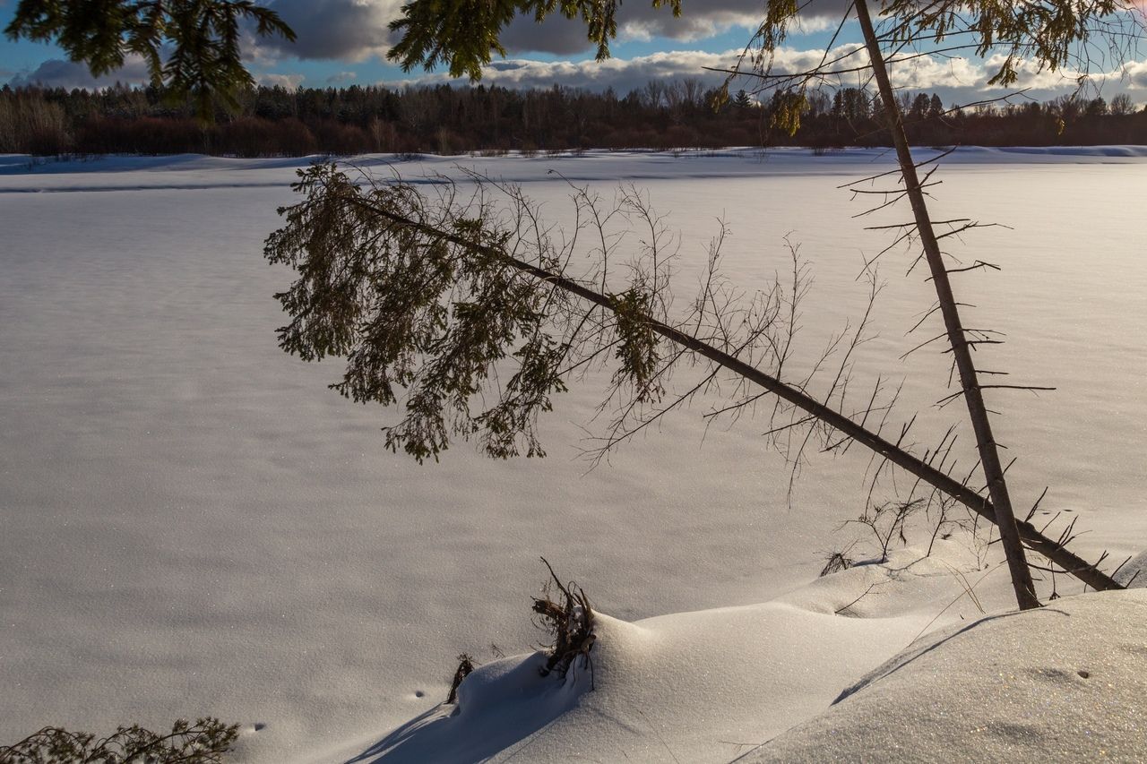
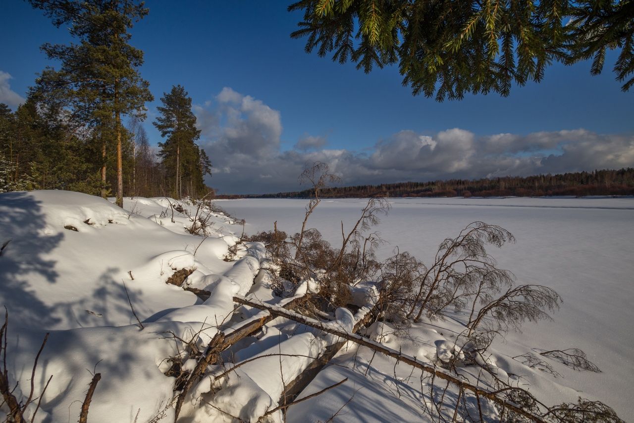
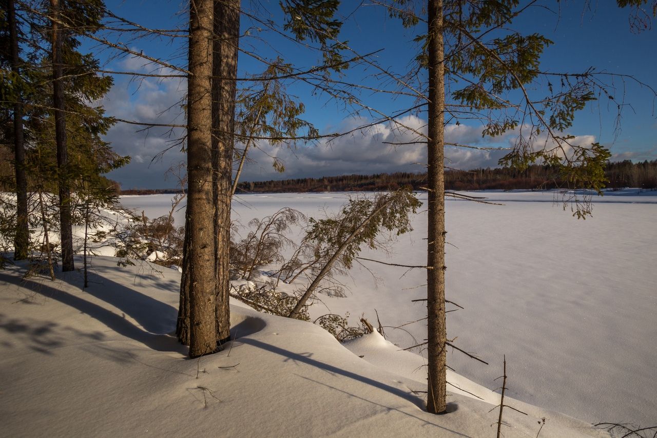
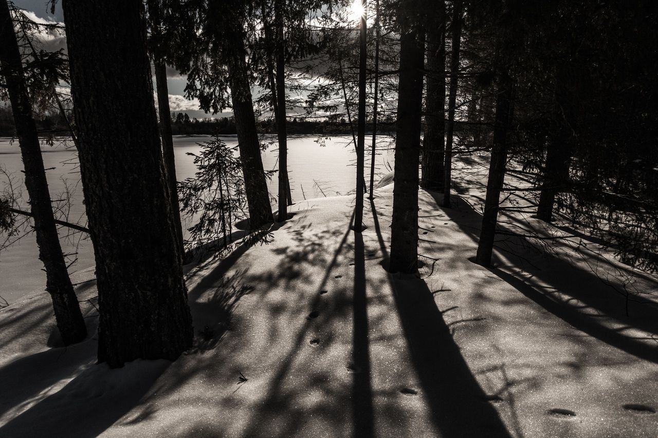
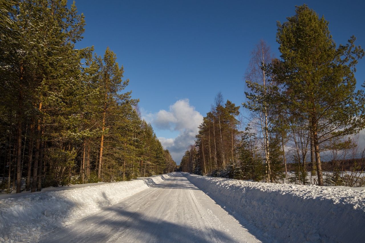
The first way to the village Tomashevo we went through Ust-Alekseevo, and decided to return back the other way. After 15 km an ice crossing over the river Luza was waiting for us.
The river here is quite narrow.
Luza is a river in the Kirov region, the Republic of Komi and the Vologda region, the right tributary of the South River (Northern Dvina basin), the largest tributary of this river.
The length of the river is 574 km, the basin area is 18 300 km². Average water discharge at the mouth is 135 m³/s.The source of Luza in Oparinsky district of the Kirov region near the border with the Republic of Komi, near the village of Vazyug. The source is located among the hills of the Northern Hills, on the global watershed of the Northern Dvina and the Volga, near the headwaters of the Kuzug River. In the upper reaches, the Louza flows to the northeast, flows into the Priluzsky region of the Komi Republic, then turns to the north and then to the west, maintaining the general direction to the west up to the mouth. On the middle course it returns to the Kirov region, crosses the Luzsky district from east to west, and in the lower stream it flows into the Vologda region. It falls into the South, 22 km south-east of Veliky Ustyug. On the river - the dam of two small hydropower plants. The course is very winding, the course is fast, and the rapids are exposed in low water. In the lower stream forms numerous old ladies and islands. The width of the river in the lower reaches is about 160 meters, the current velocity is 0.4 m/s

Comments