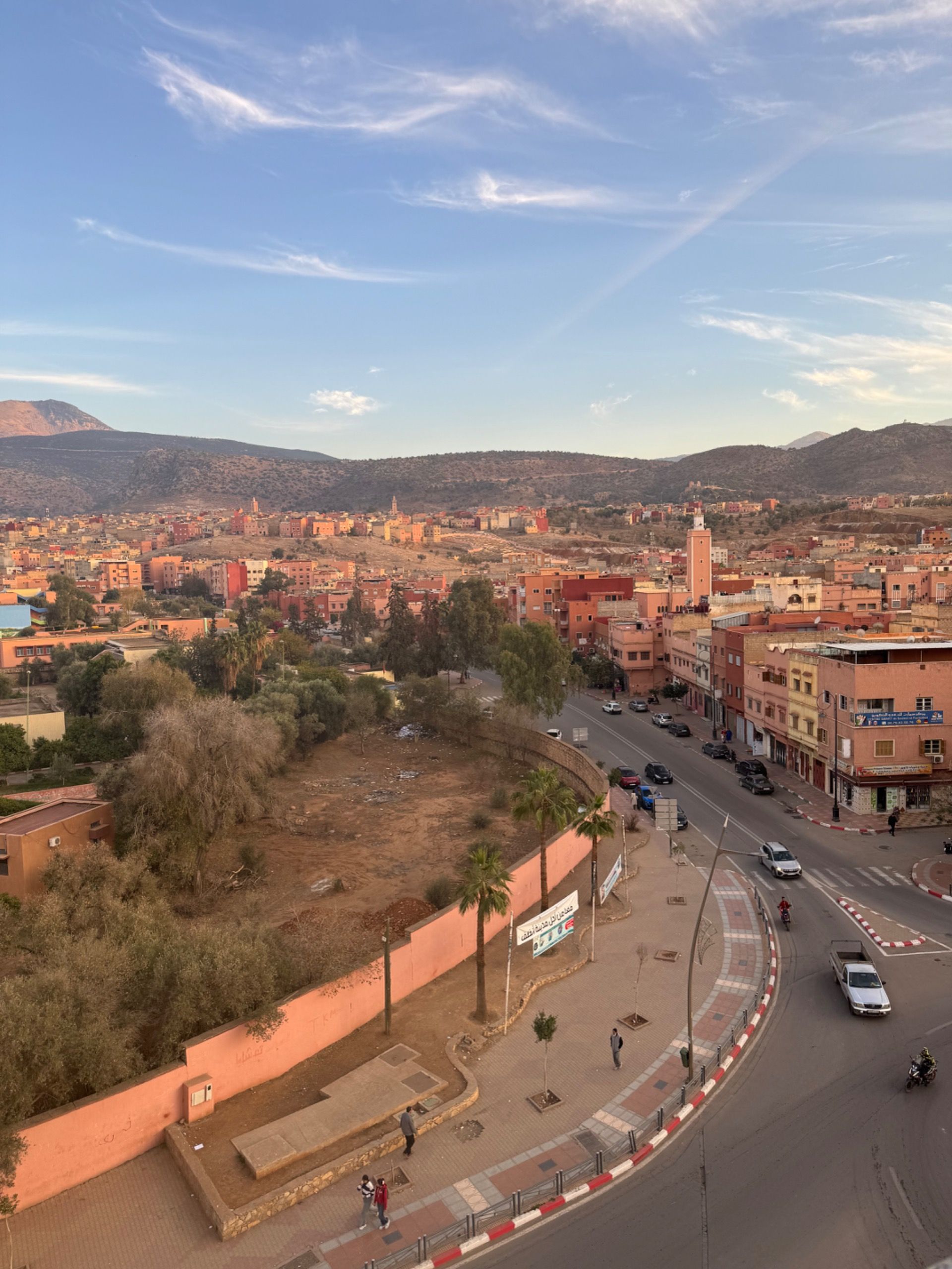
Next stop: Béni Mellal. Time to get out of the mountains! The main route down is about 160km which means a long day. (Sunrise is 8:30am, sunset is 6:30pm, and we really shouldn’t ride when it’s dark.)
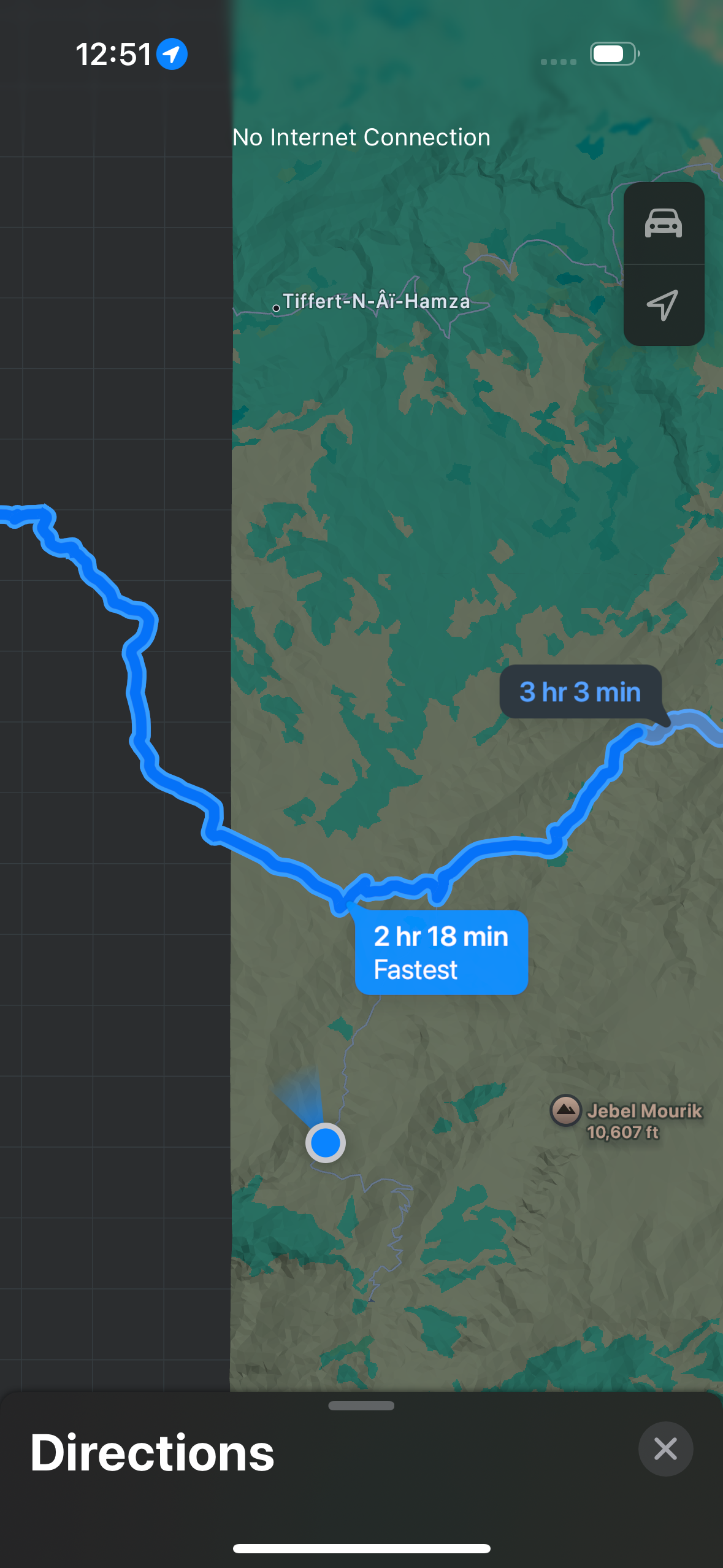
On my National Geographic map there was a dashed line (described as a “track” on the map legend) that would cut about 40km from our journey. Google Maps didn’t show it as an option for a car. Apple Maps did. The turn for the track was about 20km from our start.
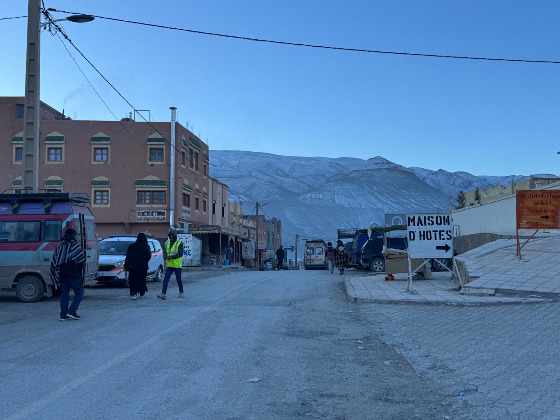
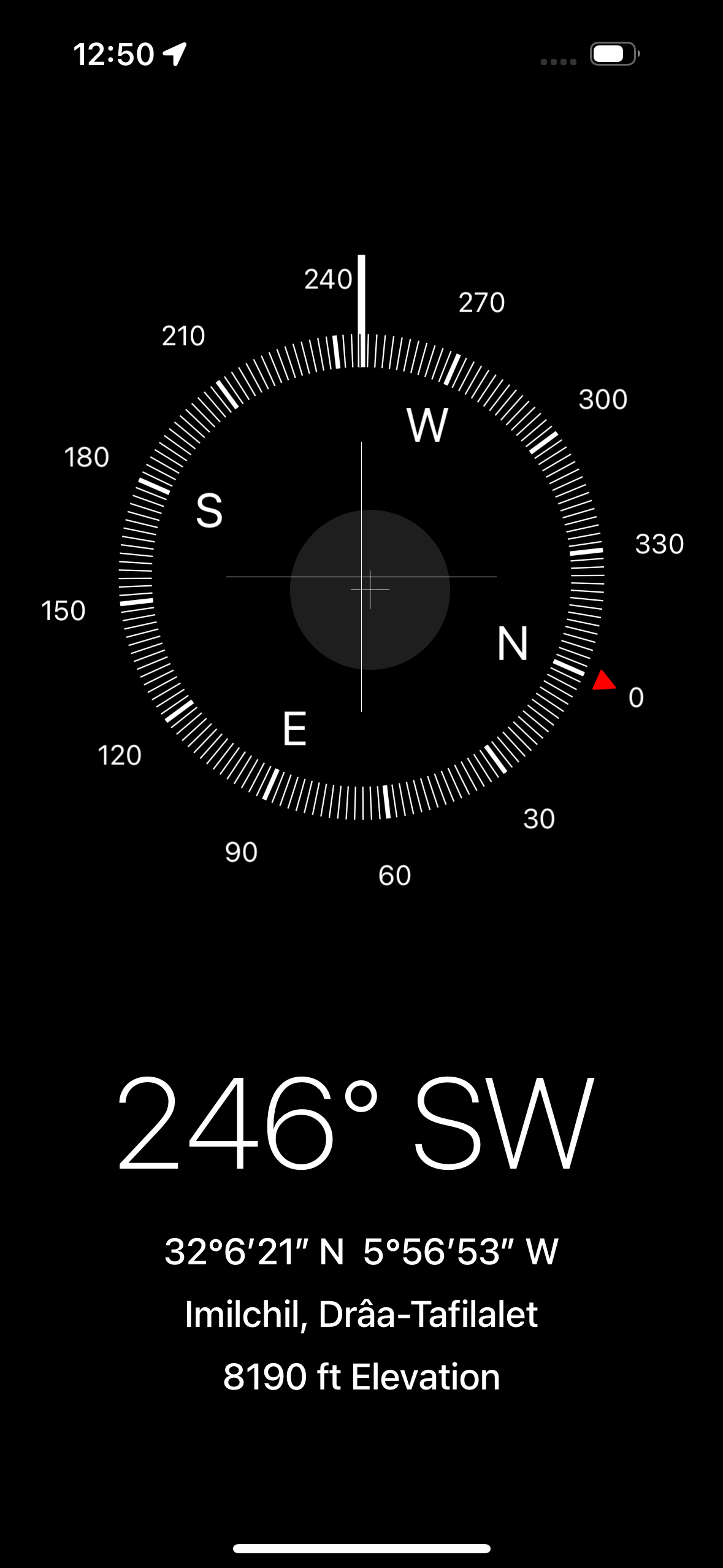
We got moving early. Quite cold in winter in Imilchil which is above 7000 feet. We gassed up and hit the road. After a climb we got to the turning point. It was decision time. I was among a group of four that opted for the track. The other two went for the main road route.
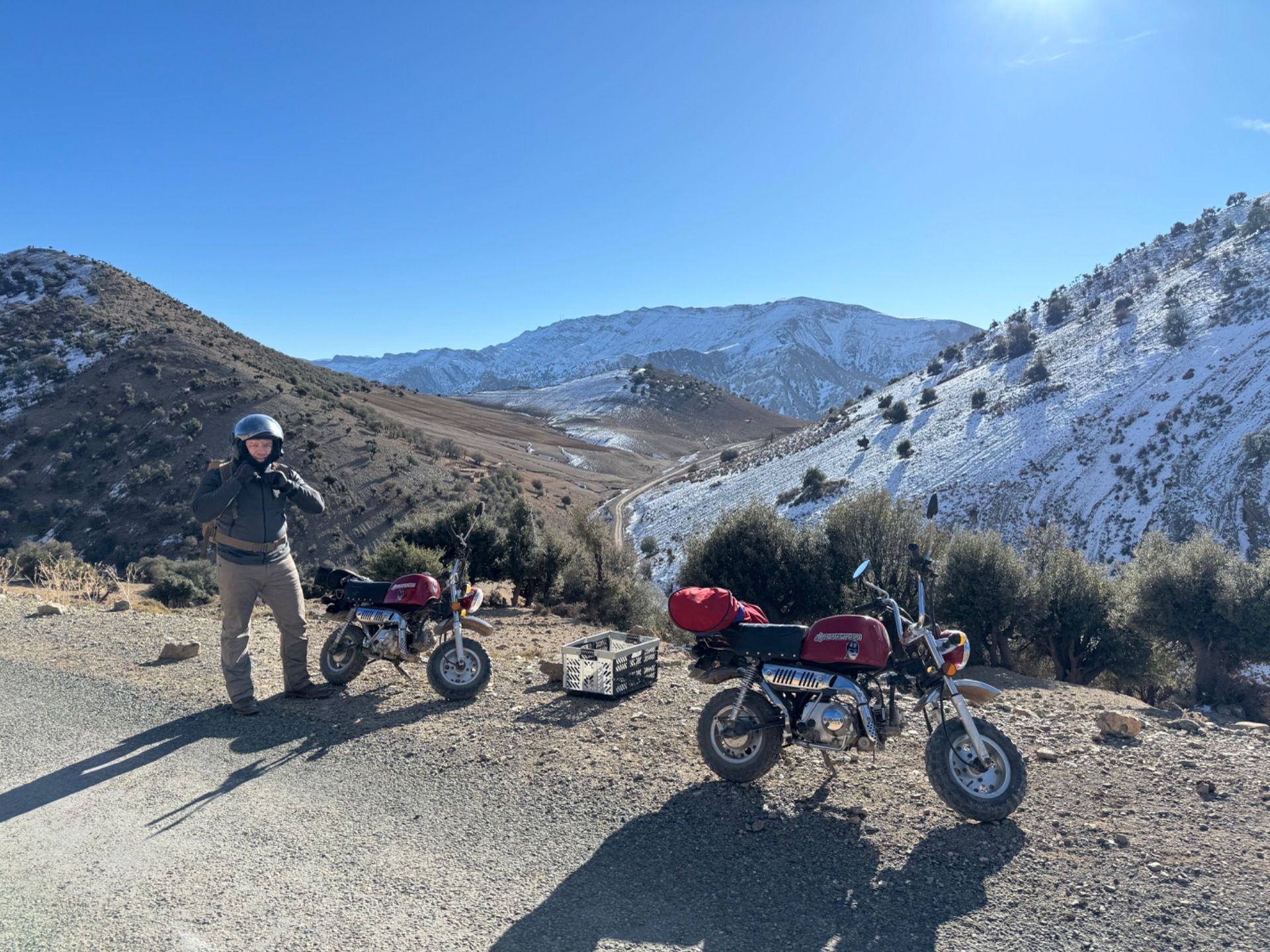
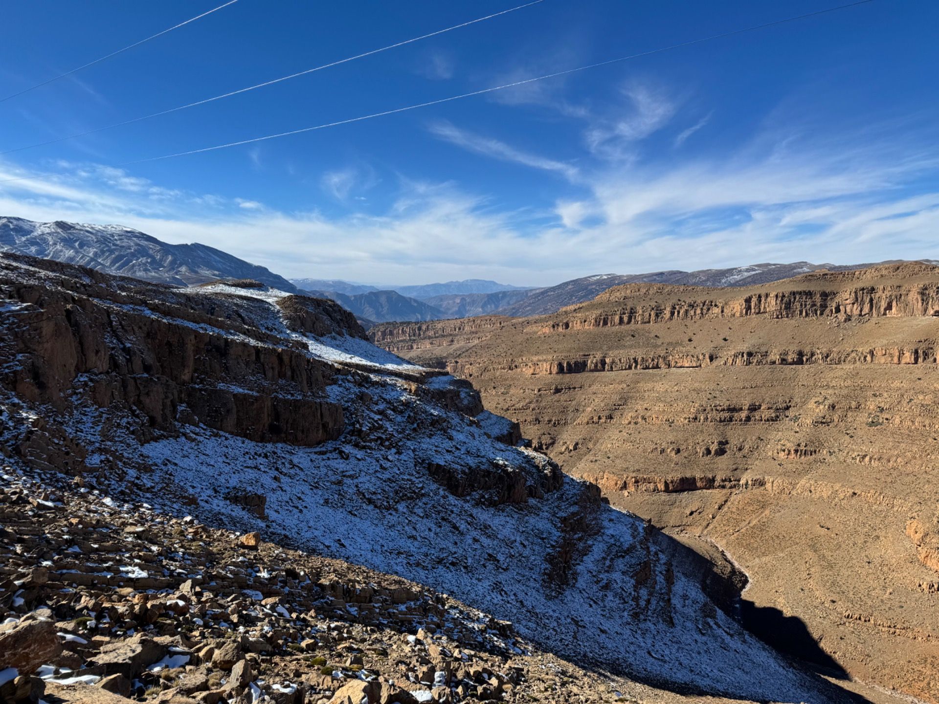
The track turned out to be mostly fine. At the start we went over another mountain, and then coasted along mountain roads for a while. It was really beautiful. Wed pass through small villages here and there. Mostly asphalt (sometimes rather eroded), occasionally dirt. There was some ice and snow to navigate but it was manageable. This may have been more of a challenge for a car.
At one point we were climbing and my bike stopped. I could not get it started. Electric starter wouldn’t do it. Kick start wouldn’t do it. I see the other three bikes zipping away and I could feel myself moving toward panic mode.
I took a break from cranking on the bike. Took off a sweatshirt (too many layers), said hello to a horse that was tied to a post not far from where I was, and tried to relax. I tried to start it again a few minutes later and was able to get it going. Sweet! I was on my way, climbing that hill. Except I didn’t have my gloves on and my jacket wasn’t zipped up. So now I began to negotiate with myself. I can’t fix this stuff while I’m moving. And if I stop I may not be able to start again. I wasn’t near a town or even a small village at this point.
I stopped at the top of a hill and fixed my gear. Starting wasn’t immediate, but it did work eventually! I got caught up and we were on our way.
Somewhere we took a wrong turn. We were climbing for a while, and we eventually realized this when we were at 8000 feet (!!) and heading back toward Imilchil. That’s 9km and an hour lost.
We turned around, found the right route, climbed, climbed, descended, descended, and descended. Going downhill is so good! And uphill is terrible!
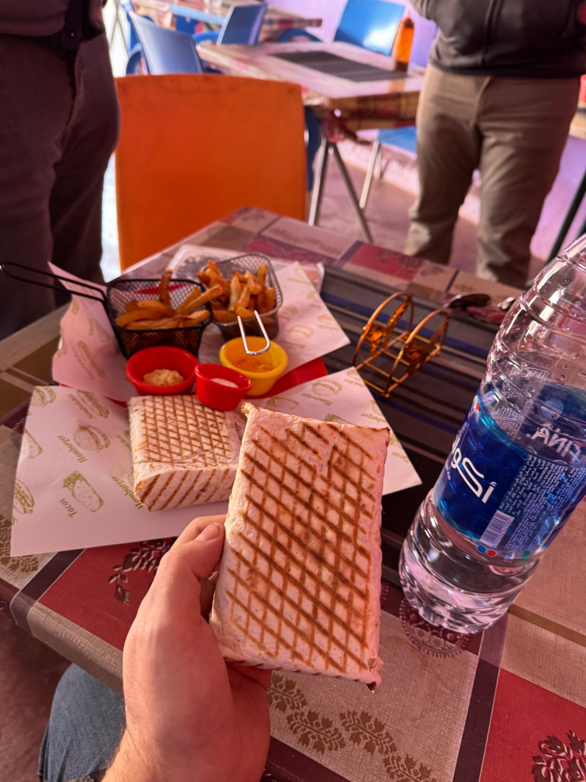
We made it to Tagleft, sat down at a place for a quick lunch, and then climbed one more mountain before zipping down to Béni Mellal, arriving just after 5pm (about an hour after the main road route folks, and yes, there was another wrong turn..). In all I think we saved about 10km with our shortcut.
The hot shower upon arrival was phenomenal, especially since a shower the night before wasn’t even an option. That evening a soccer (football) team from Morocco beat a team from South Africa 1-0 in what I think is the African champions league. The game ended at 10pm. Cars were honking at 10pm and the honking went on sporadically through the night.

