This is my next travel blog on TravelFeed.io and today I will write about Cook Strait, New Zealand:
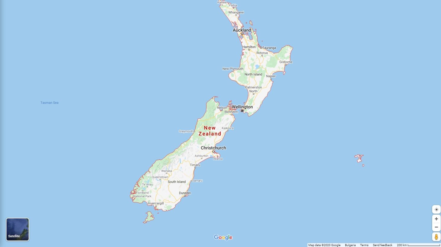
Back in September 2015 I visited New Zealand (Māori: Aotearoa). A wonderful country that has two main landmasses - the North Island (Te Ika-a-Māui), and the South Island (Te Waipounamu).
So, I traveled for almost two weeks from the North part of the country (from Auckland) to the South of the country (to Christchurch) and I had to cross Cook Strait in order to get from the North Island to the South Island.
According to Wikipedia:
Cook Strait (Māori: Te Moana-o-Raukawa) is a strait that separates the North and South Islands of New Zealand. It connects the Tasman Sea on the northwest with the South Pacific Ocean on the southeast, and runs next to the capital city, Wellington.
It is 22 kilometres (14 mi) wide at its narrowest point, and is considered one of the most dangerous and unpredictable waters in the world.
The strait is named after James Cook, the first European commander to sail through it, in 1770. In Māori it has the name Raukawa or Te Moana-o-Raukawa ("The Sea of Raukawa"). Raukawa may mean "bitter leaves".
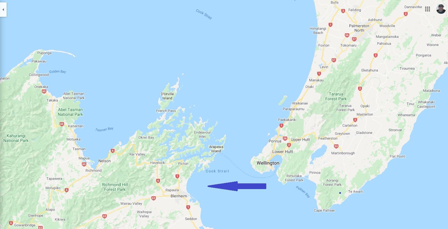
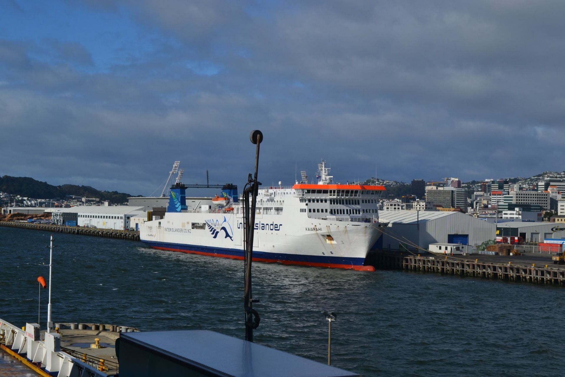
So, in Wellington (the capital of New Zealand that is located at the south-western tip of the North Island) I took the Interislender Cook Strait Ferry:
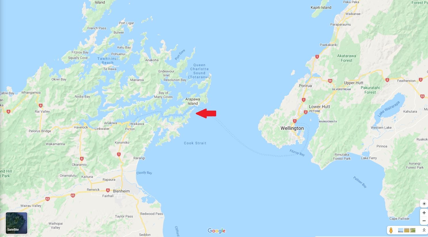
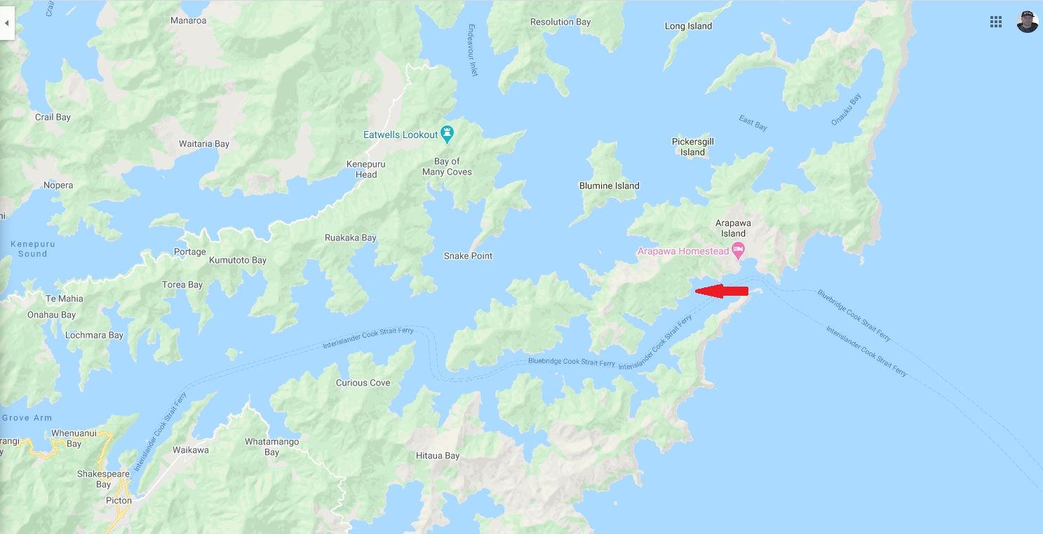
This is the route of the journey through Cook Strait from Wellington to Pictoin and it takes approximately 3 hours by ferry:
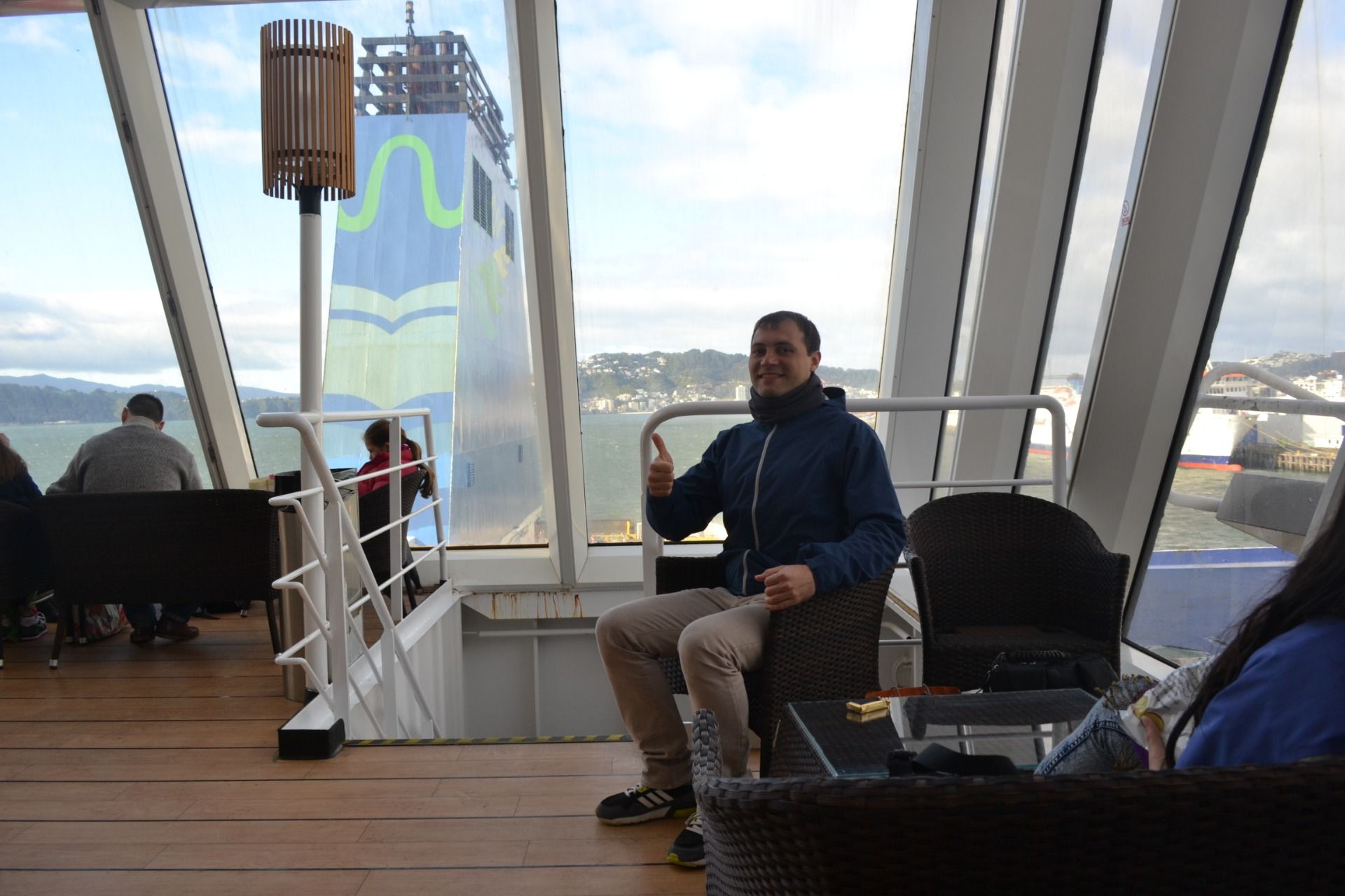
That's me in the ferry:
And our journey through the strait started:
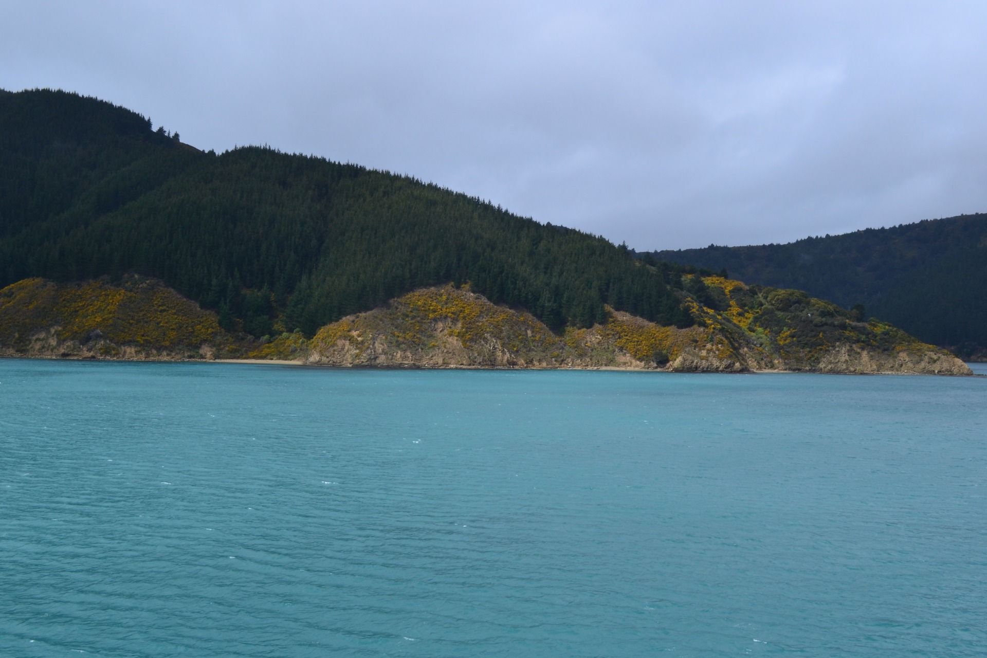
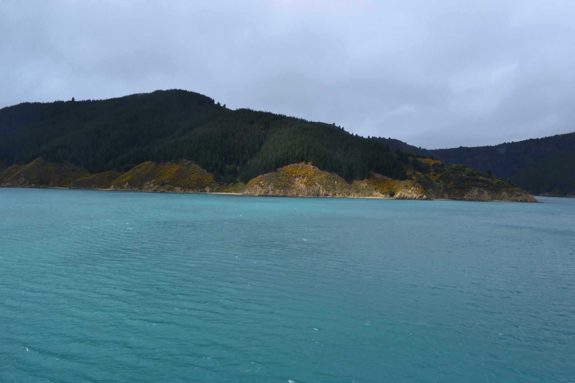
The water was very clear and blue:
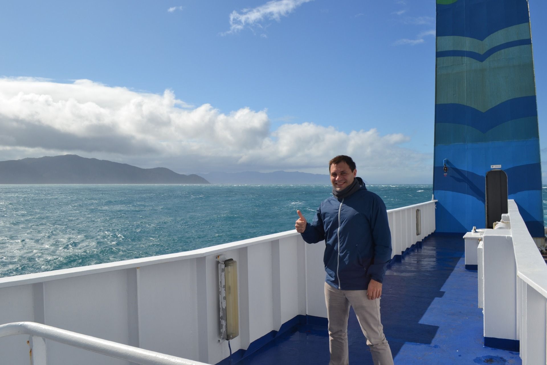
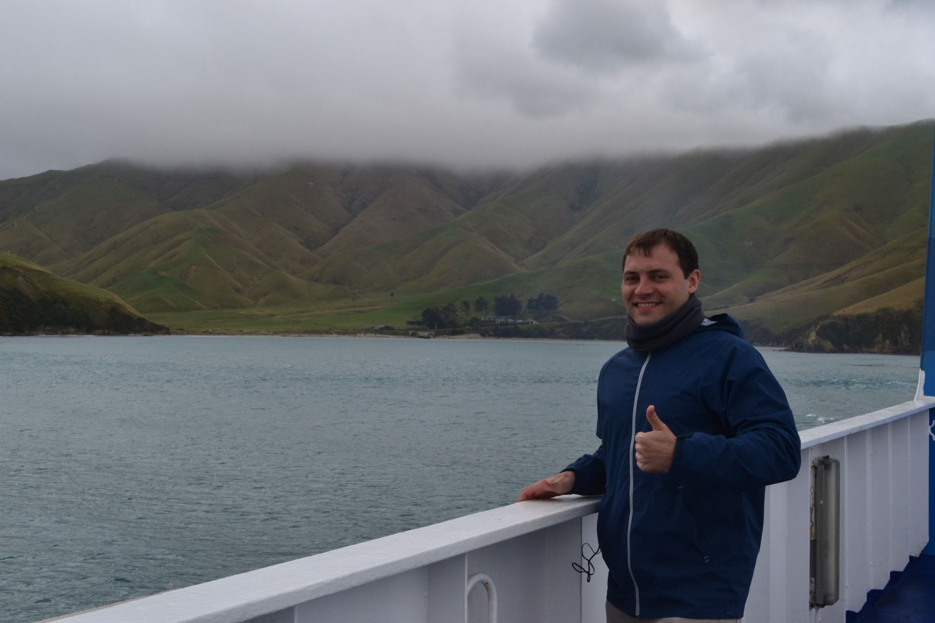
That's me on the deck of the ferry:
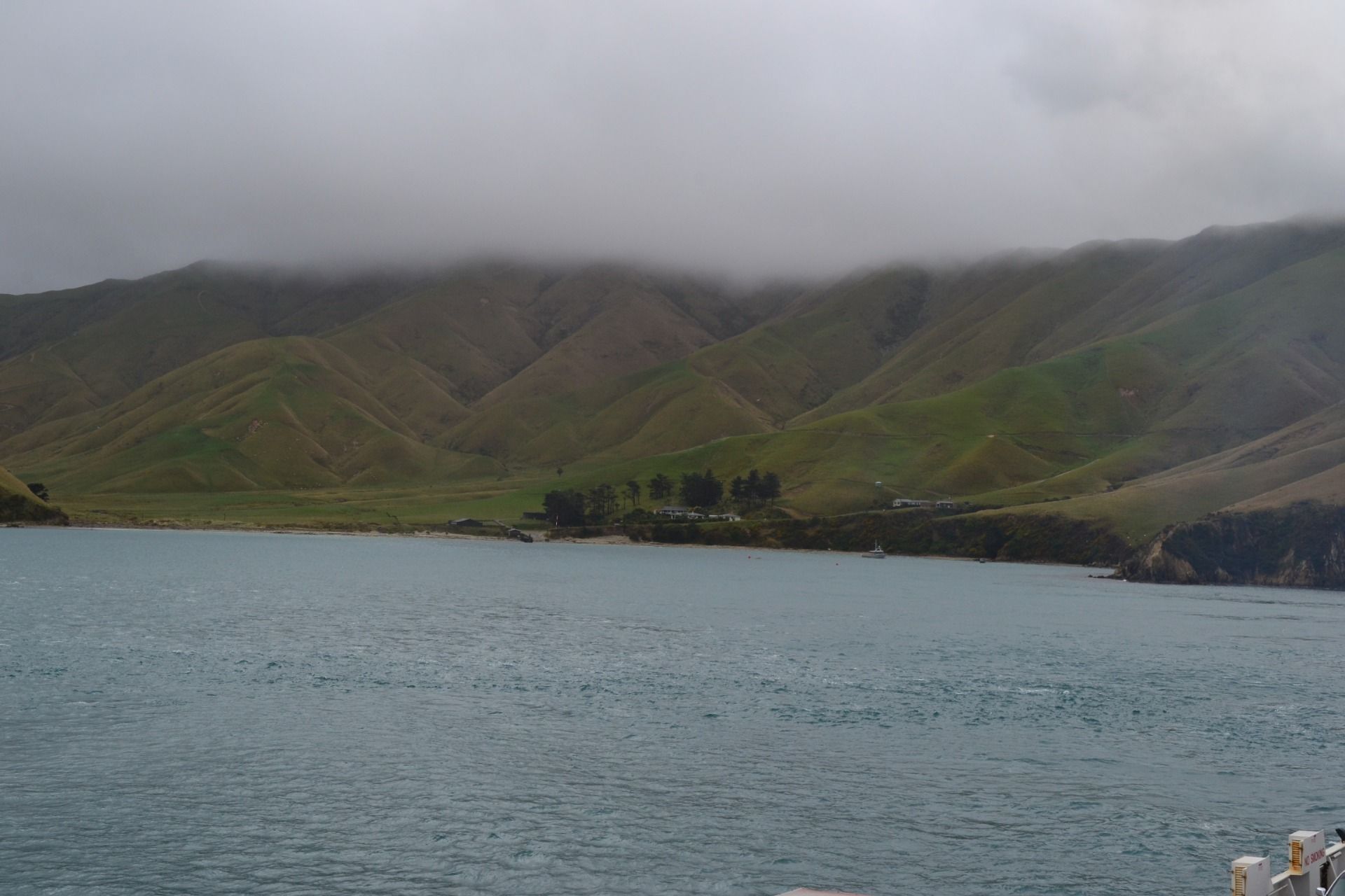
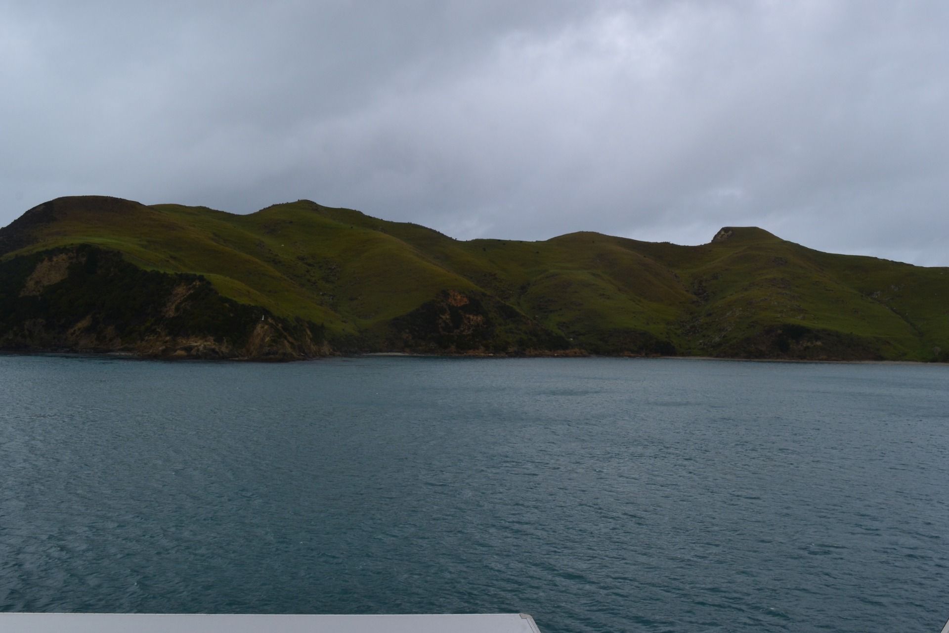
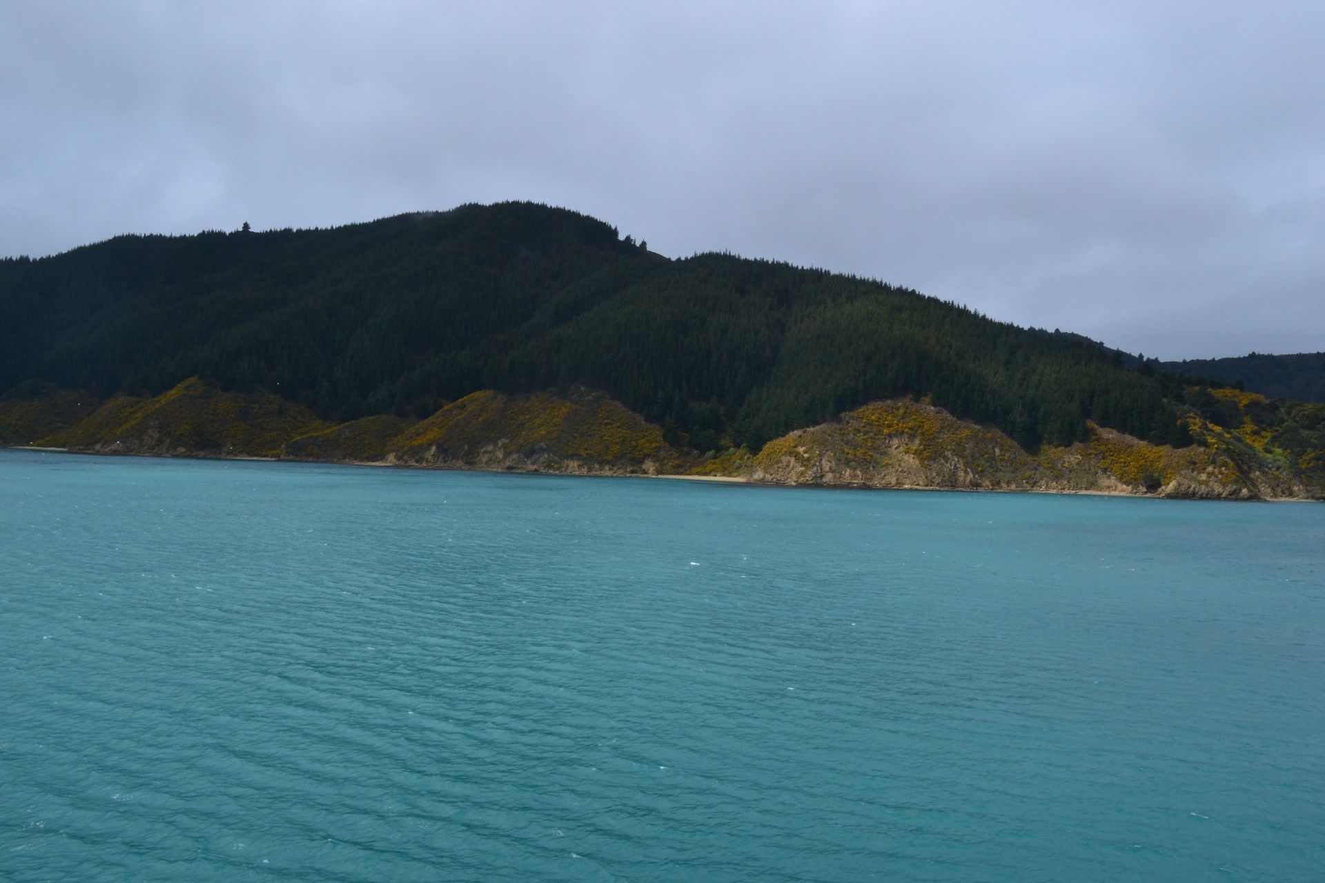
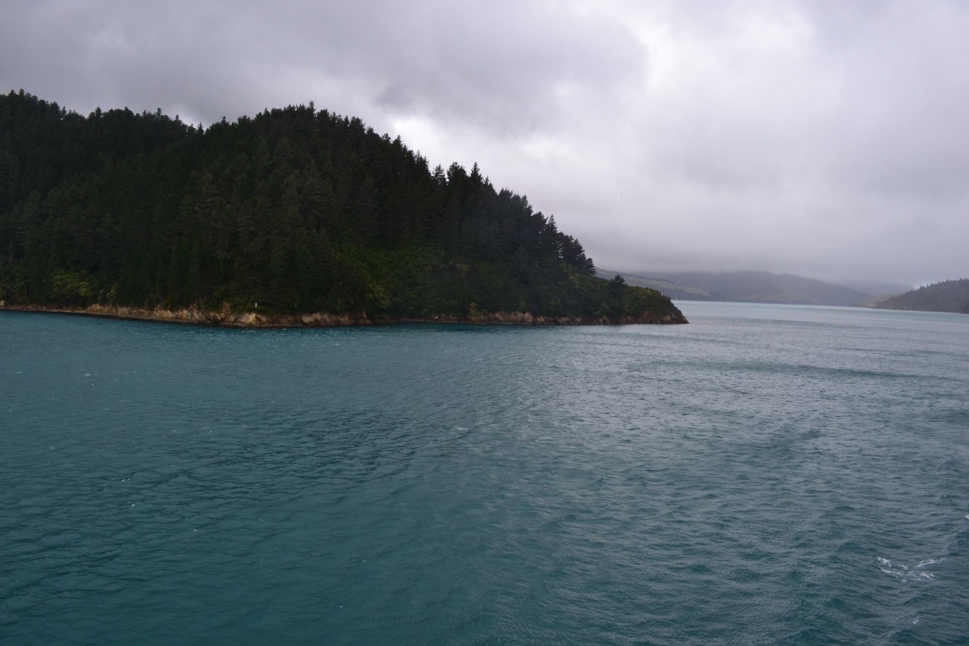
What a beautiful hills in the islands!
While I was on the deck of the ferry enjoying the beautiful view, I started to think about the navigator and cartographer James Cook and the sailors/explorers travelling with him back in the 18th century who first among the Europeans mapped New Zealand.
Probably, back in the 18th century, when those sailors while looking out to the horizon saw the land they started to shout: "Land on the Horizon!"'
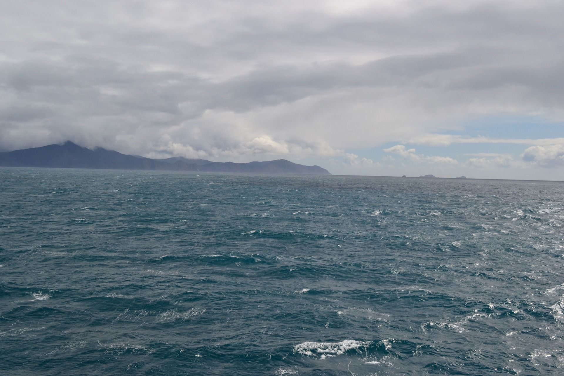
That's why when while on the deck of the ferry when I saw the South Island, I started to shout "Land on the Horizon!":
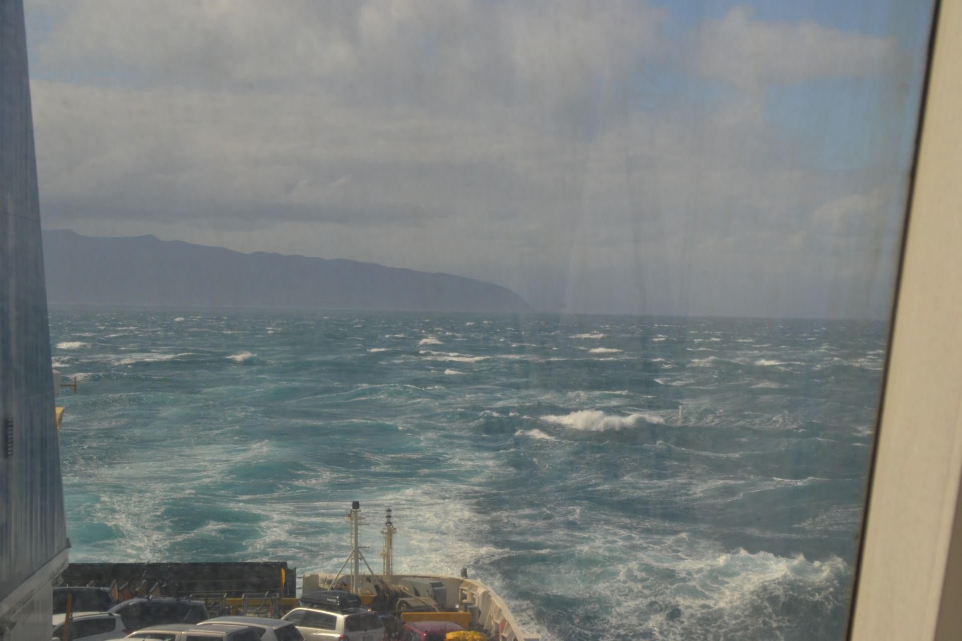
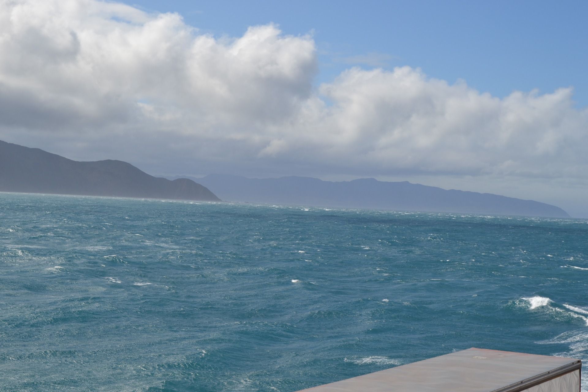
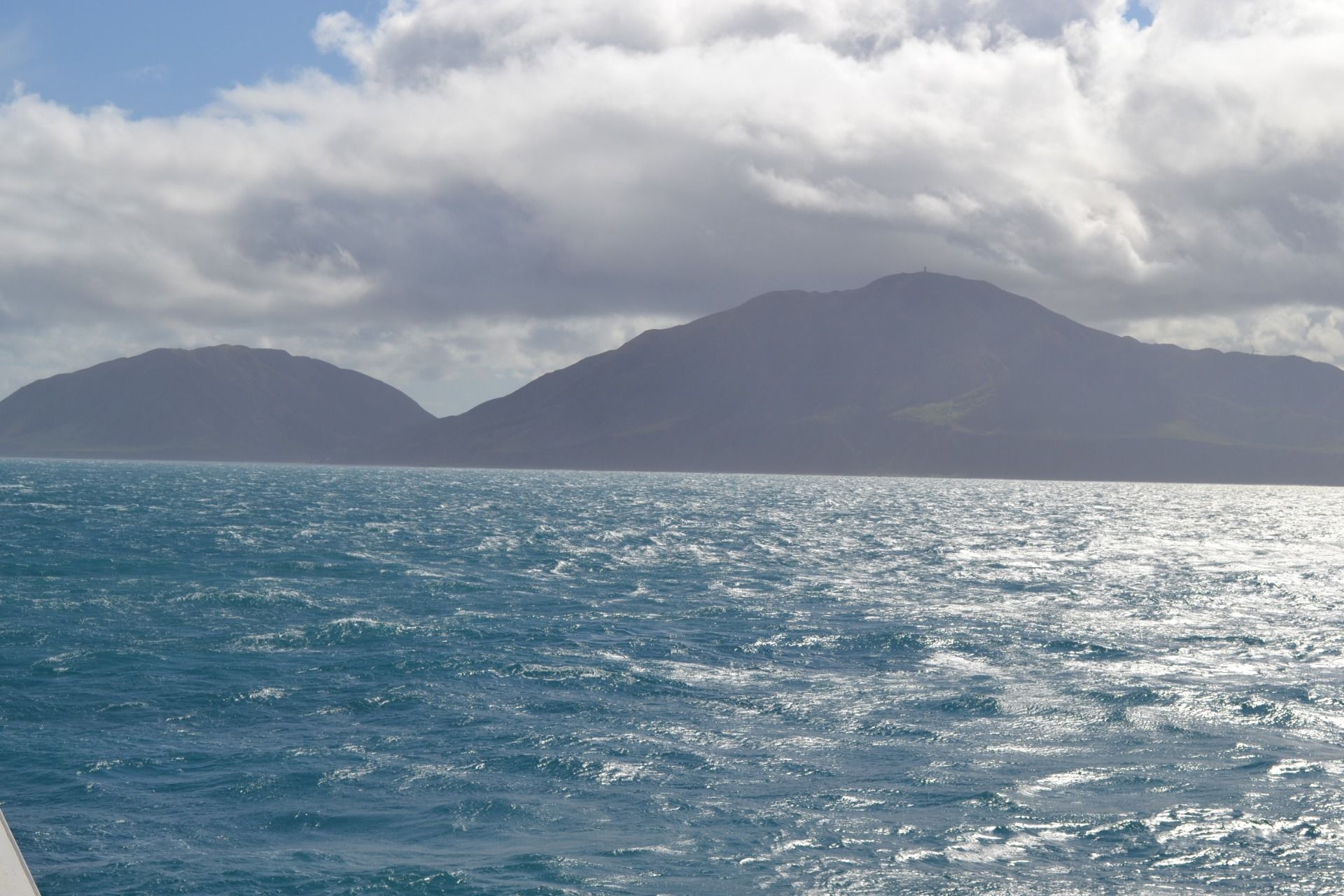
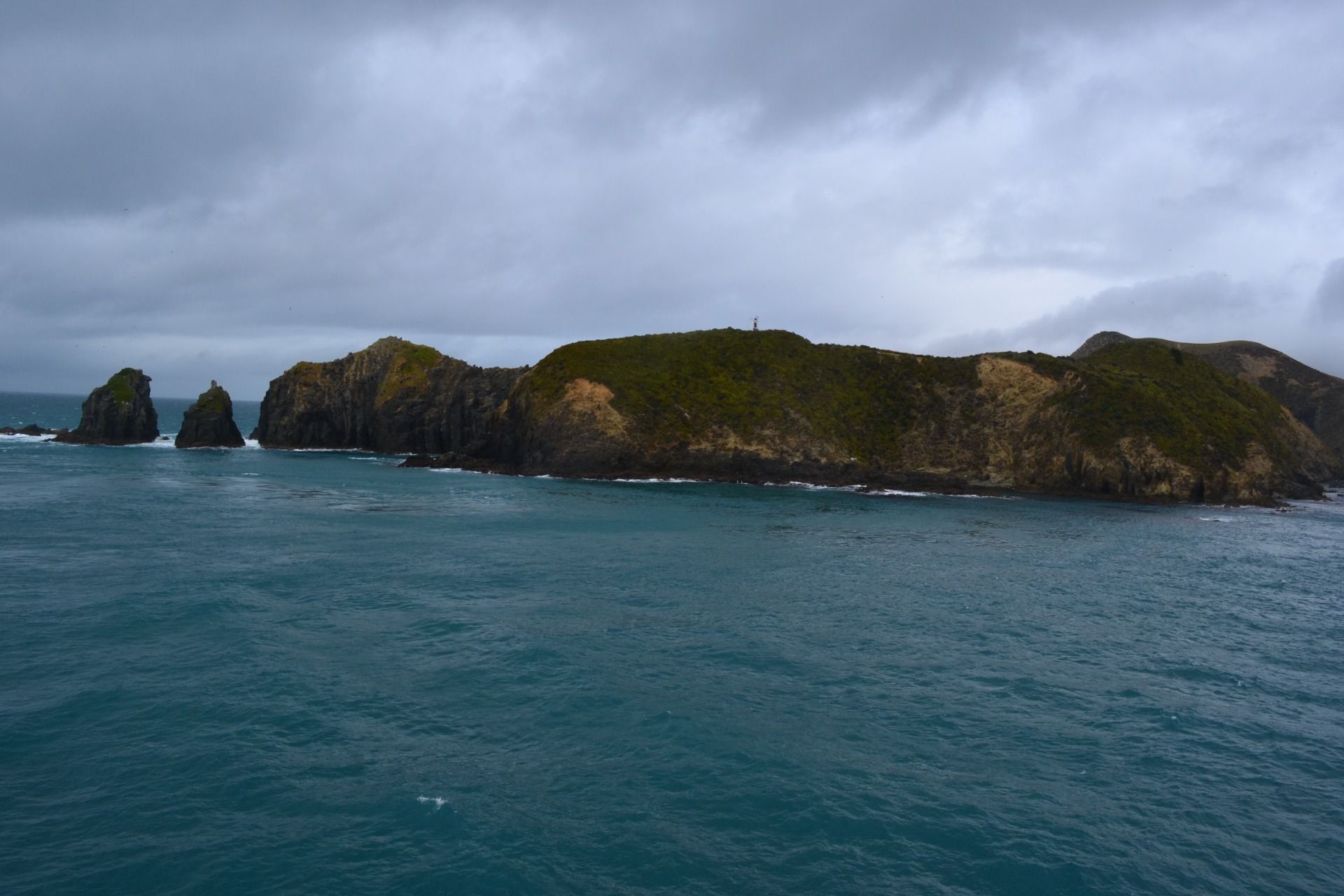
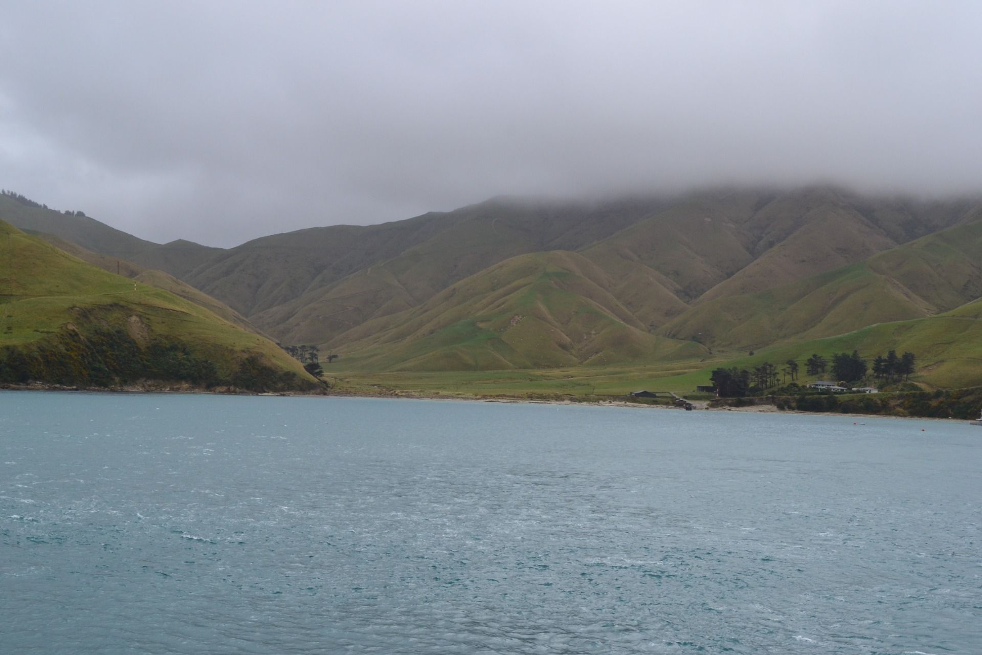
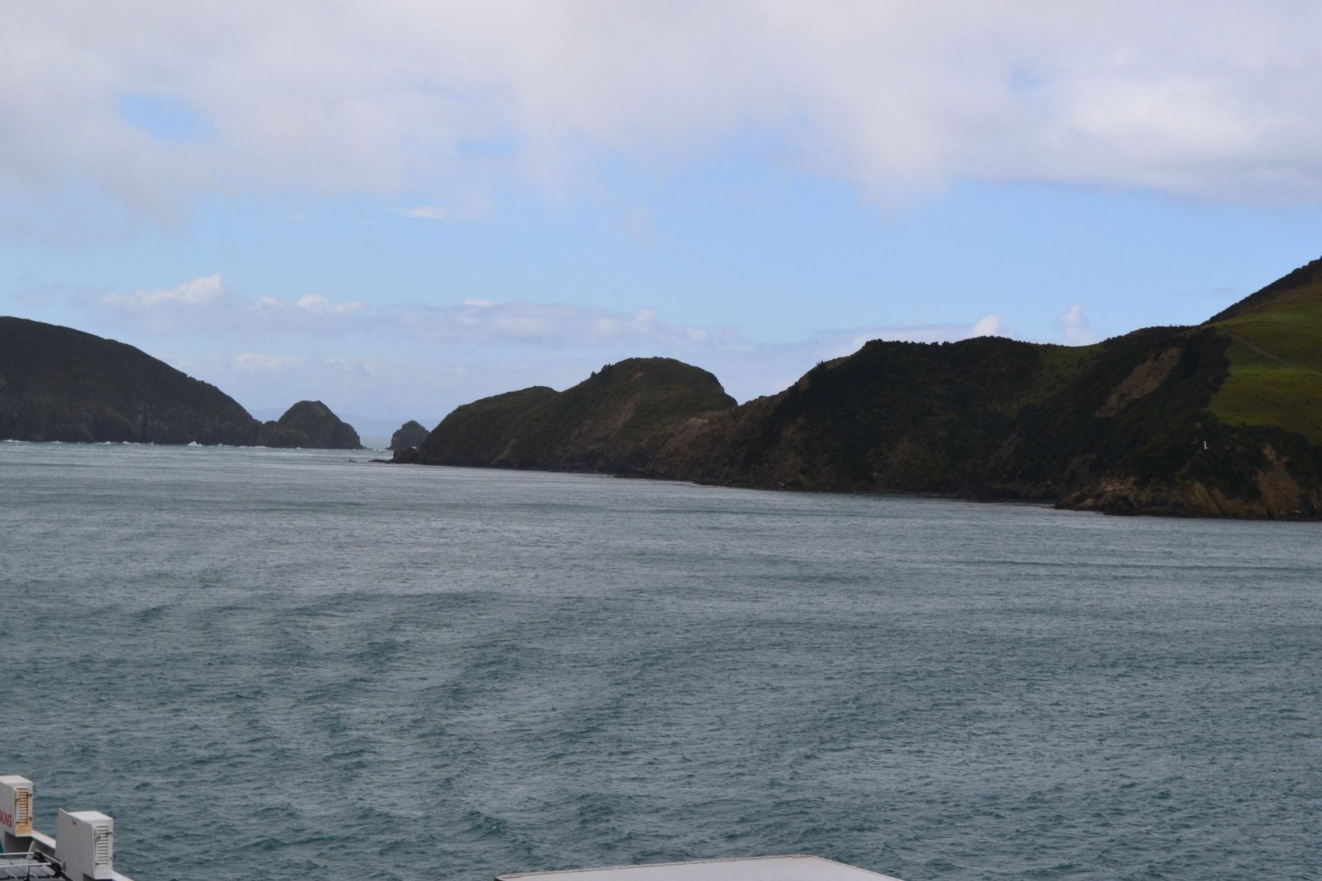
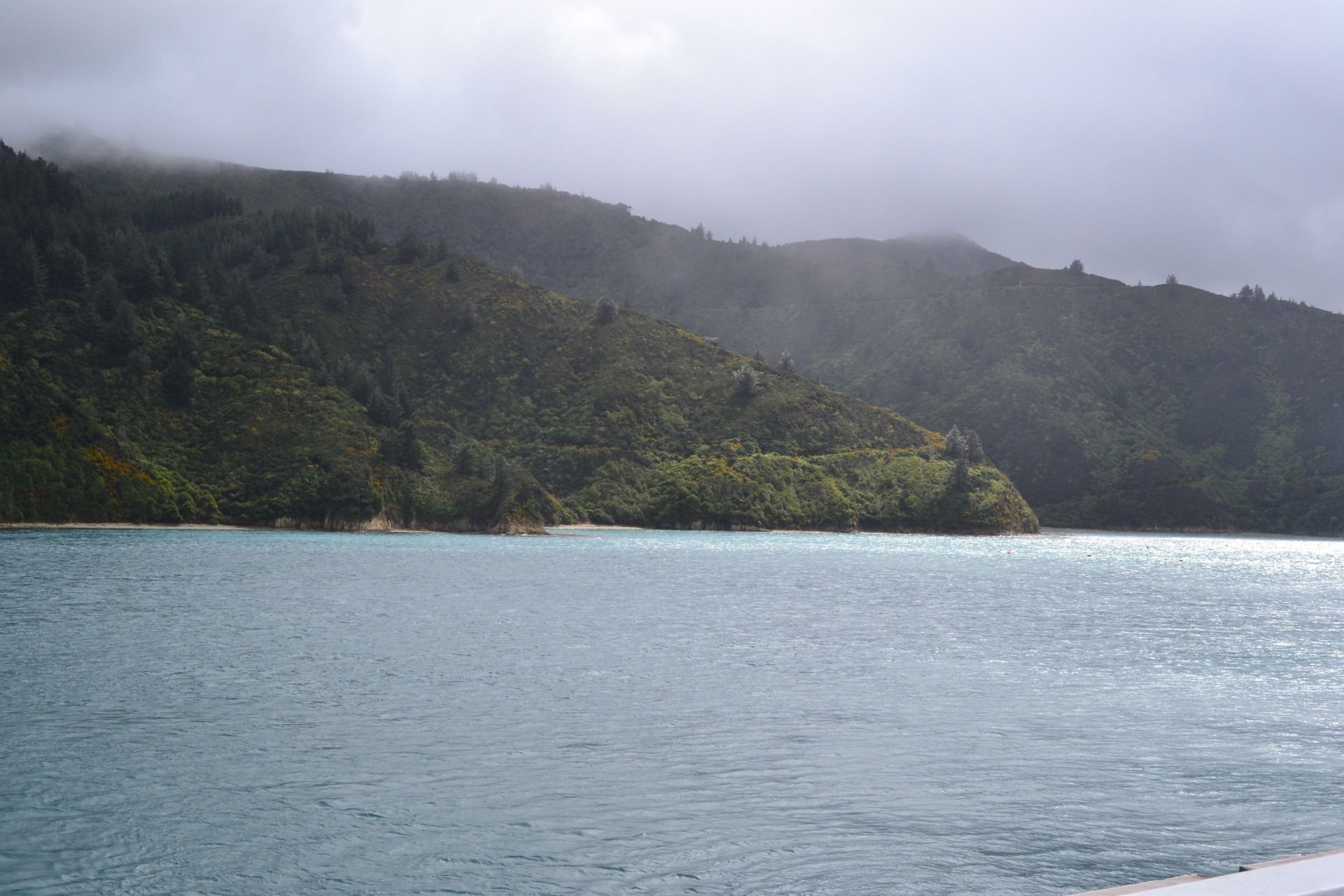
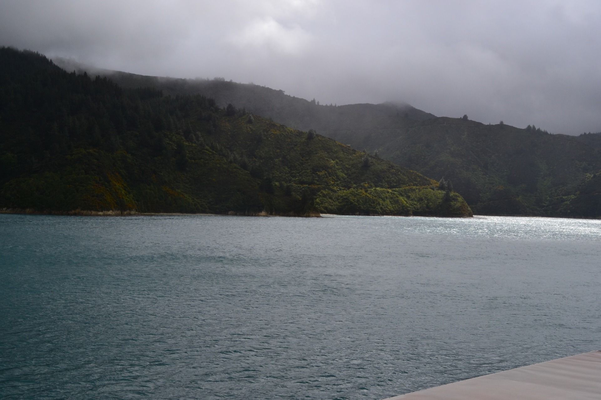
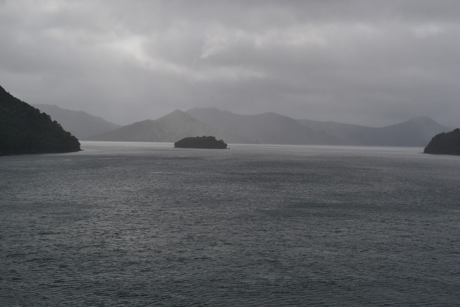
When we were approaching the South Island ...
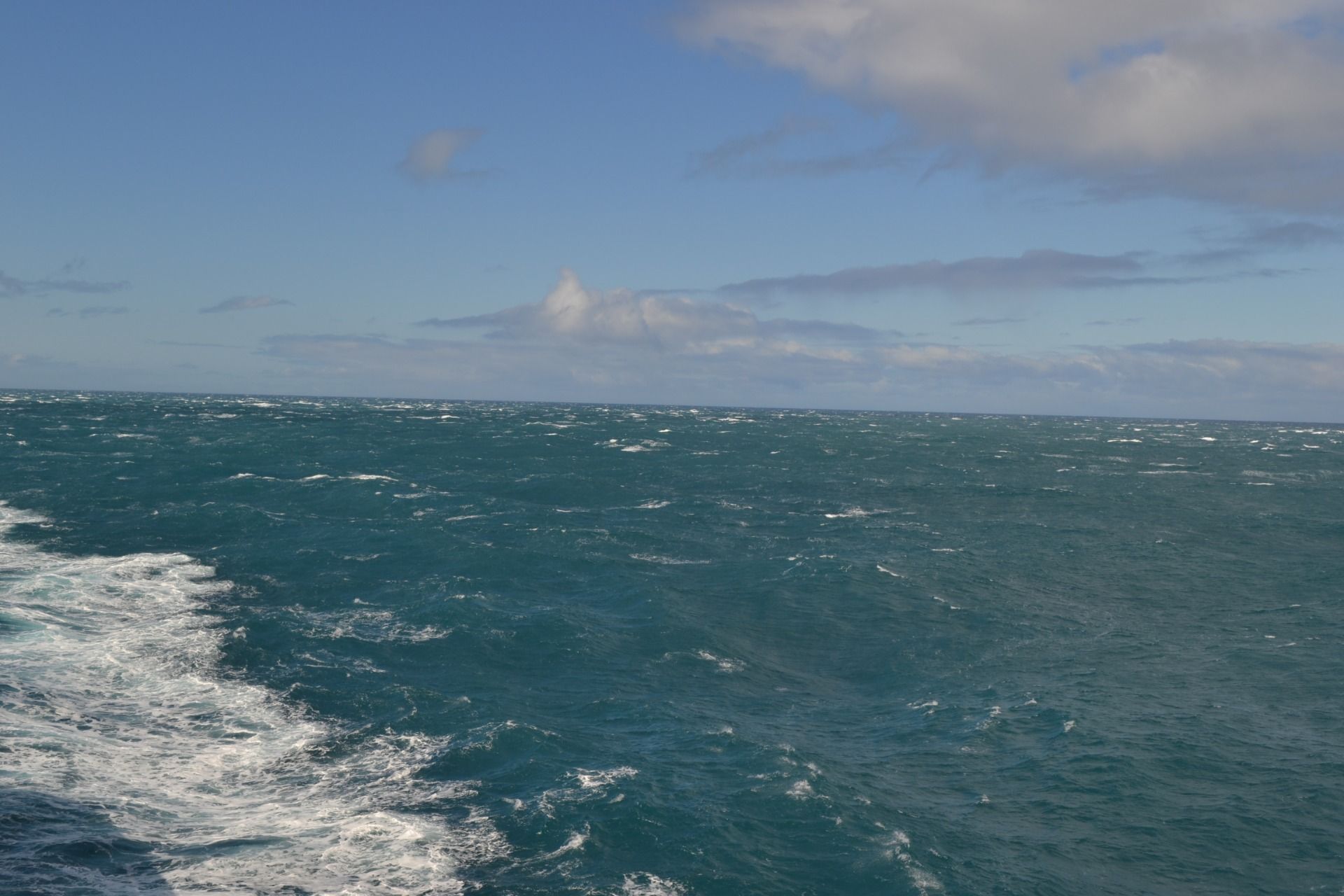
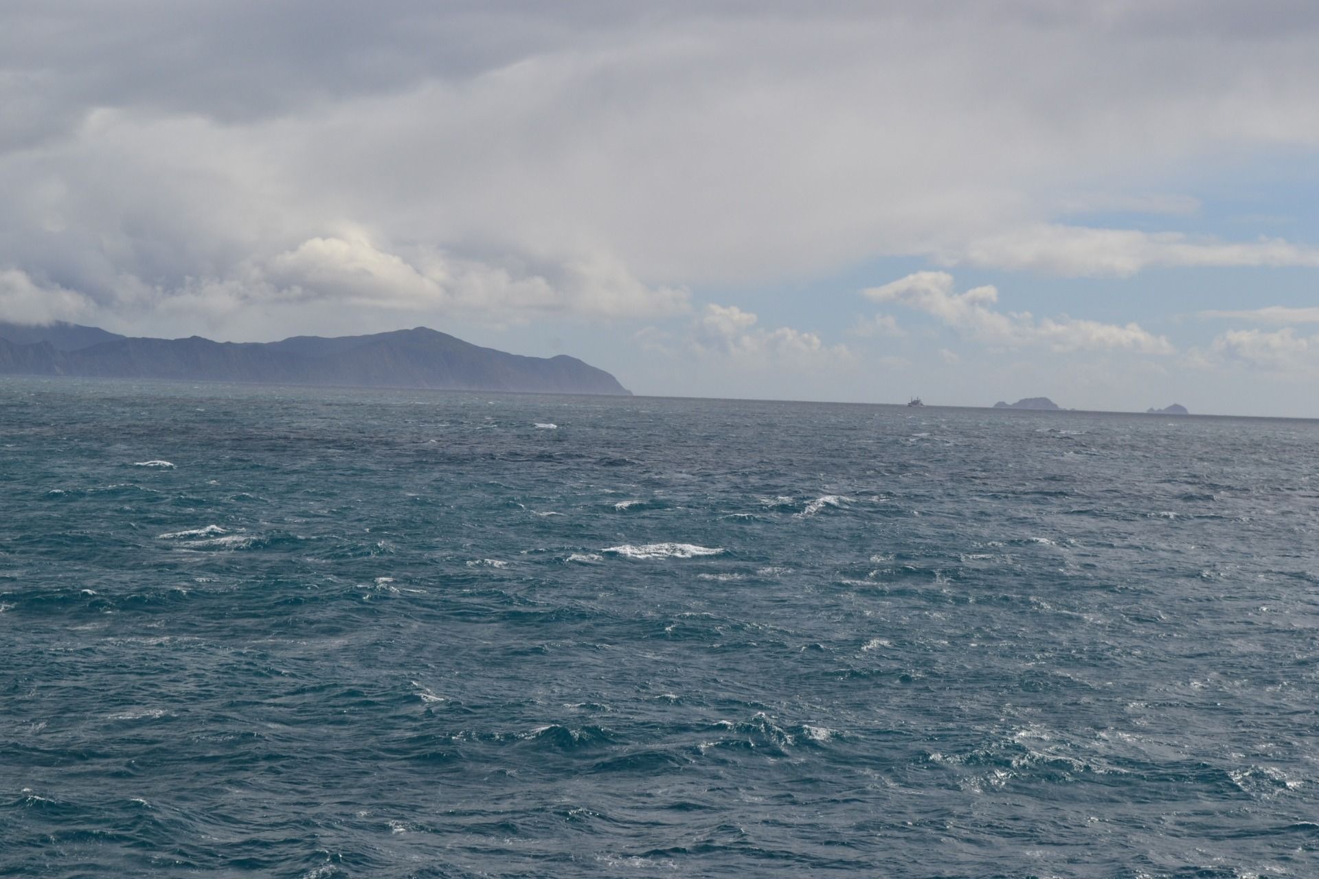
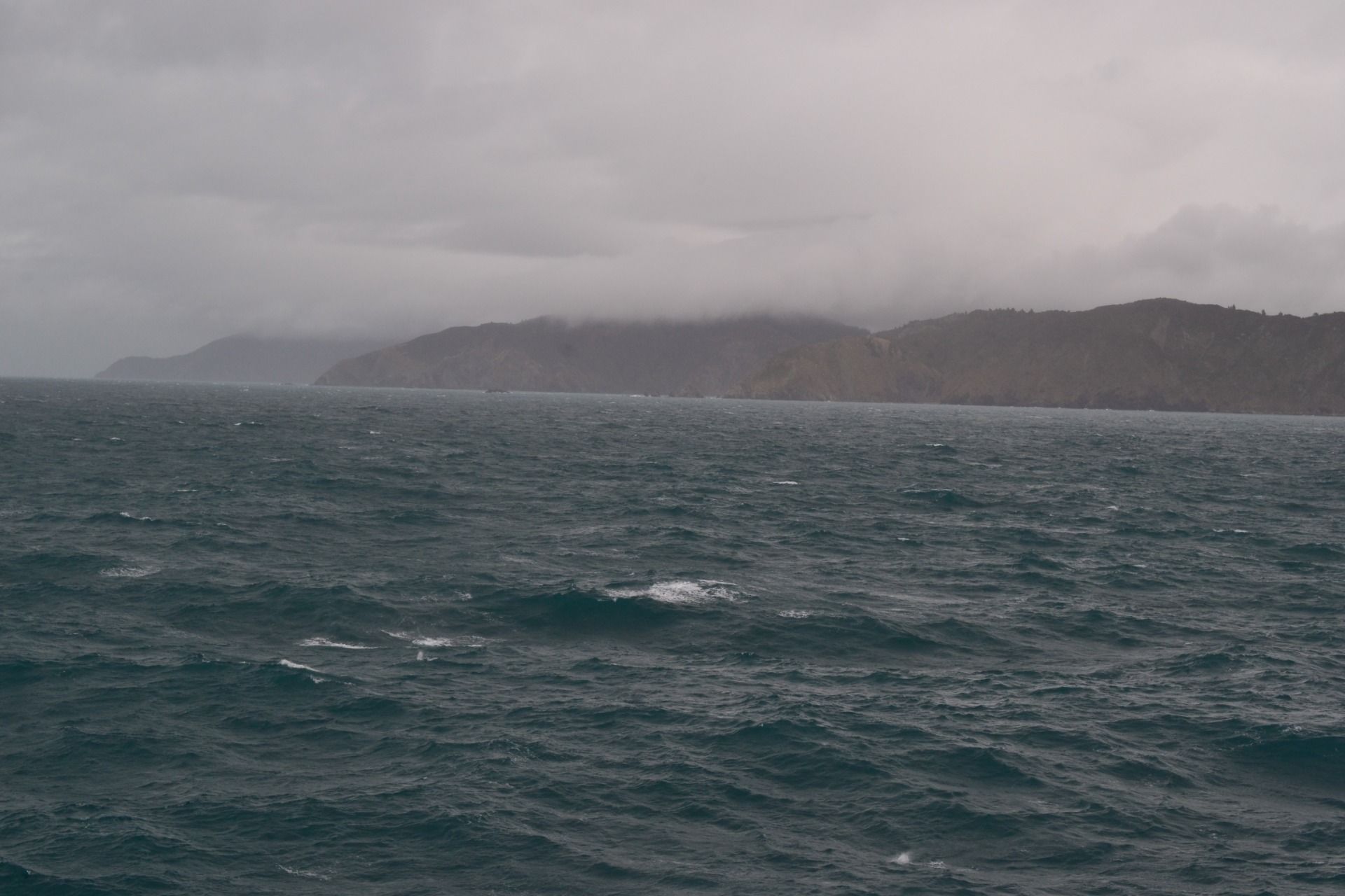
... the weather started to change:
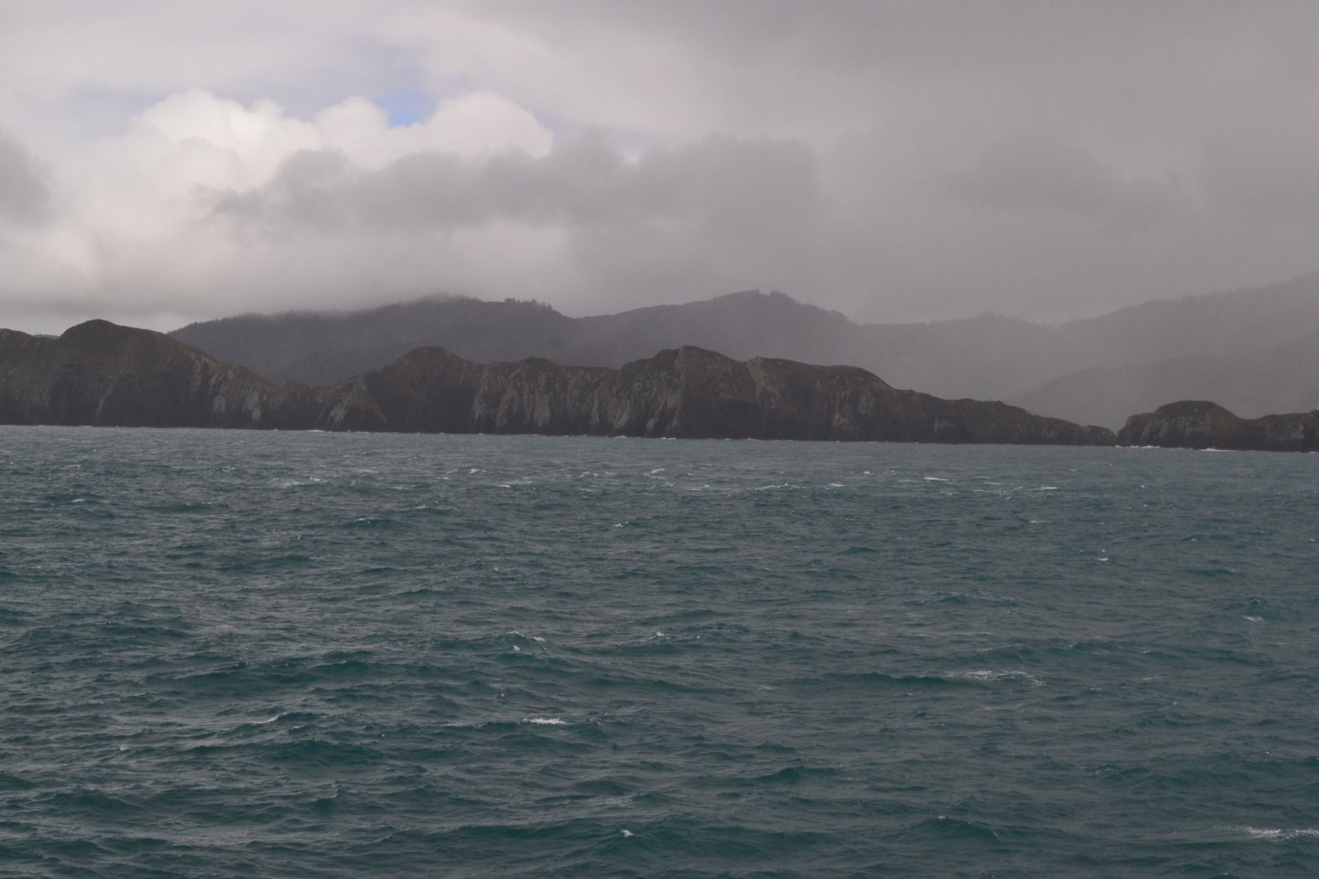
And very fast it changed drastically:
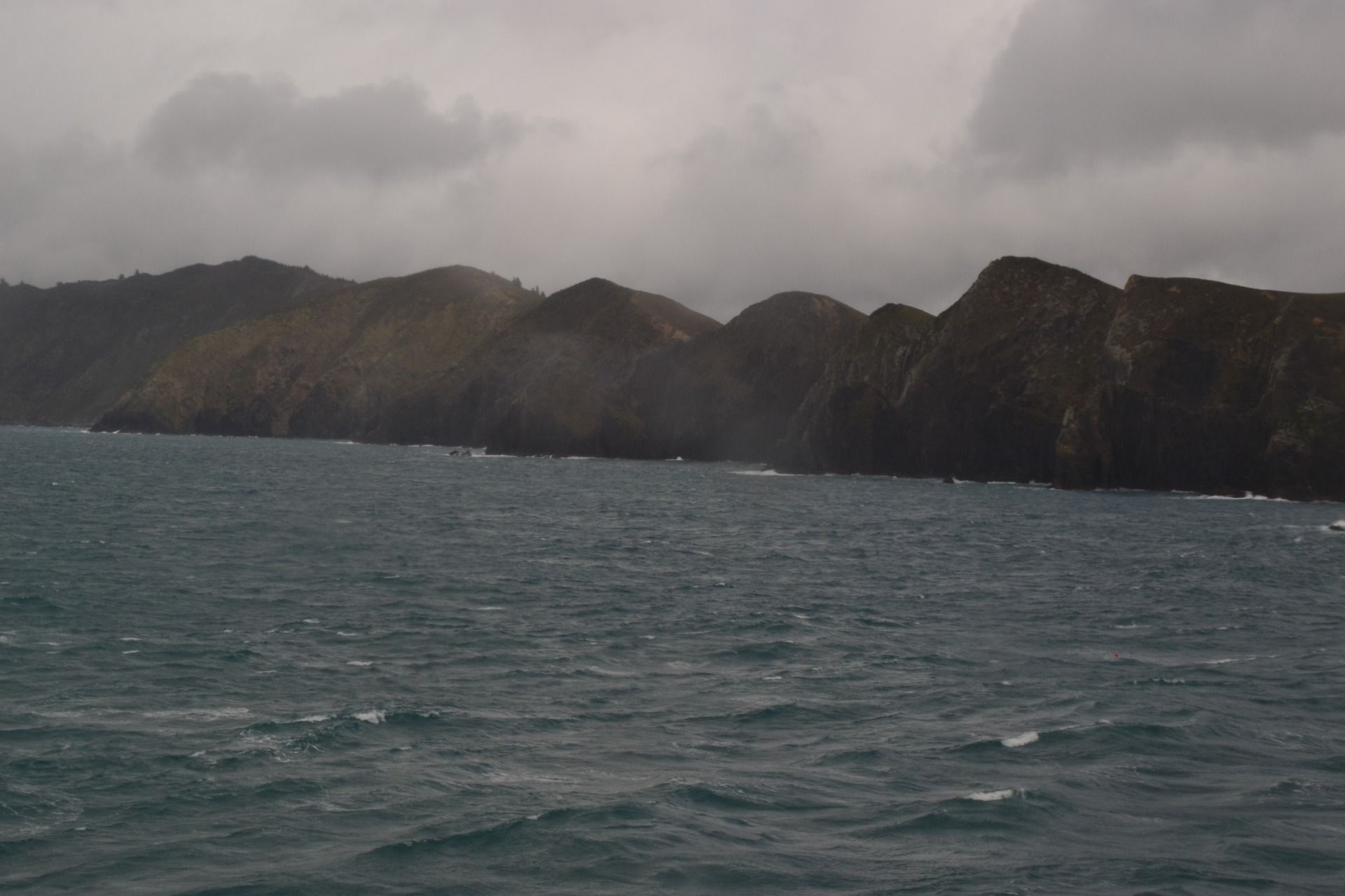
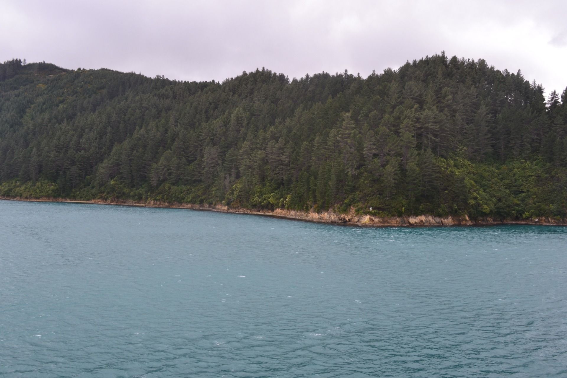
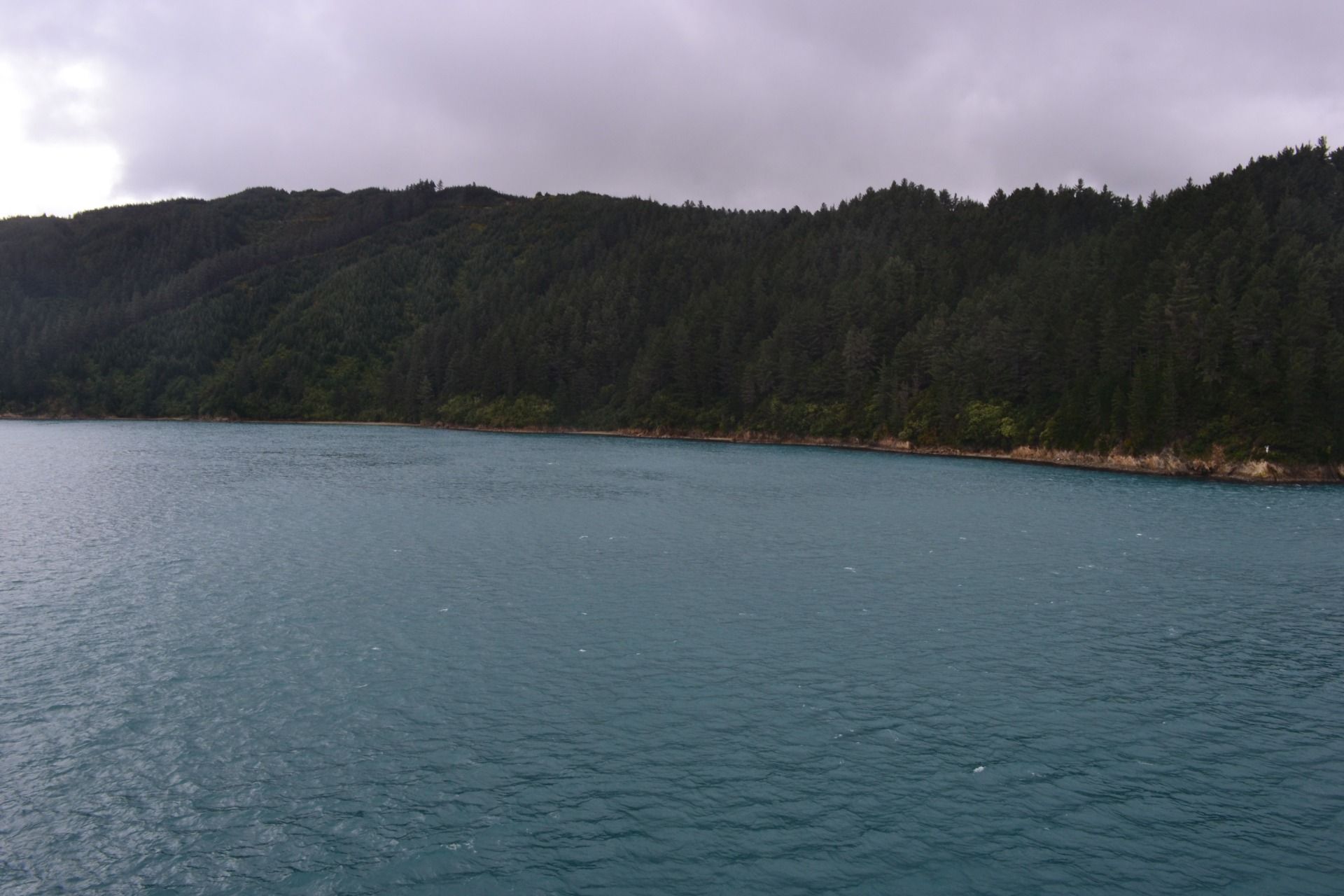
That shores of that part of the South Island is composed mainly of steep cliffs:
So beautiful!
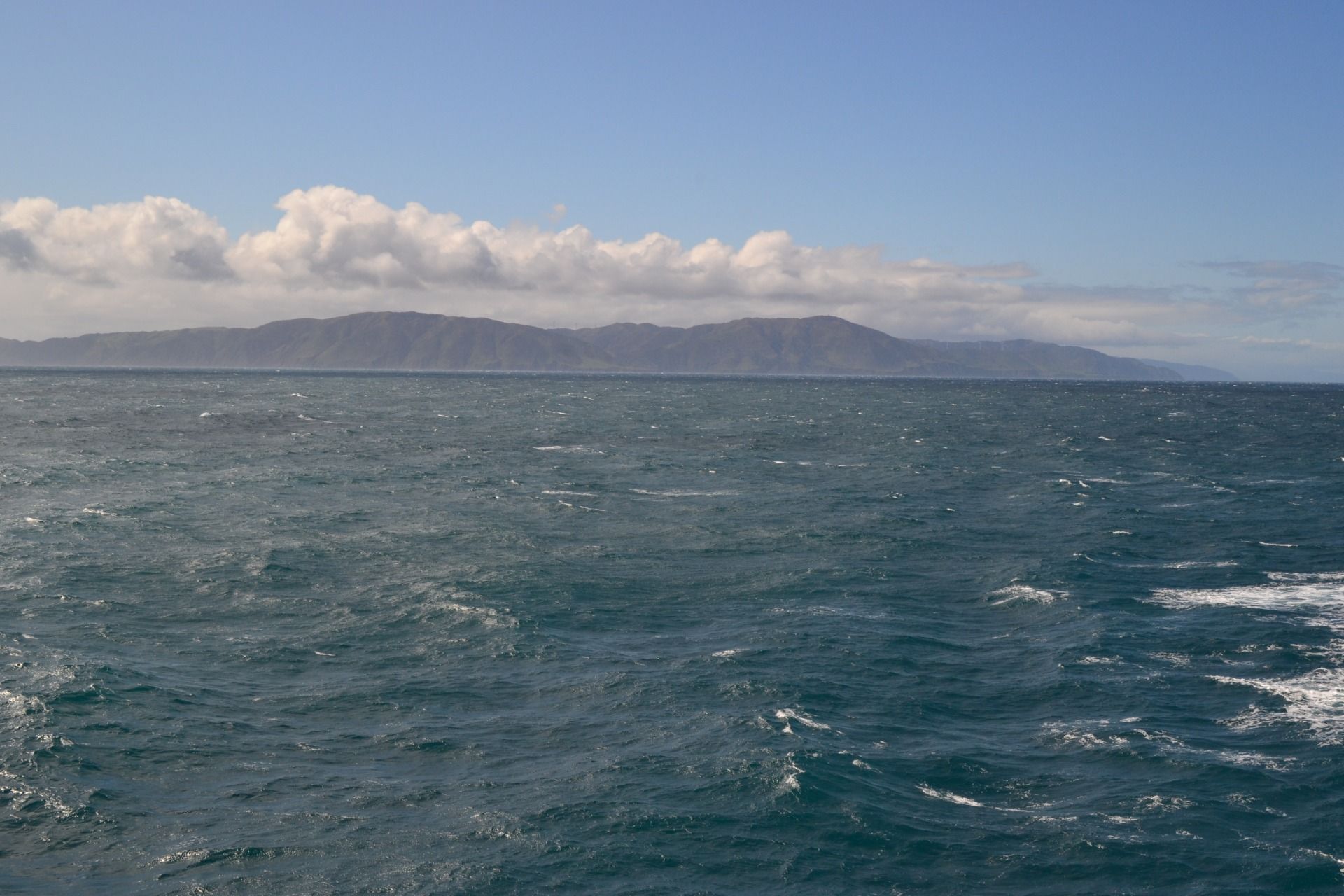
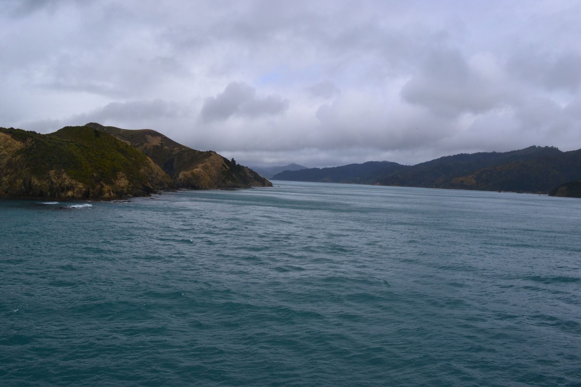
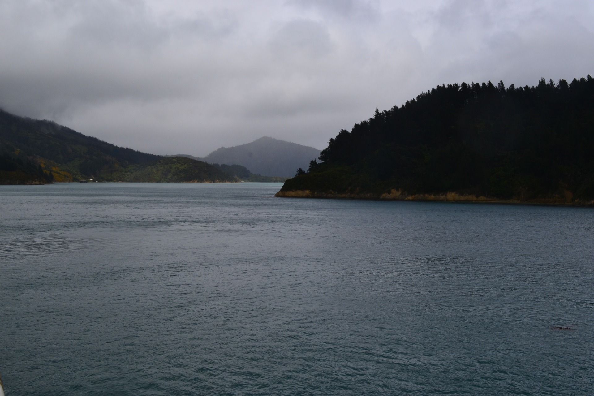
When we crossed the Cook Straits and entered the waters of the South Island ...
... the weather started to improve:
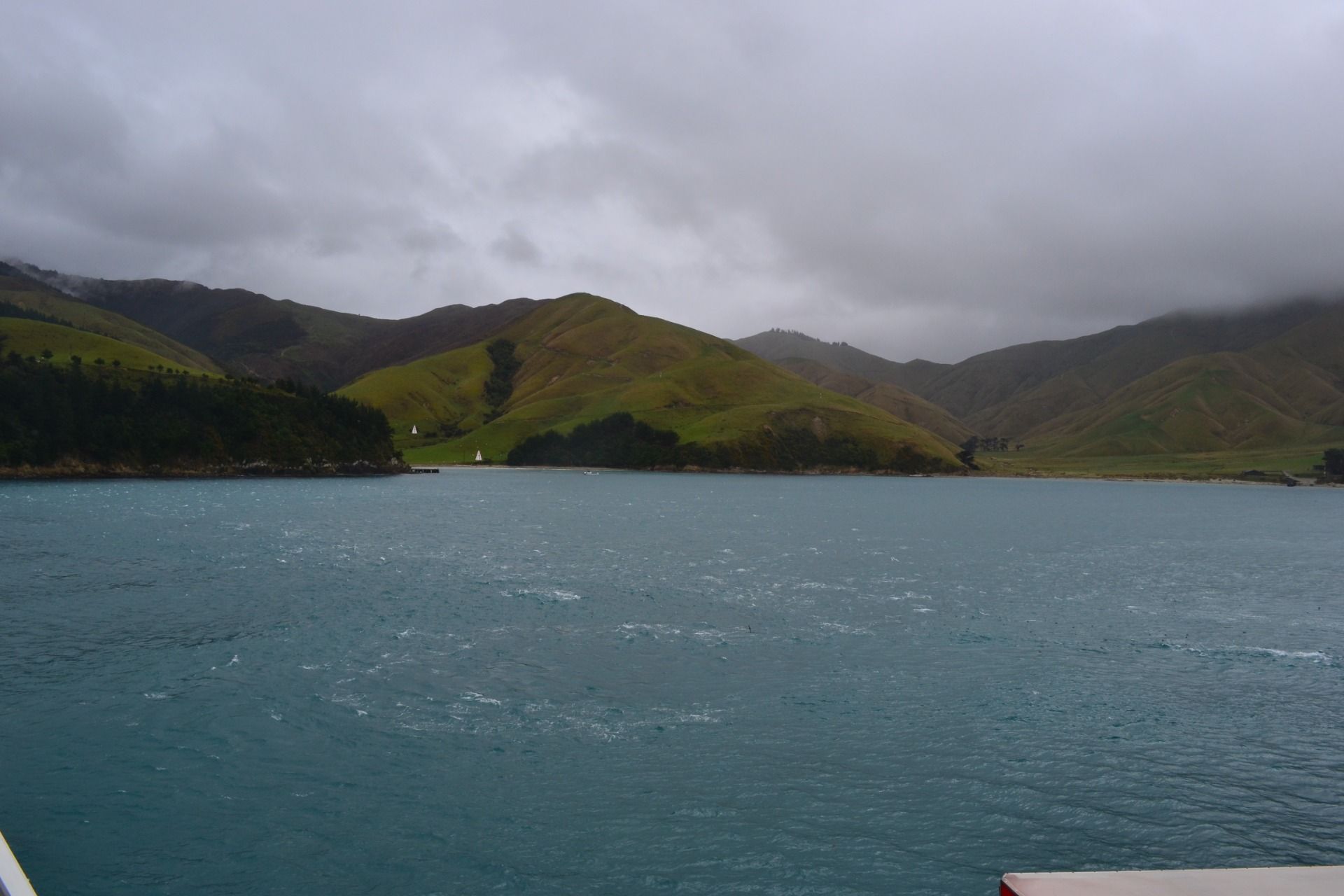
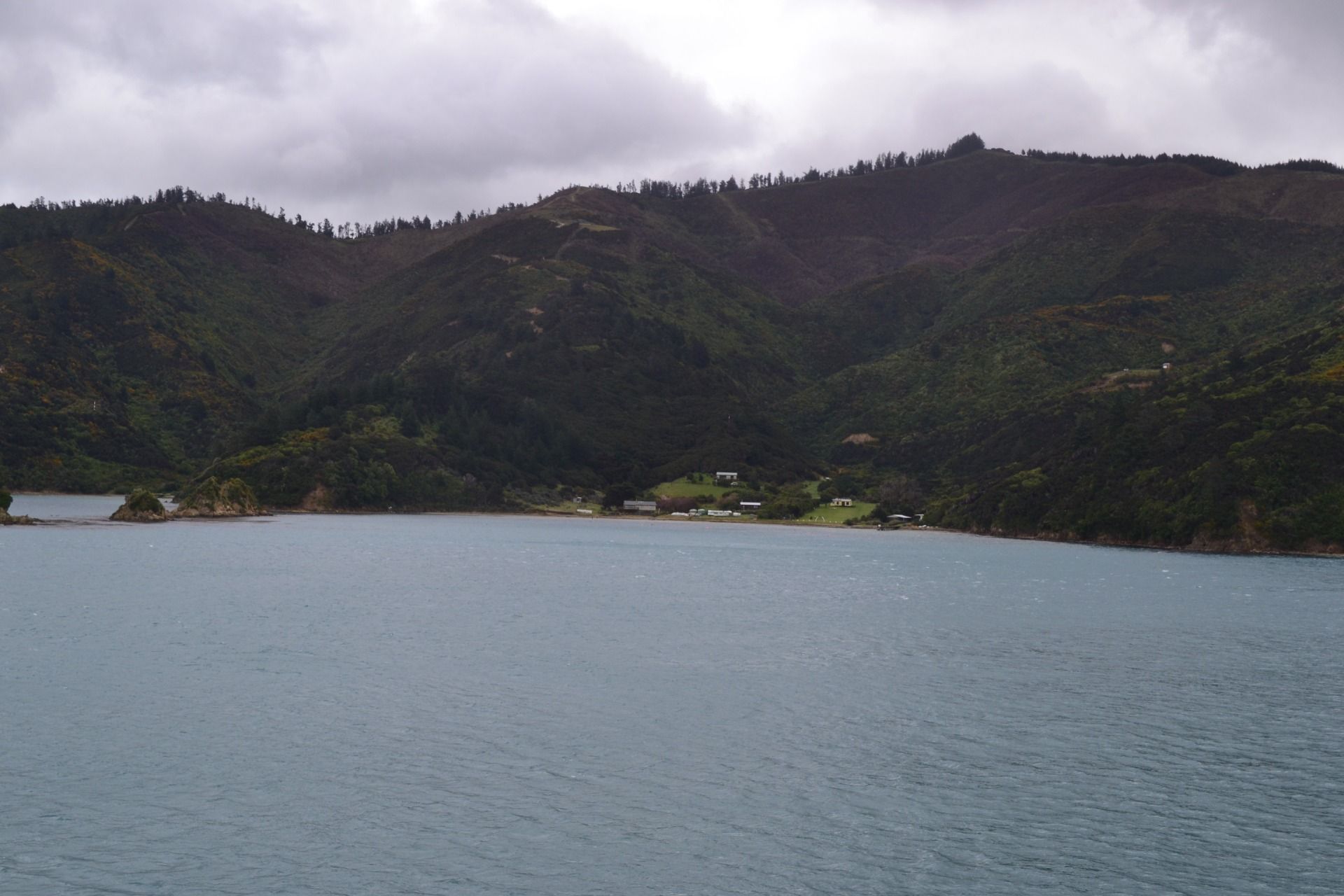
What a magnificent beauty of the nature!
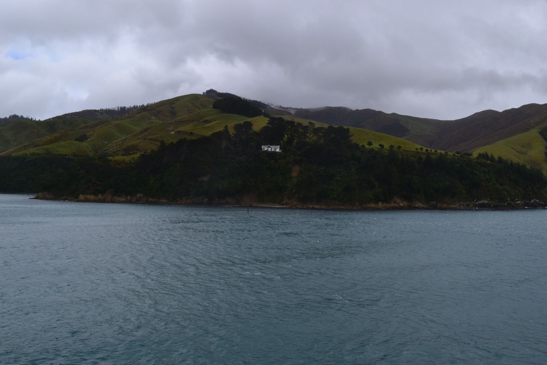
And there are even houses (people living) there:
Just a picture of me:
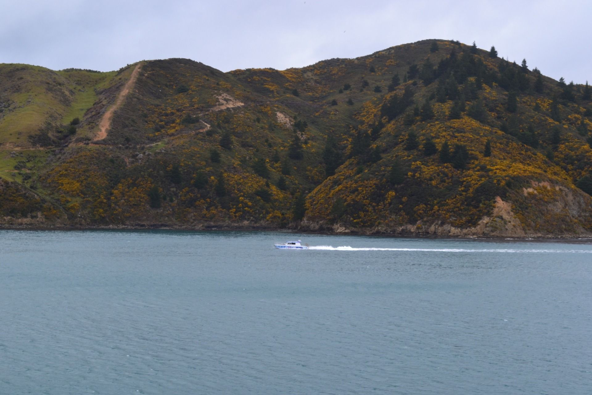
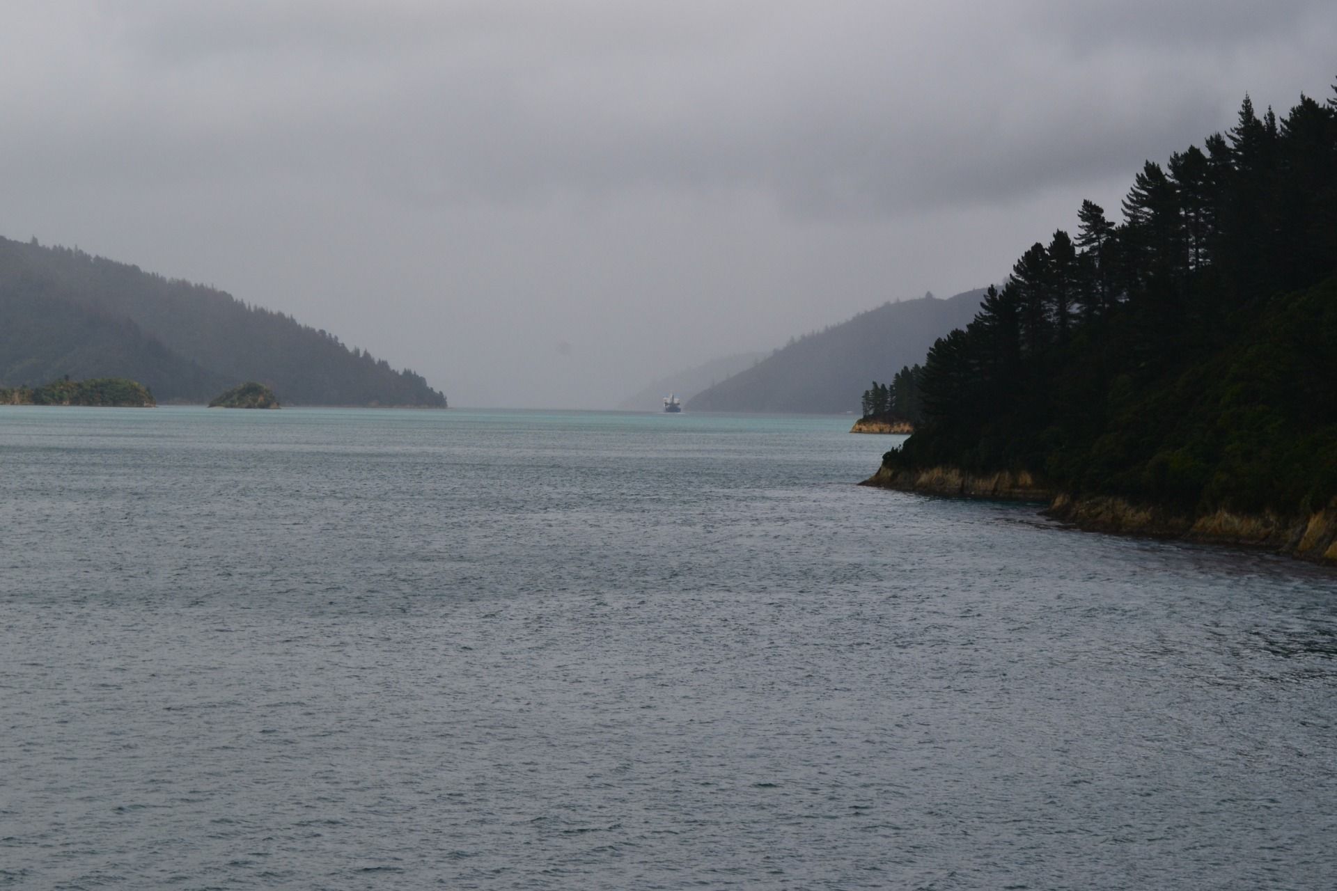
Some other shots from the deck:
The sun started to shine again ...
and the water became so blue:
Just Awesome!
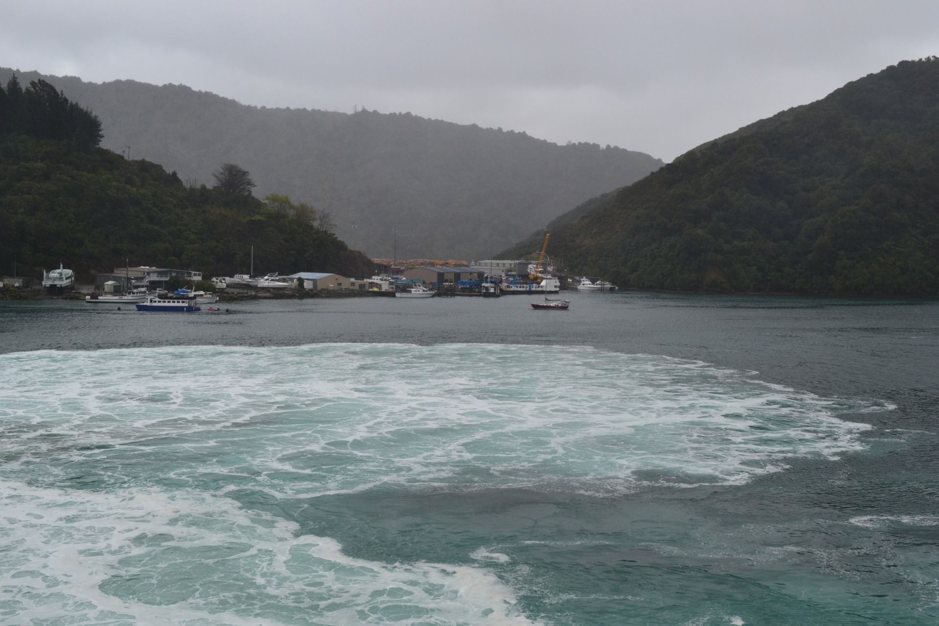
So, while our ferry was going to the port of Picton, the weather started to change again:
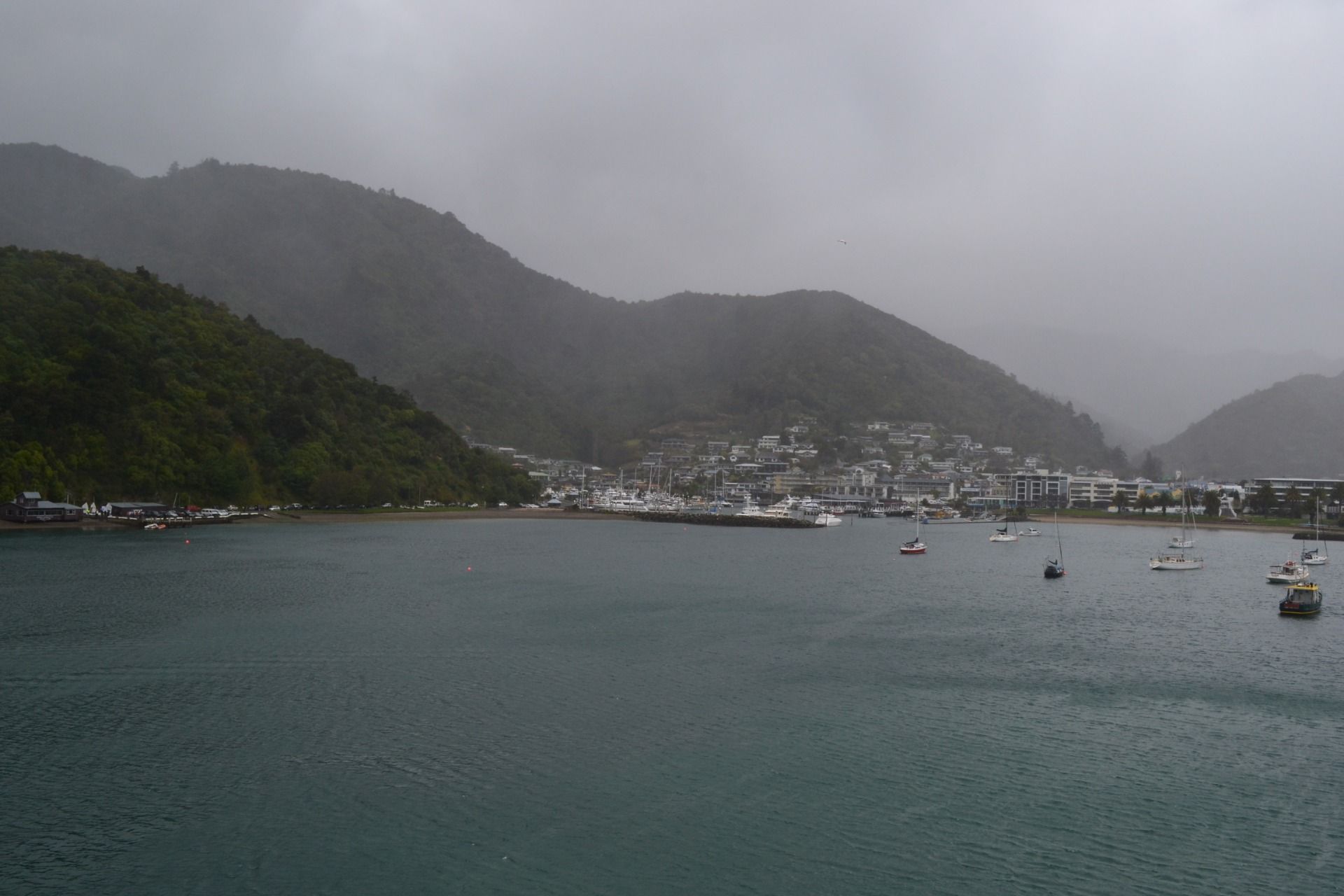
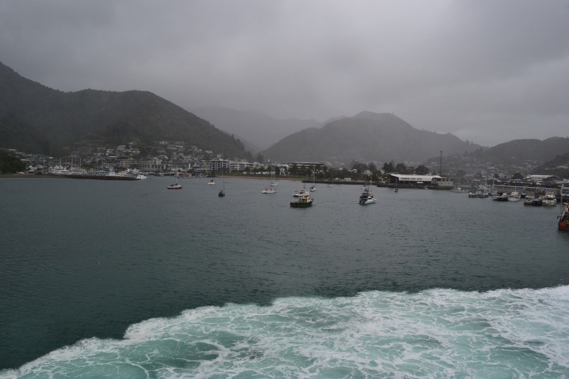
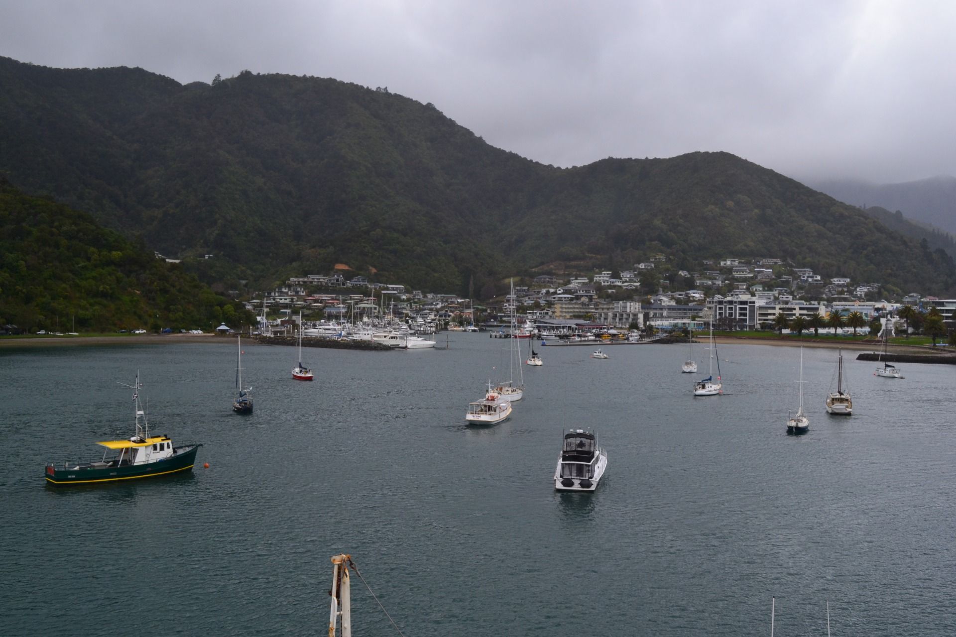
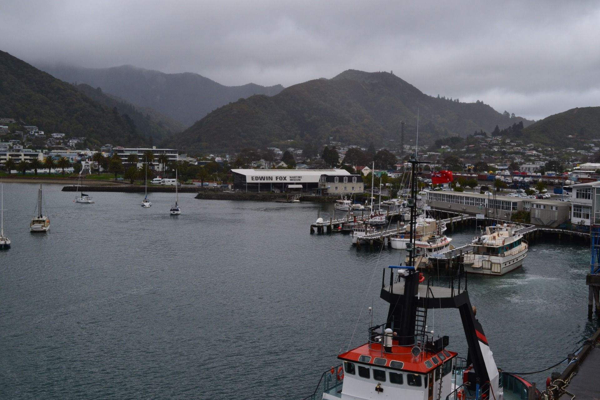
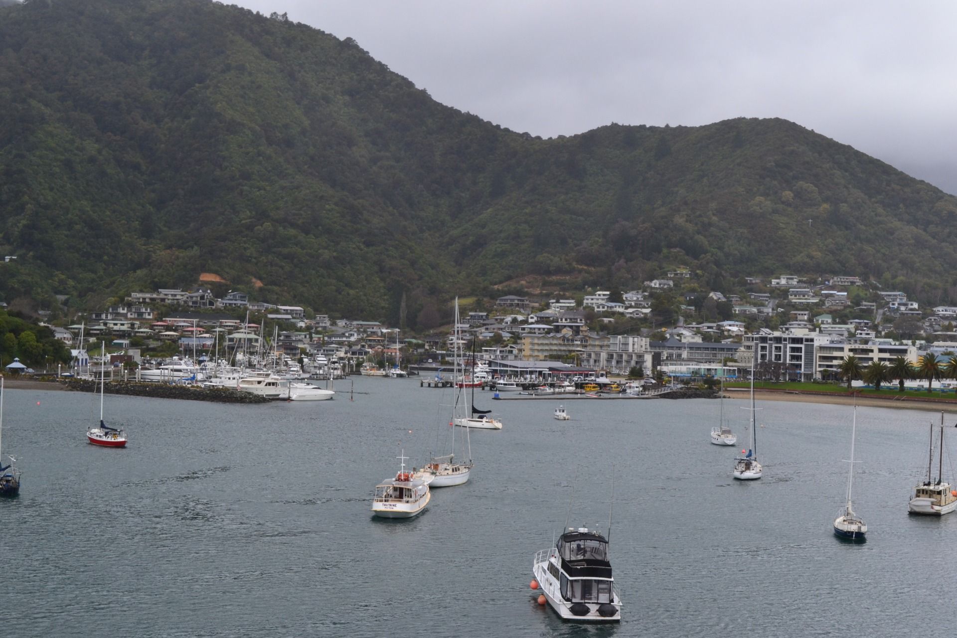
In a few minutes we were approaching the city of Picton:
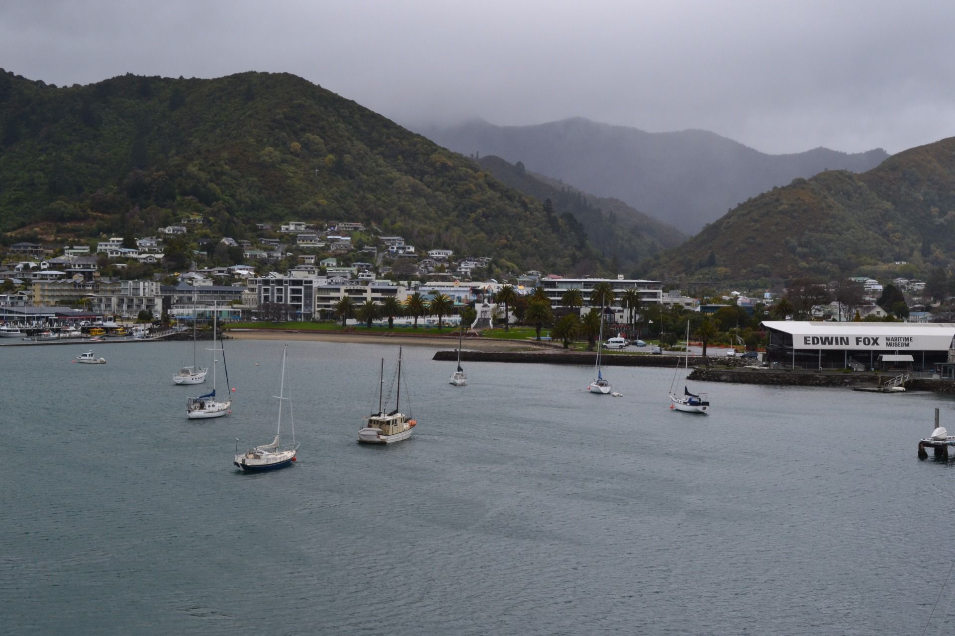
And this is Picton:
According to Wikipedia Picton (Māori: Waitohi) is a major hub in New Zealand's transport network, connecting the South Island road and rail network with ferries across Cook Strait to Wellington and the North Island:
That's it for now, dear Travelers! Thank you for stopping by and reading! Hope you enjoyed my travel blog. See you in the next one!
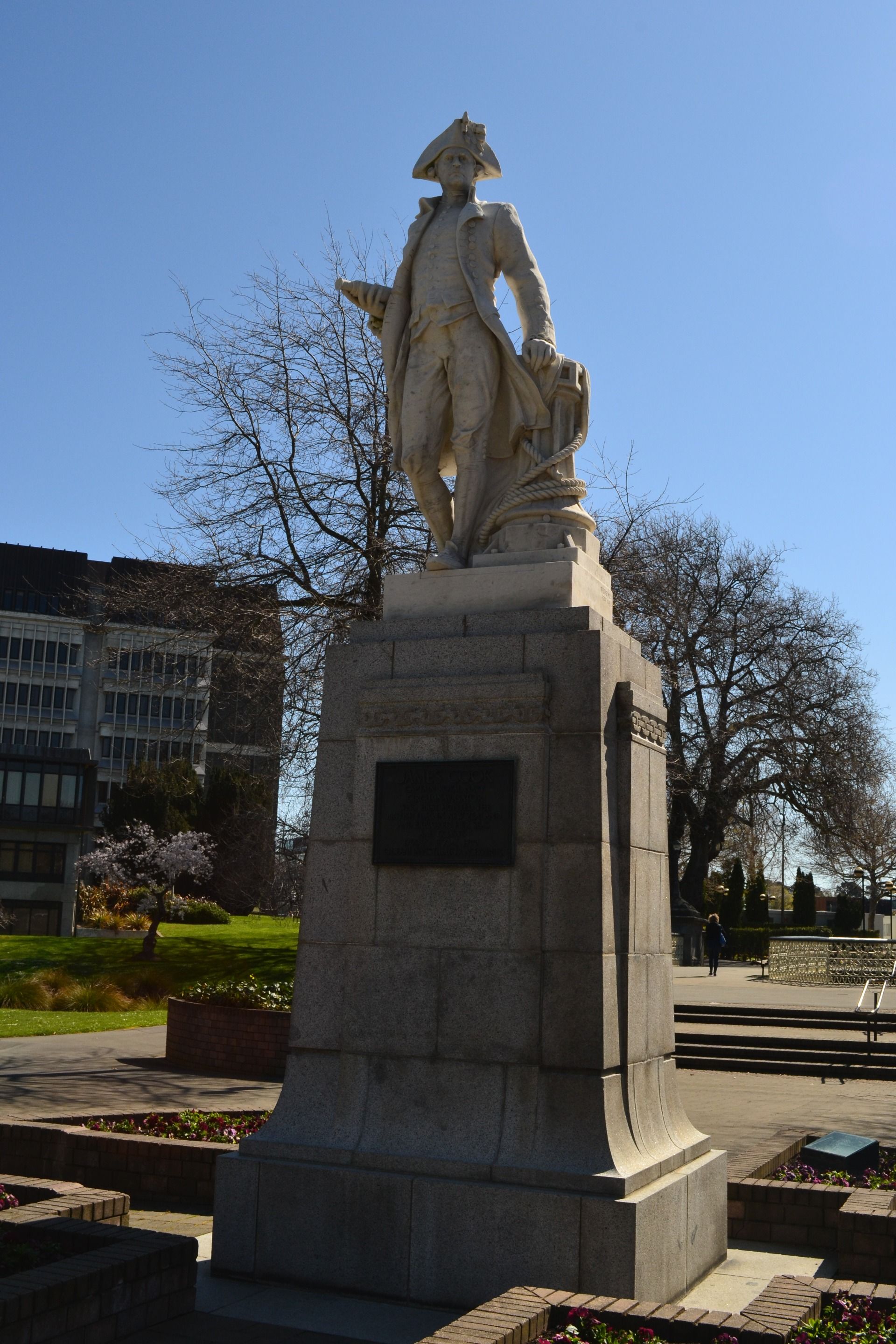
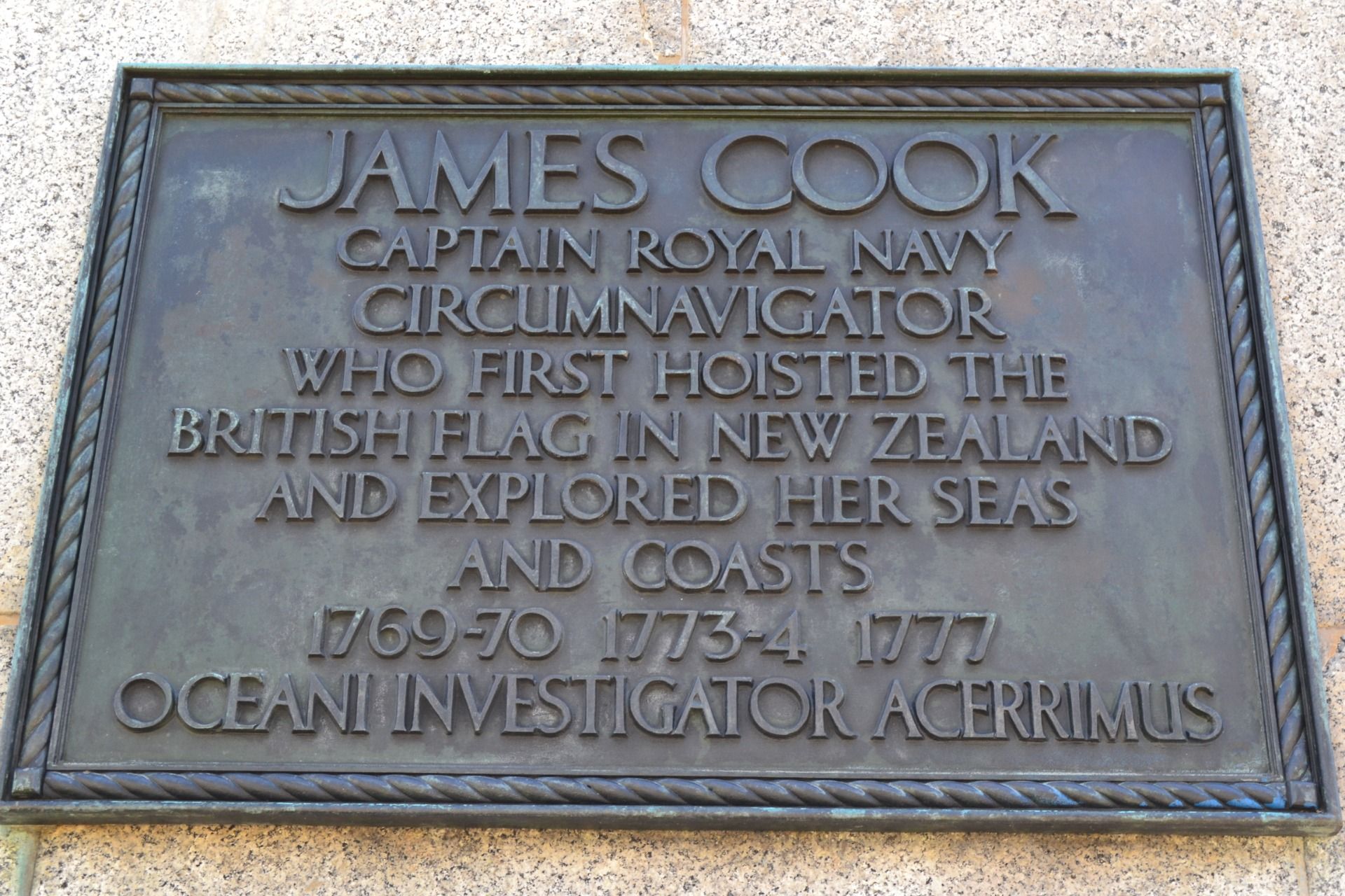
p.s. since today I wrote above Cook Strait I would like to add some pictures I took of the Cook Statue in Victoria Square, in the city of Christchurch:


Comments