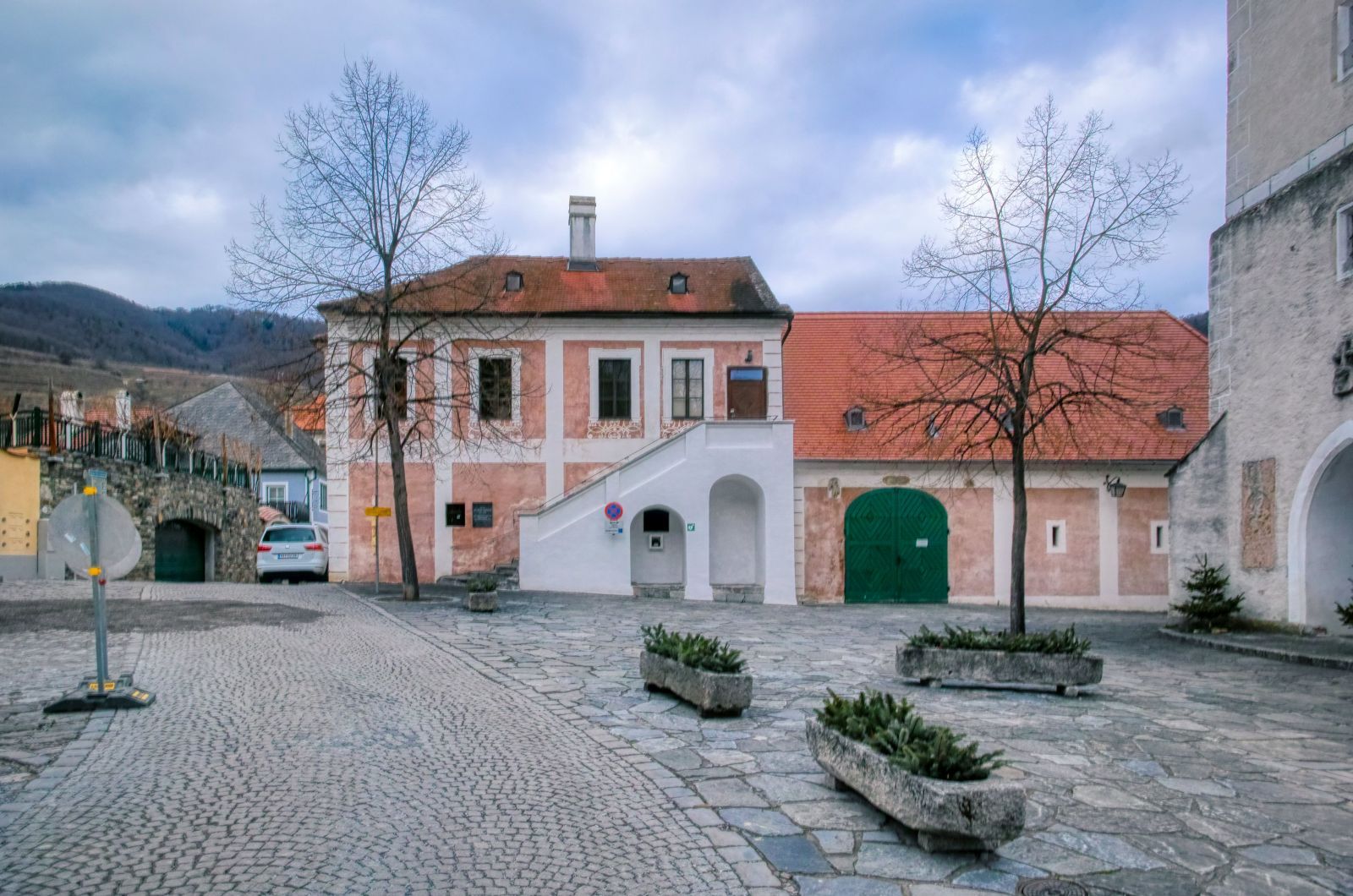
This circular hike is one of the "classic" hiking trails in Lower Austria's Wachau valley. It starts at the "Kirchenplatz" (church square) of Spitz. This village with about 1,600 inhabitants is the so called "heart" of Wachau, as the Danube valley between Melk and Krems is called.
From there you walk north, then turn right and then again left.
At the first crossroads you walk straight ahead.
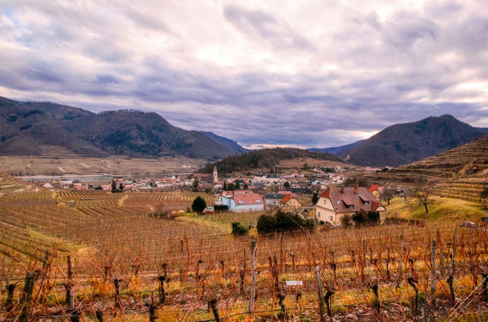
The way is quite steep and you'll soon have a beautiful view on Spitz.

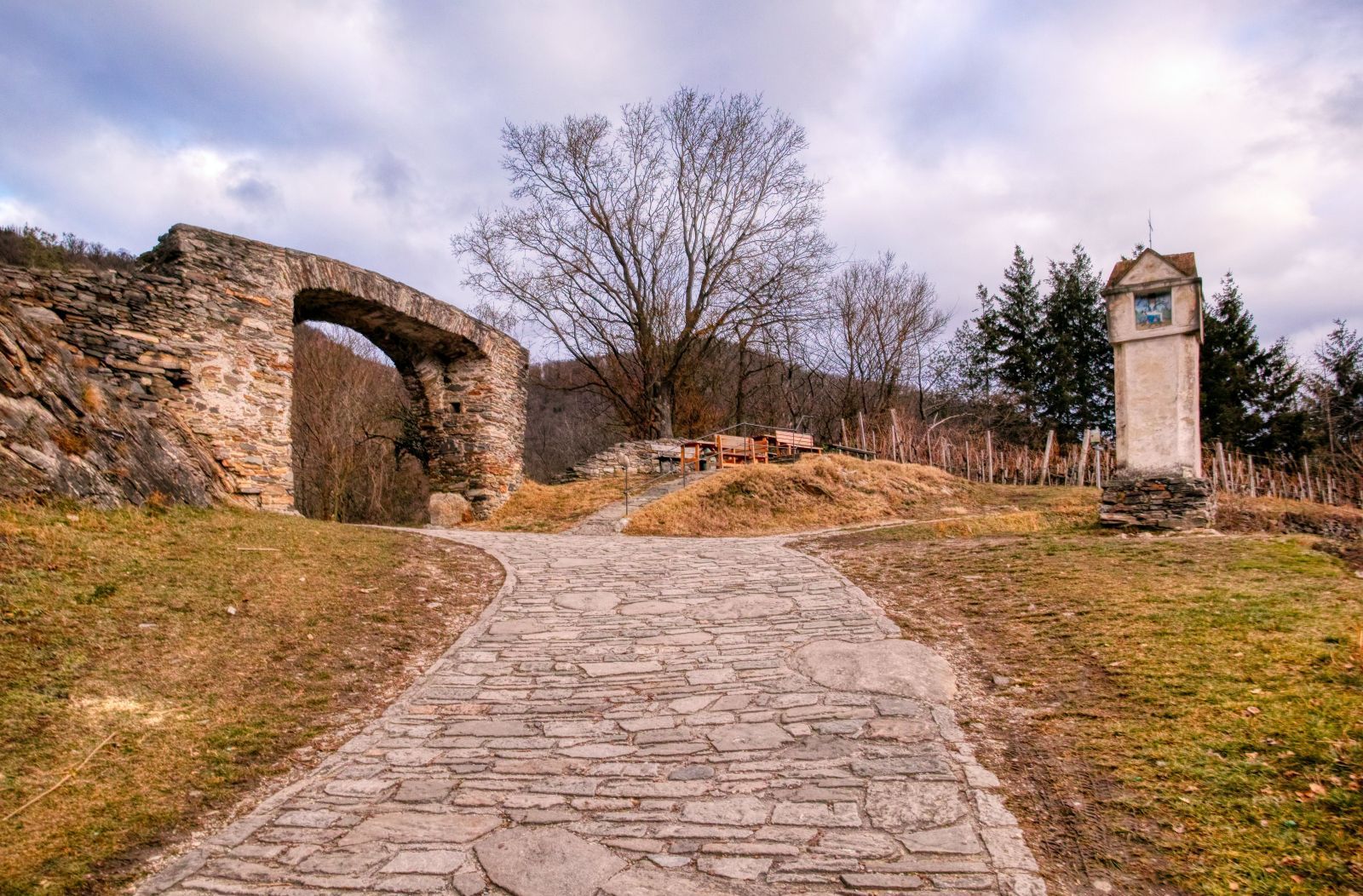
Then you reach the first "highlight" of this hike, the "Rote Tor" (red gate). It is the last remaining of the once seven gates of the city wall that surrounded Spitz. During the Thirty Year's War (1618-1648), the Swedish army destroyed the gate and invaded Spitz. Because of the lots amount of blood that was spilled during the battle, the gate became red and got the name "red gate". "Schwedentor" ("the Swedish's gate") is another name for this gate.
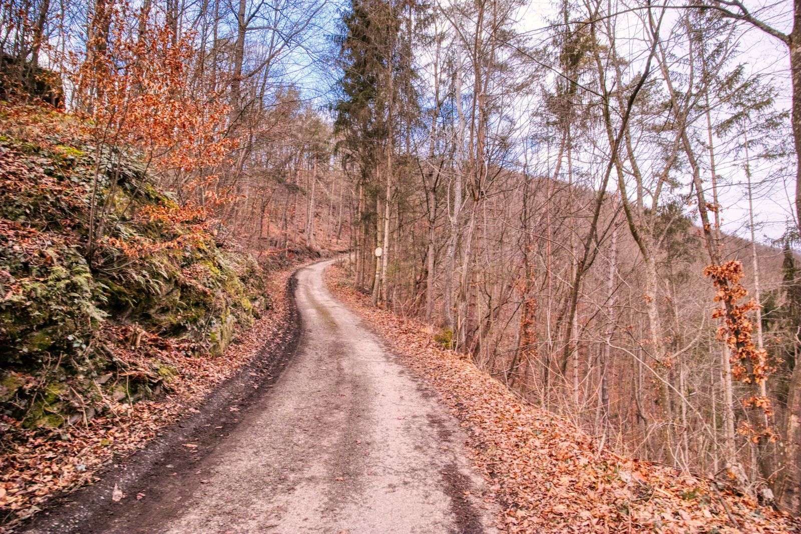
After passing the gate you have to walk through the wood for a while.
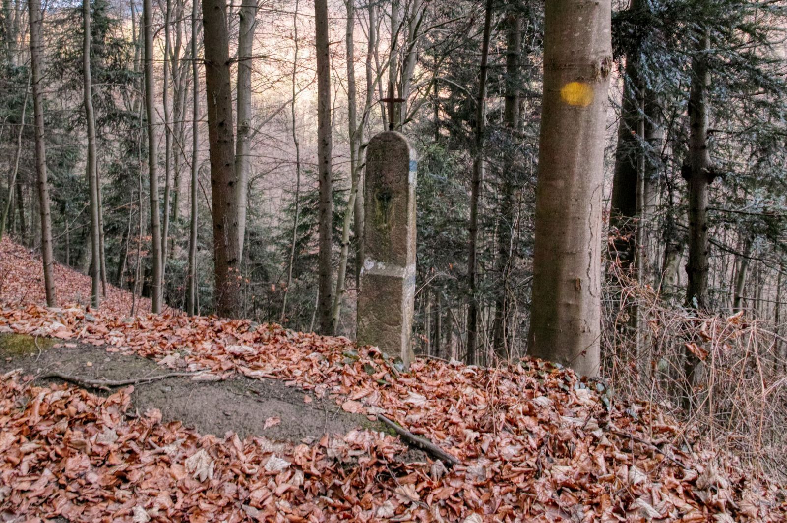
The next significant waypoint is the "Blaue Kreuz" ("blue cross") that is easy to oversee.
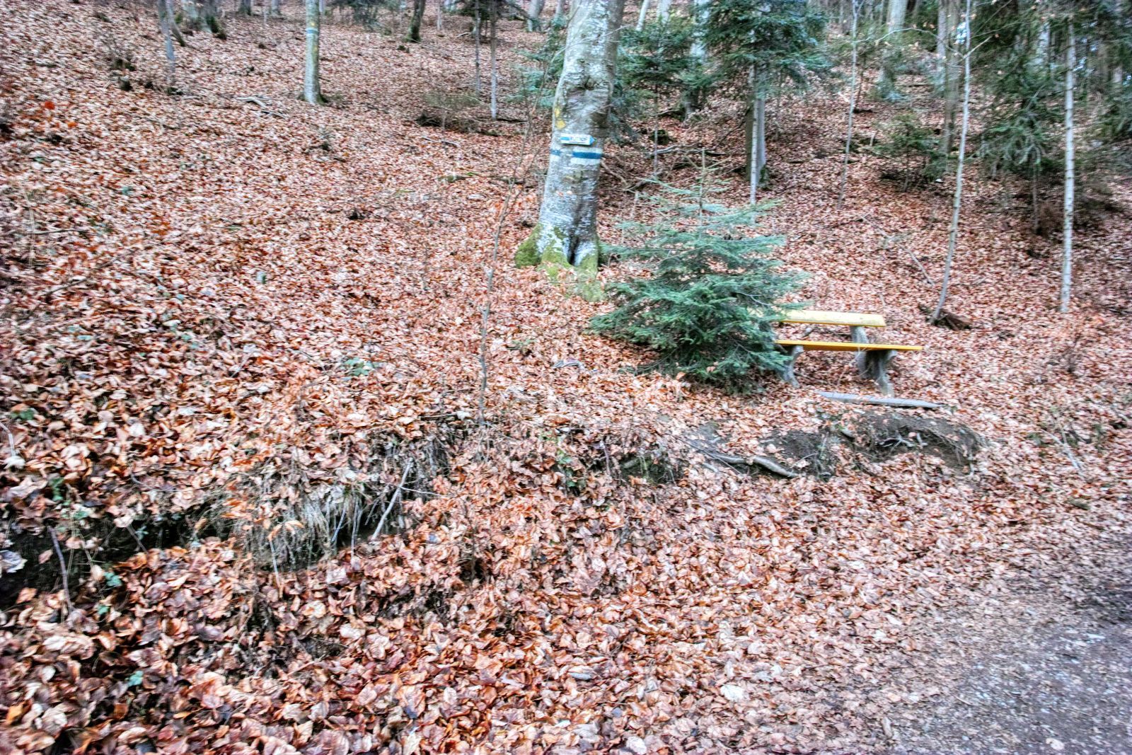
But the hiking trail that continues on the opposite side of the cross, right at this bench is even more easy to oversee.
If this path is too steep (or too hard to find) for you, you can also use other, less narrow roads. Detailled maps can be found on my German-language website schmatz.blog, on bergfex.at and on the website of the Lower Austrian Tourist Organisation.
I can strongly recommend to download the GPS data from here or use the Bergfex app. There are signposts ("Rotes Tor Rundwanderweg"), but sometimes there are less narrow and less steep alternatives to the "official" trail.
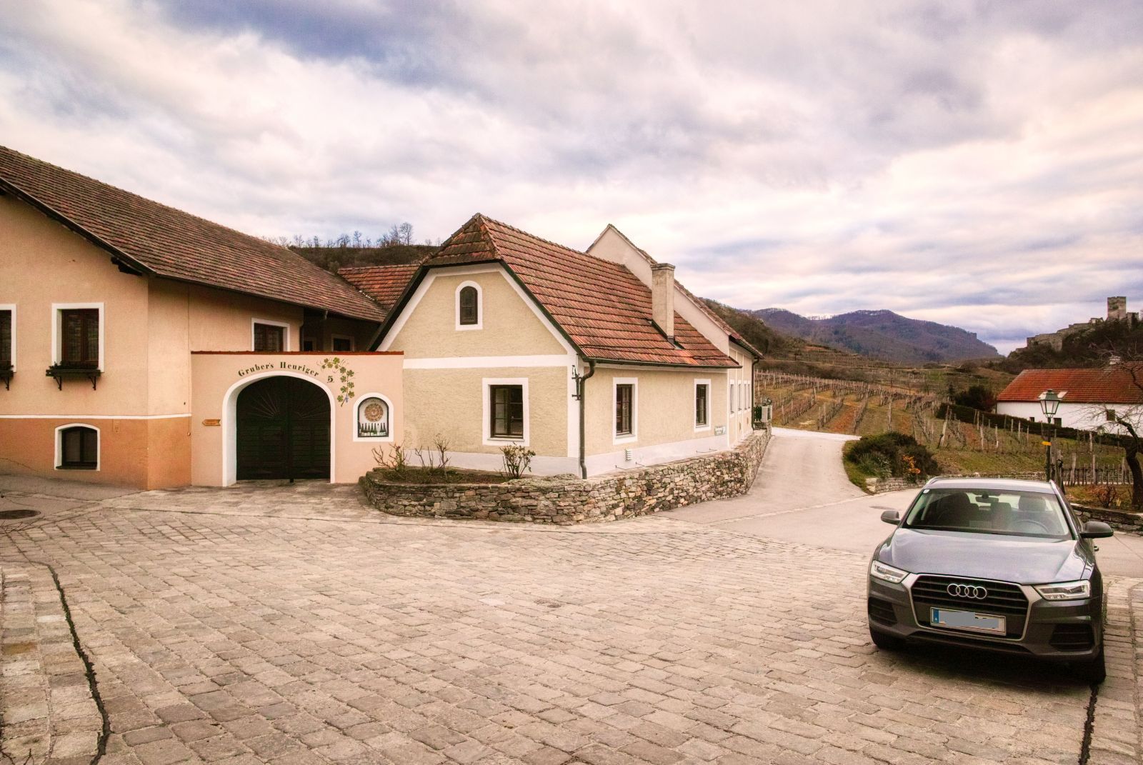
After you have walked through the wood for approximately one hour you will reach the village again. Here, before "Grubers Heurigen" you have to turn left.
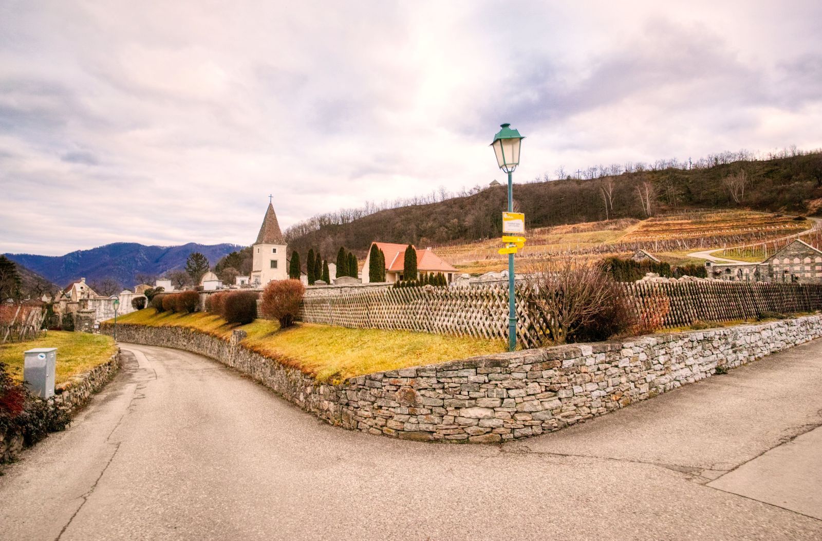
Then you walk along the cemetery.
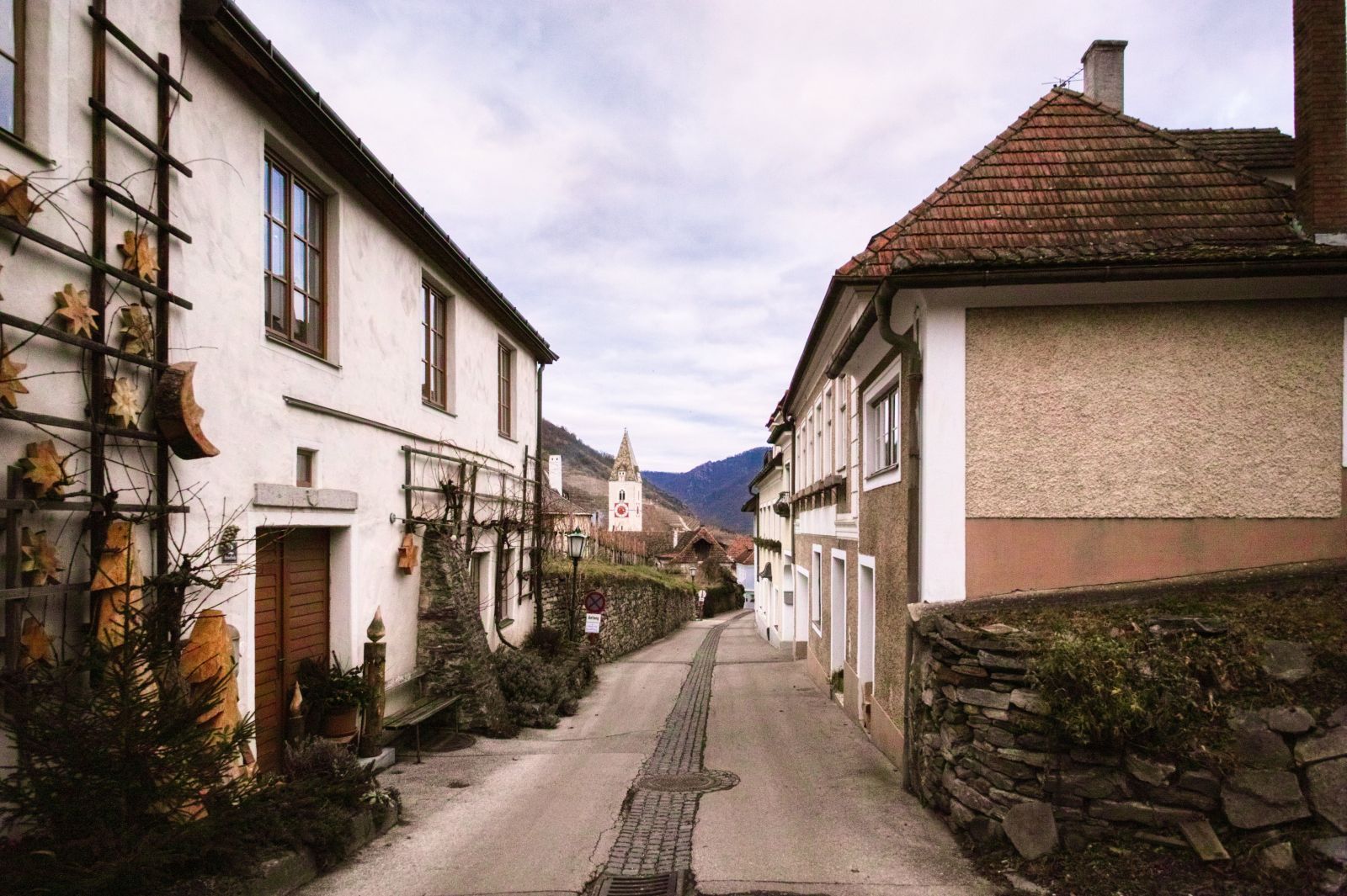
And then you'll already see the church and you'll be back at the church square after some minutes.
The hiking distance is about 5.5 kilometers and the "official" walking time is 2 hours. I didn't need that much time, but still the hike is quite exhausting since the total ascent is about 275 meters!
I also published a description in German language that includes more images and a detailled map on schmatz.blog!

Comments